al-Dana al-Shamaliyeh الدانا الشمالية
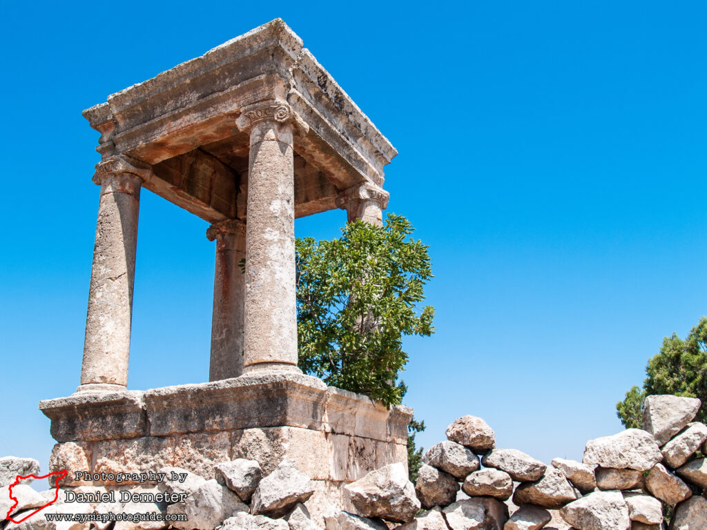
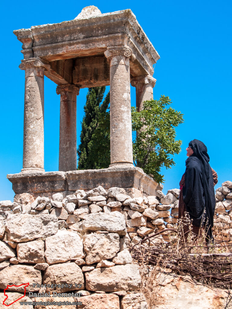
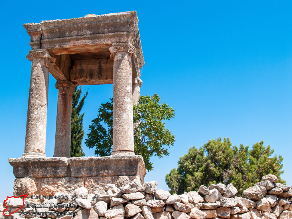
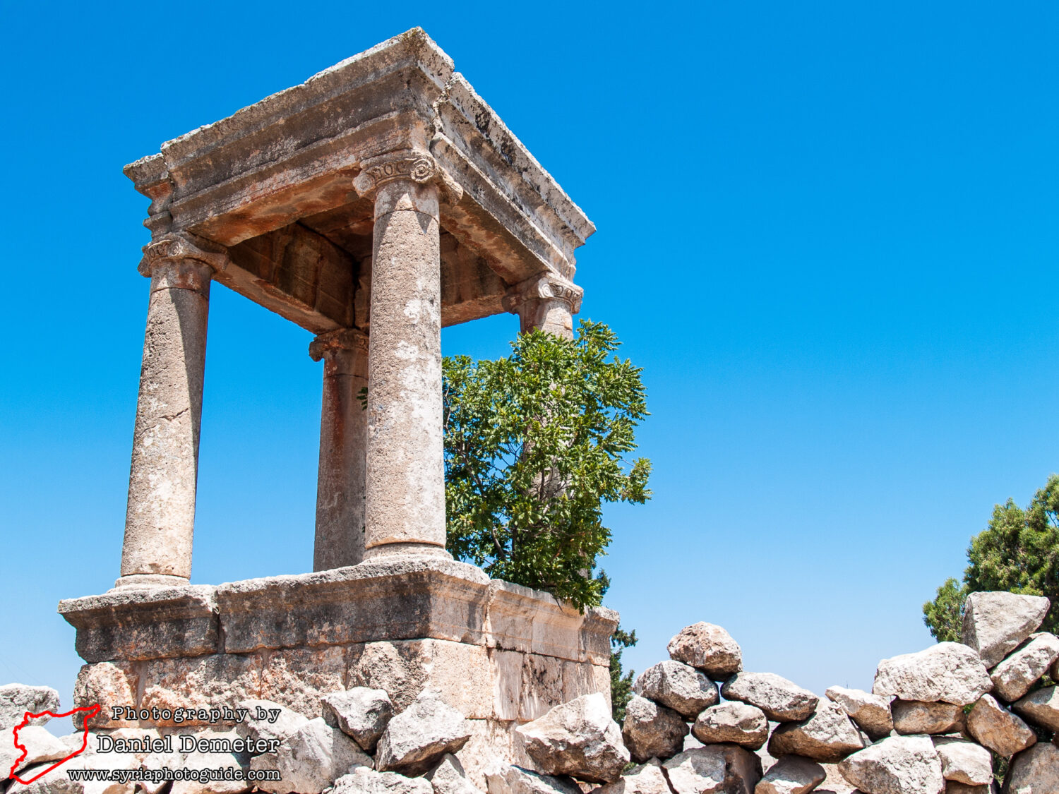
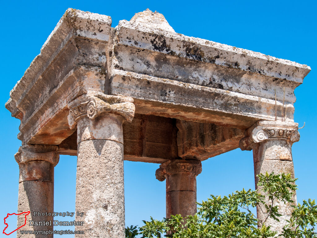
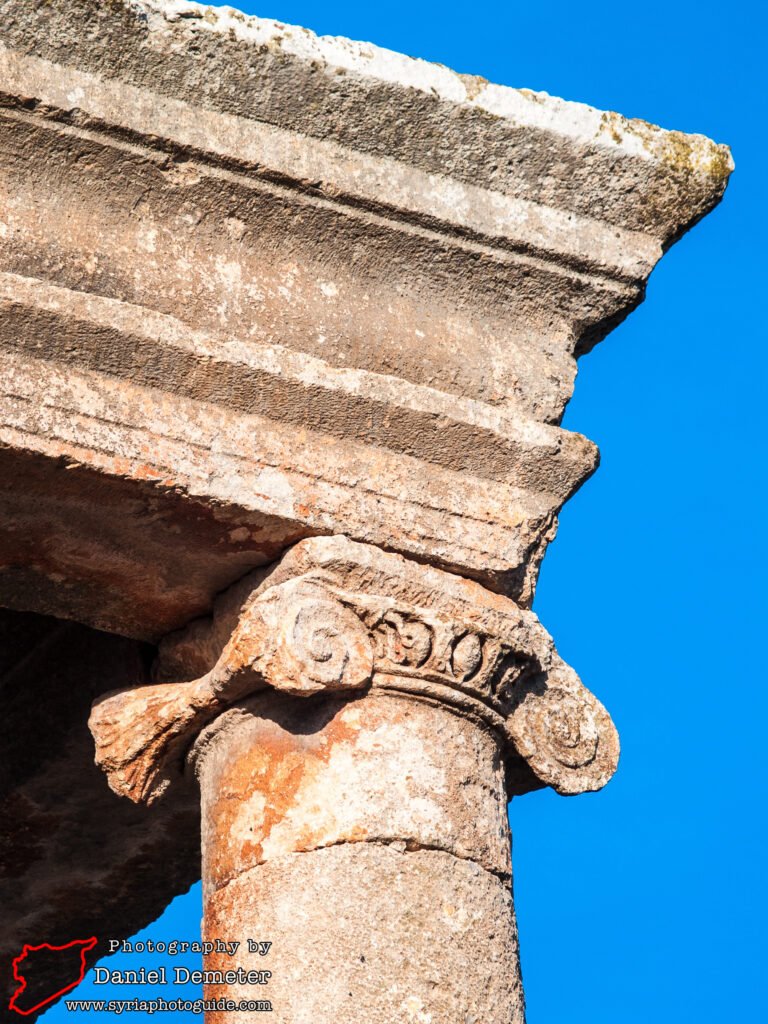
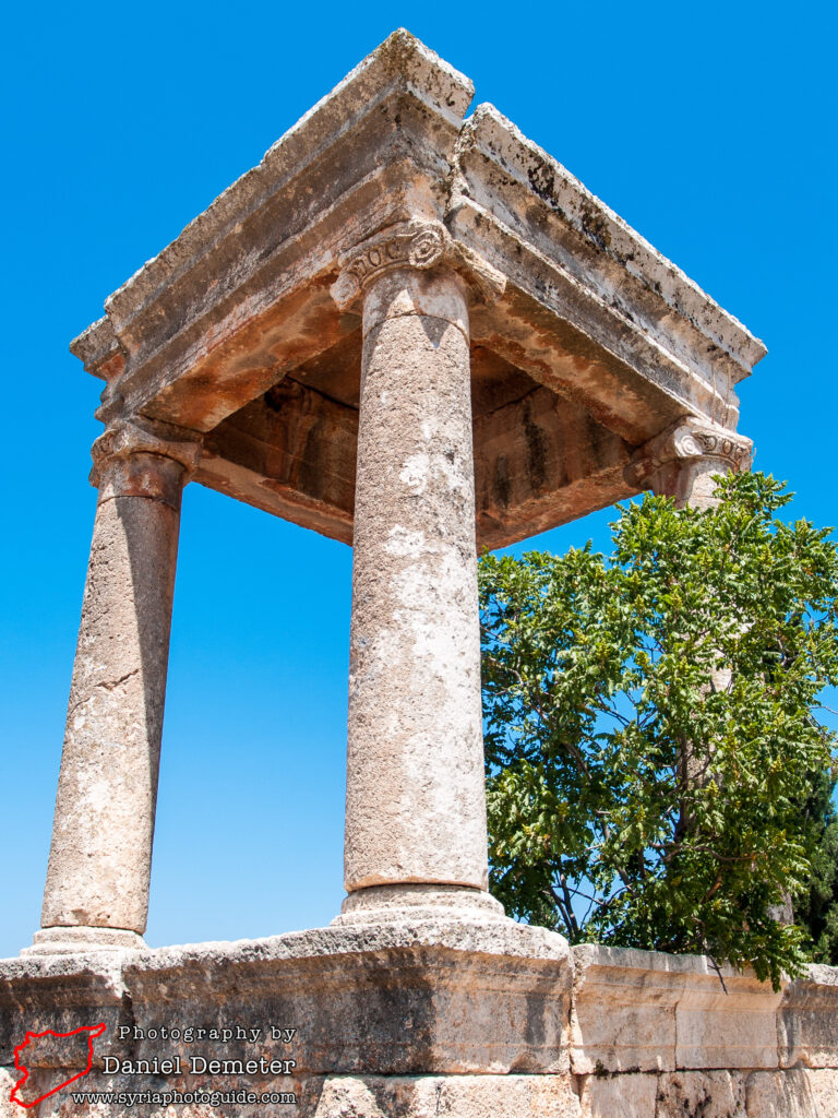
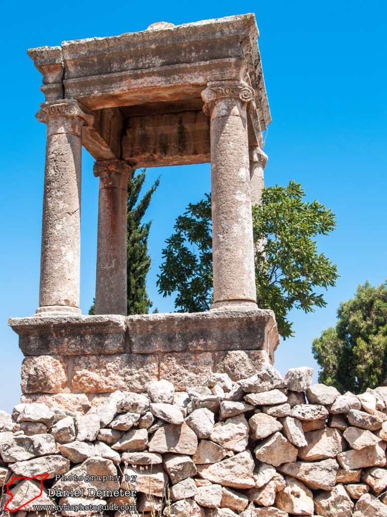
The small agricultural town of al-Dana al-Shamaliyeh (الدانا الشمالية) contains a well preserved Roman tomb that dates to the second century. The design of the tomb takes the form of a pyramidal canopy that is supported by four Ionic columns. It is located a short walk northwest of the town center. While the yard containing the tomb is fenced off, someone in the neighborhood will likely track down the key for you. Regardless, the tomb is clearly visible from the street. There do not appear to be any other surviving remains from the period nearby, though some historical records mention a cistern to the west that may have been associated with a bathhouse.
al-Dana al-Shamaliyeh (الدانا الشمالية) is at the center of an important plain located between Jebel Barisha (جبل باريشا), to the southwest, and Jebel Samaan (جبل سمعان), to the northeast. The main route from Antakya (ancient Antioch), to the west, and Aleppo (حلب), to the east, passes through the plain. Additionally, the ancient route between Apamea (آفاميا), to the south, and Cyrrhus, the modern al-Nabi Houri (النبي هوري), to the north, also passed through here. It has thus been a strategic crossroads for thousands of years, and is cited as far back as the Egyptian and Assyrian archives. According to archaeologist George Tchalenko, the plain also attracted a large number of monastic institutions during the late fifth and sixth centuries.
Be aware that there are two sites covered on this website under the name al-Dana al-Shamaliyeh (الدانا الشمالية). The other is located in the south of the limestone massif region, near to Maarat al-Naaman (معرة النعمان).
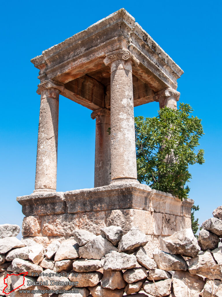
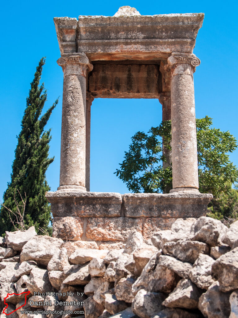
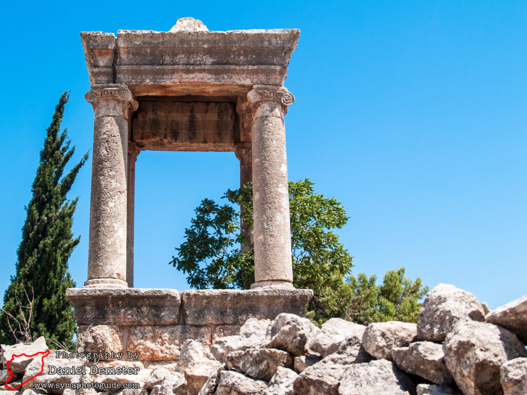
Getting There: al-Dana al-Shamaliyeh (الدانا الشمالية) is easy enough to reach, as there are fairly frequent microbuses from Aleppo (حلب) to the town. The trip takes about 30 minutes. The Roman road (الطريق الروماني) at Tel al-Karameh (تل الكرامة) is near enough to al-Dana al-Shamaliyeh (الدانا الشمالية) to combine in a single visit, perhaps with a hike up Jebel Sarir (جبل سرير). The Byzantine sites of Serjableh (سرجبله) and Kafr Lusein (كفر لوسين) are also nearby, to the northwest.
Coordinates: 36°12’53.12″N / 36°46’13.95″E
Transliteration Variants: al-Danah
Rating: 3 / 10
