Qalaat Mirza قلعة ميرزا
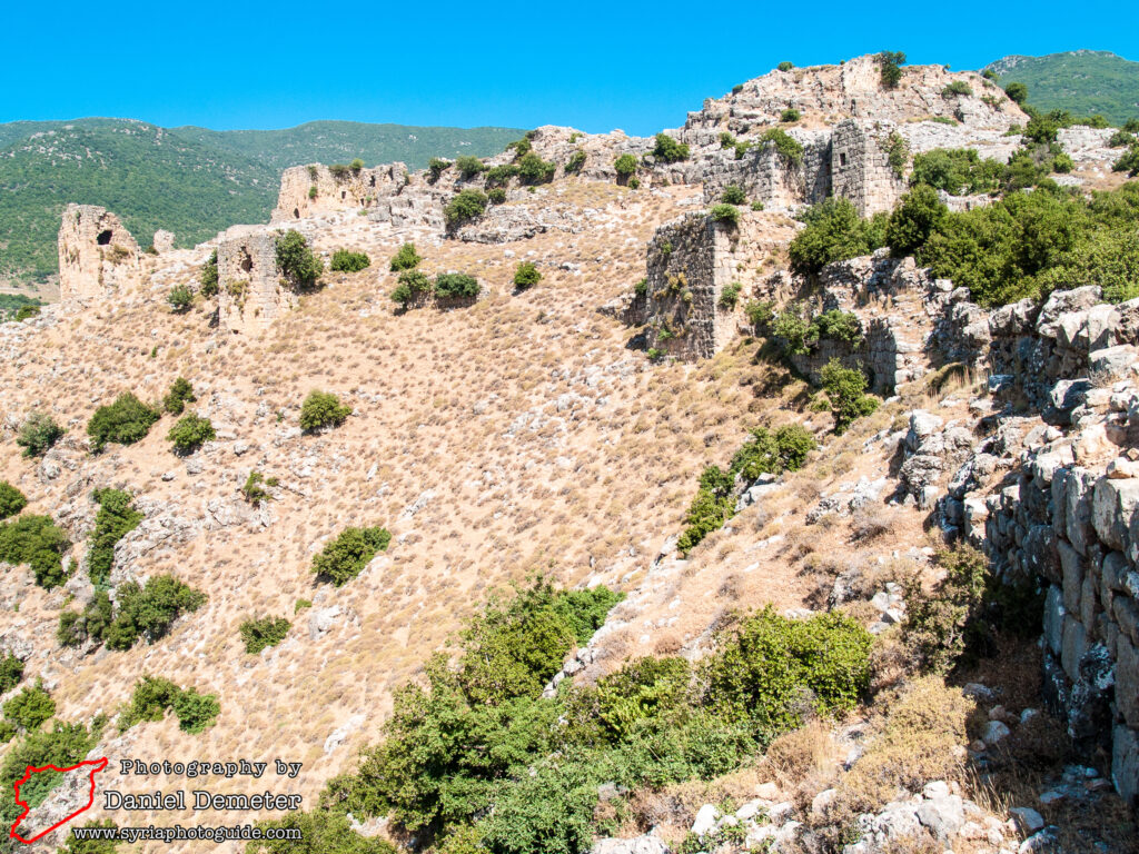
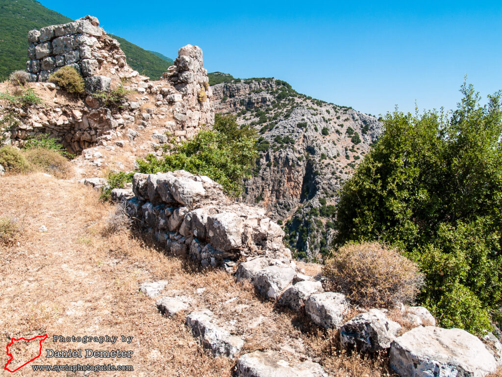
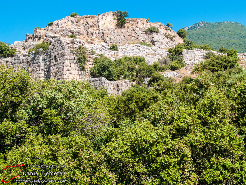
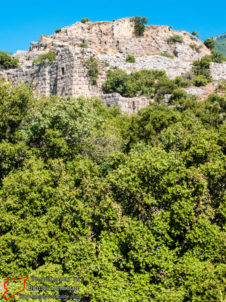
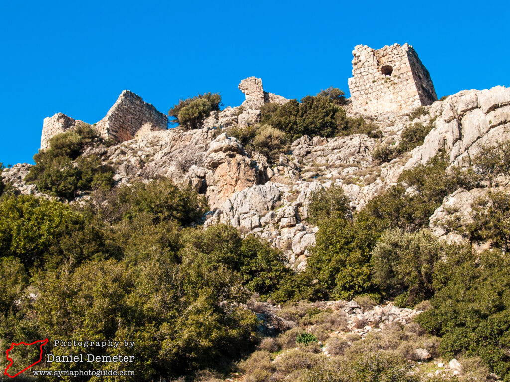
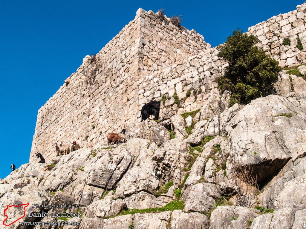
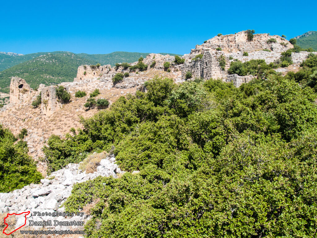
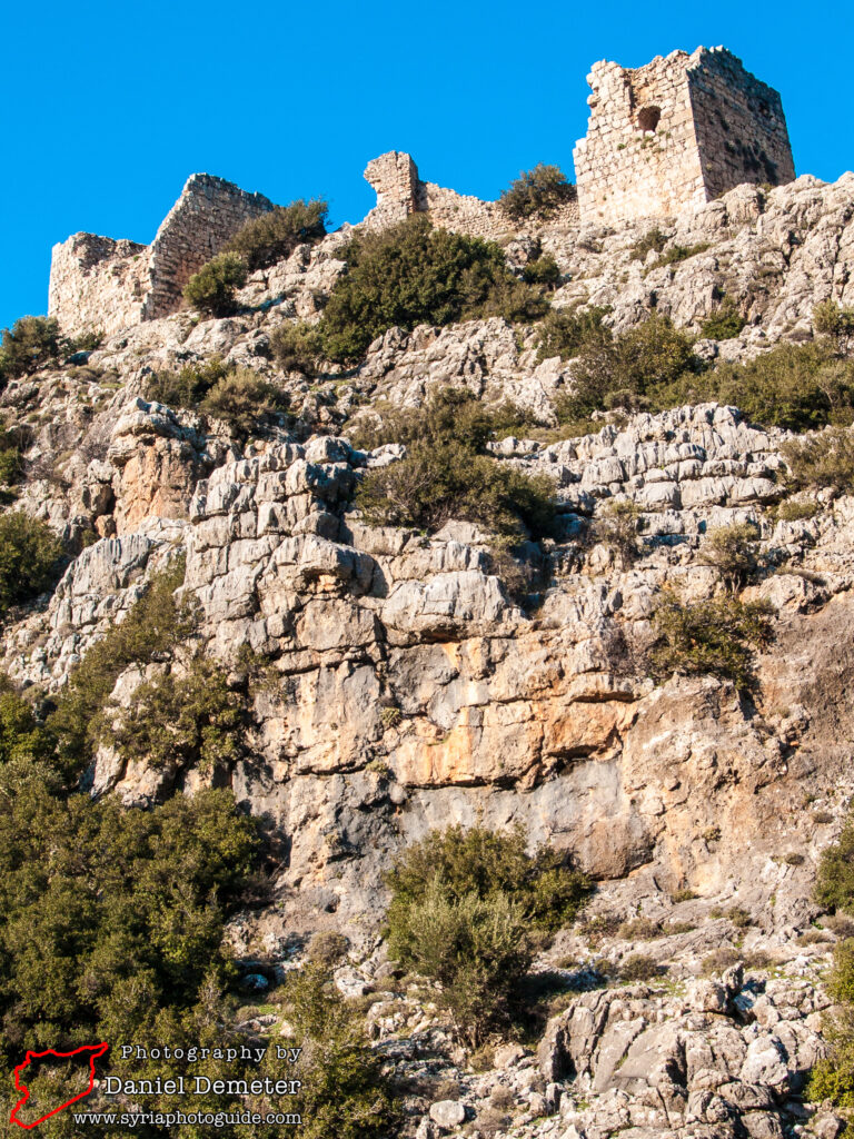
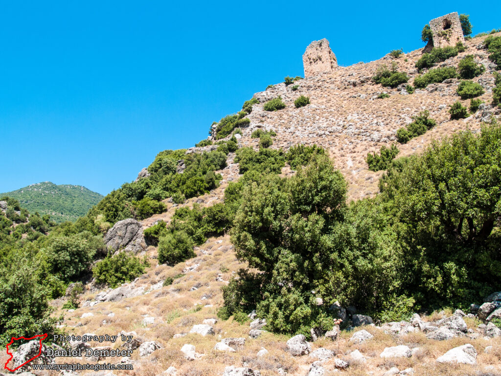
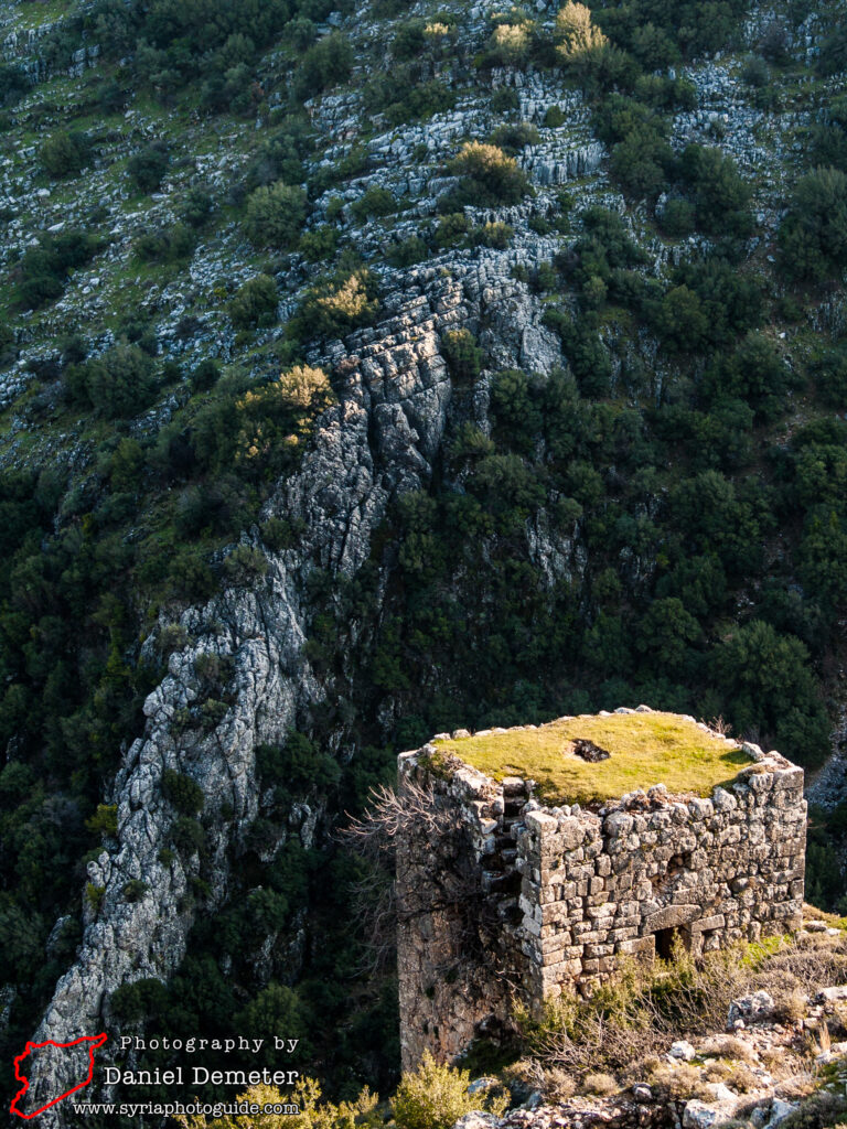
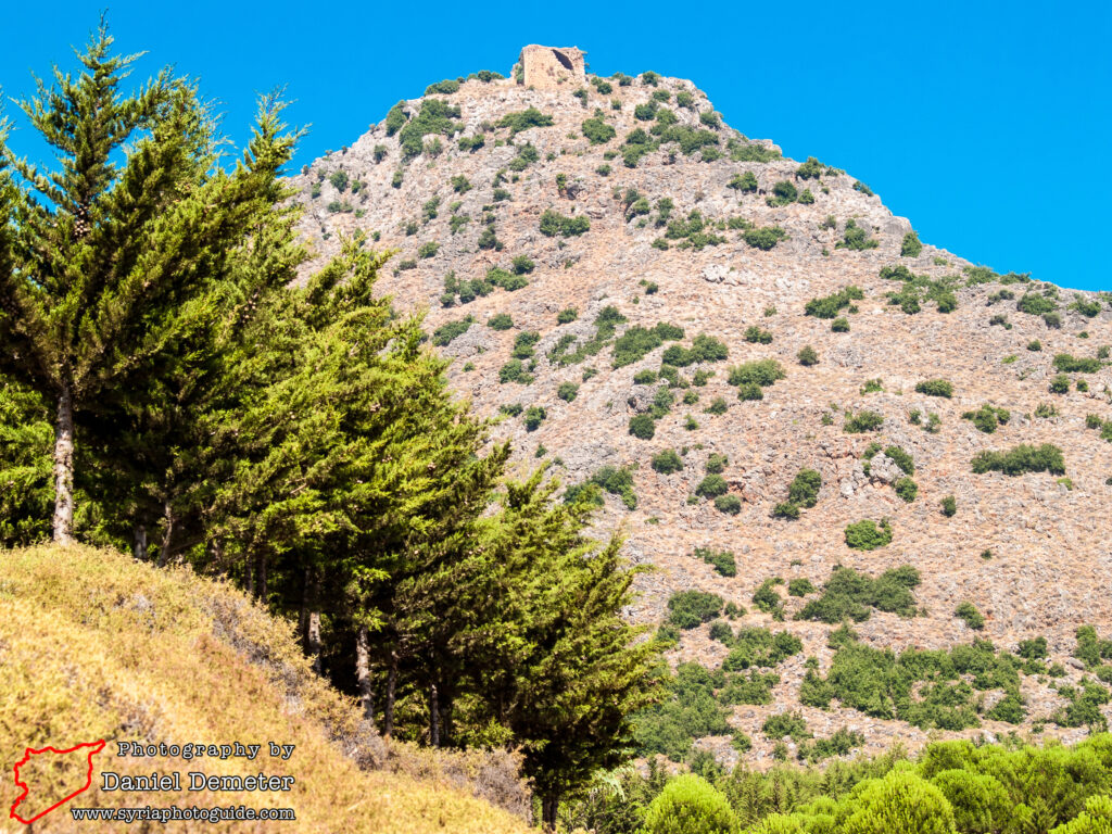
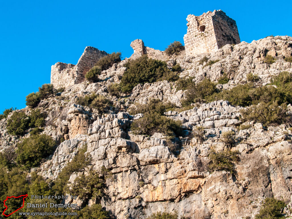
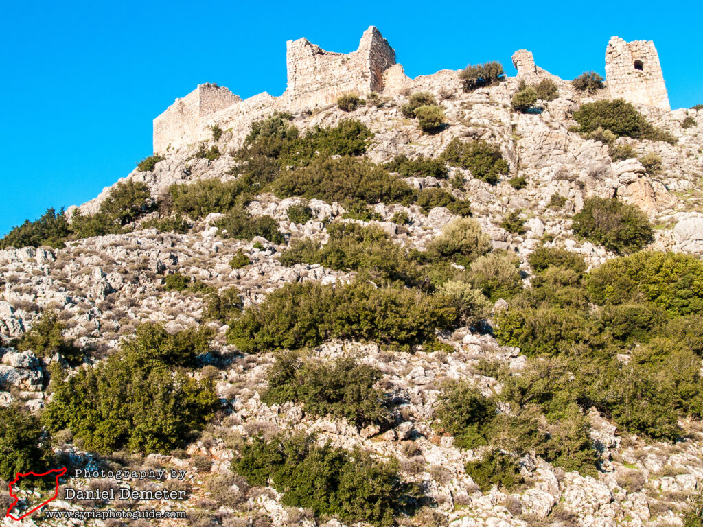
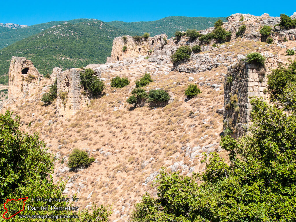
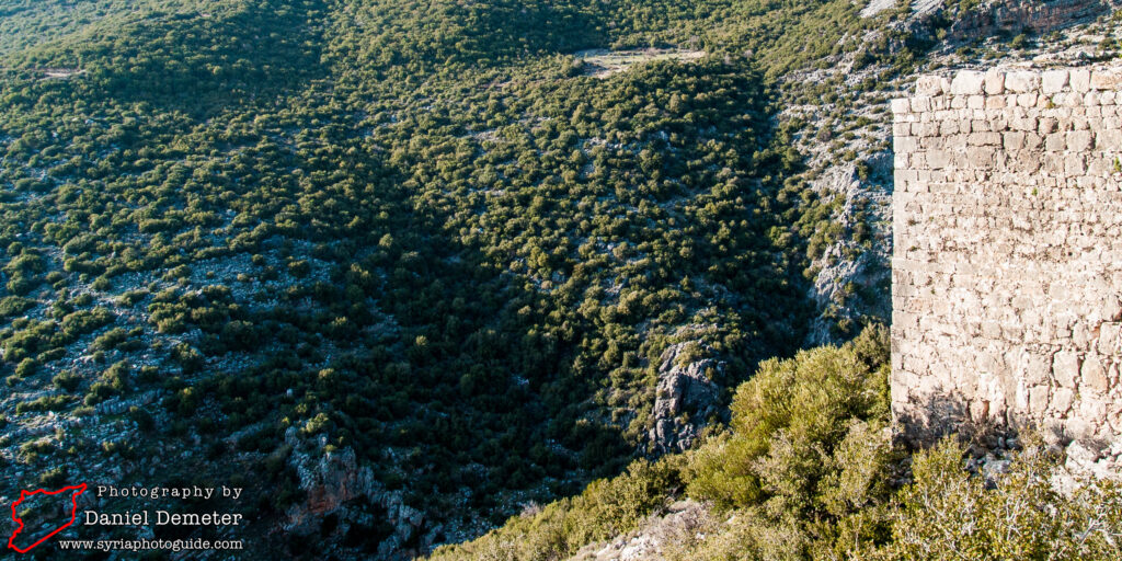
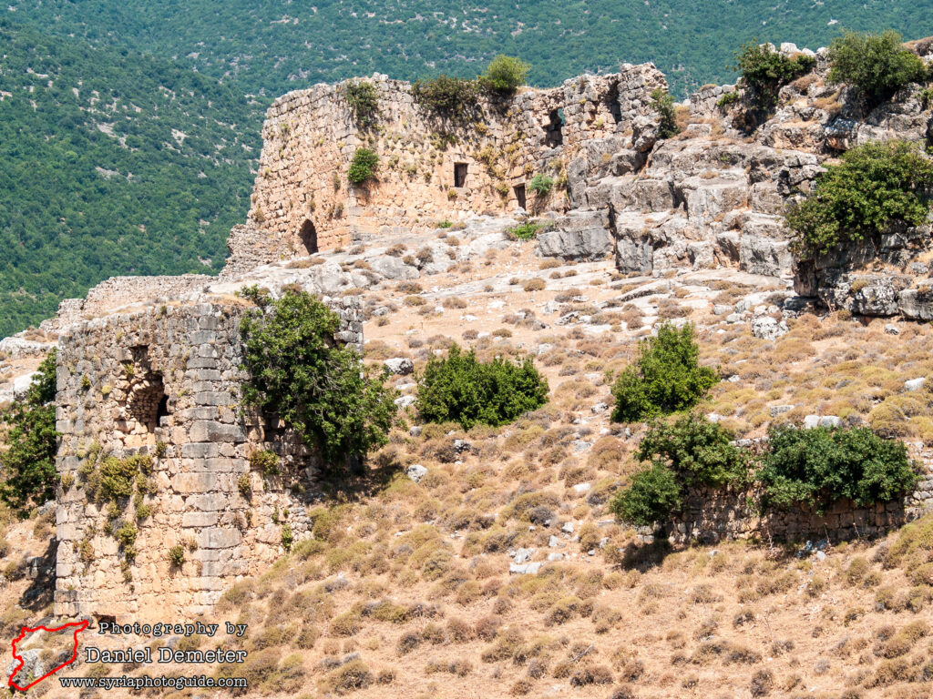
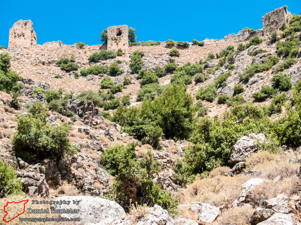
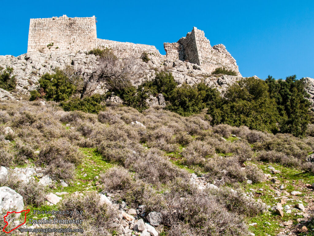
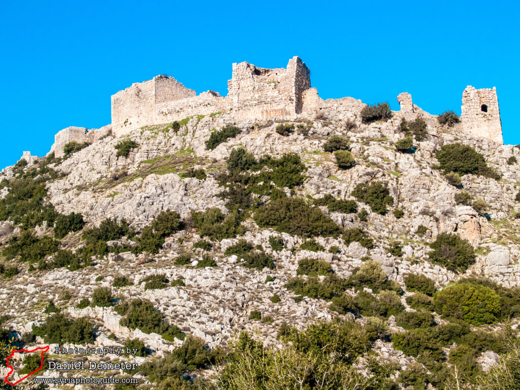
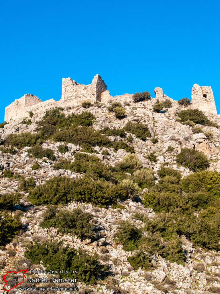
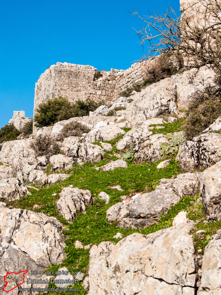
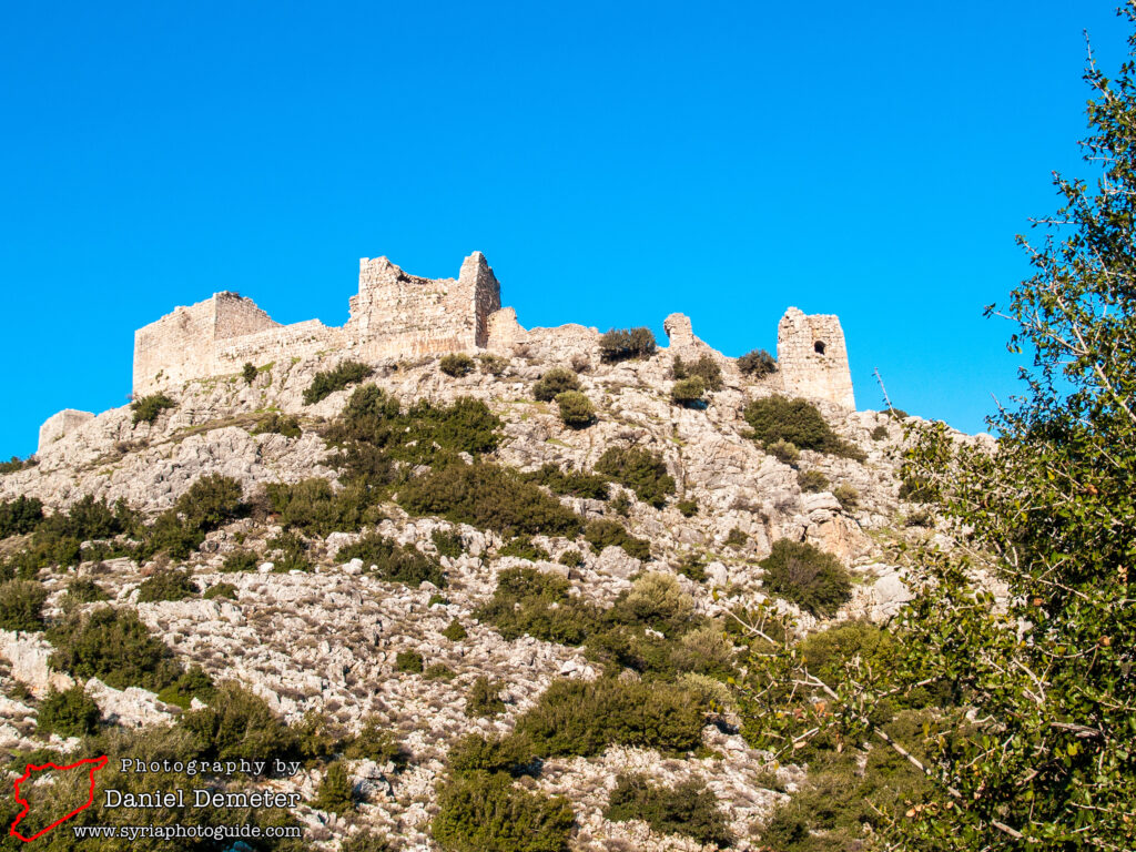
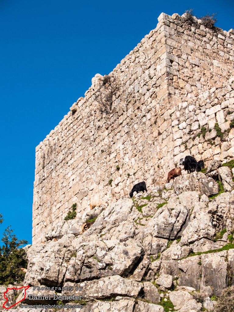
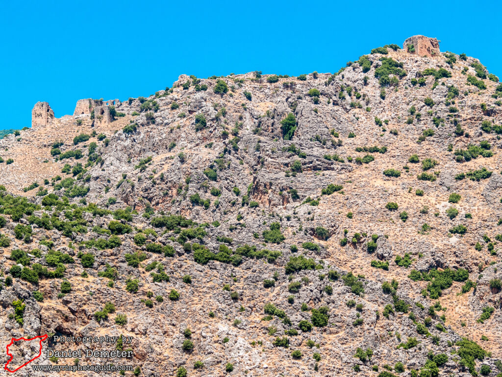
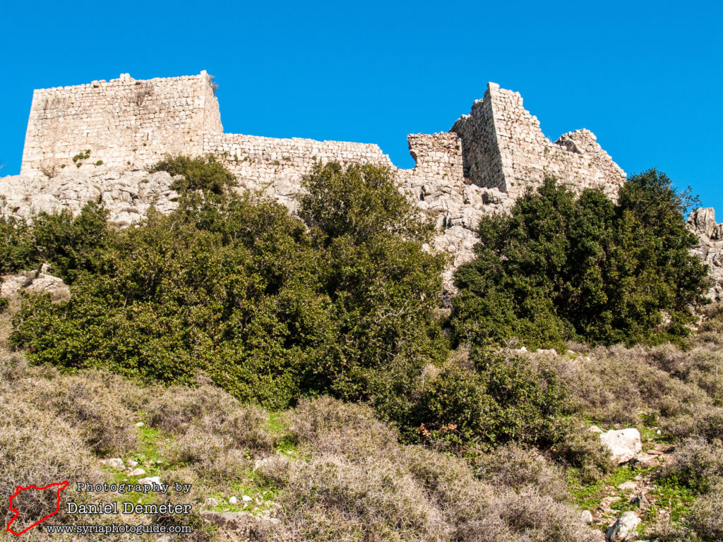
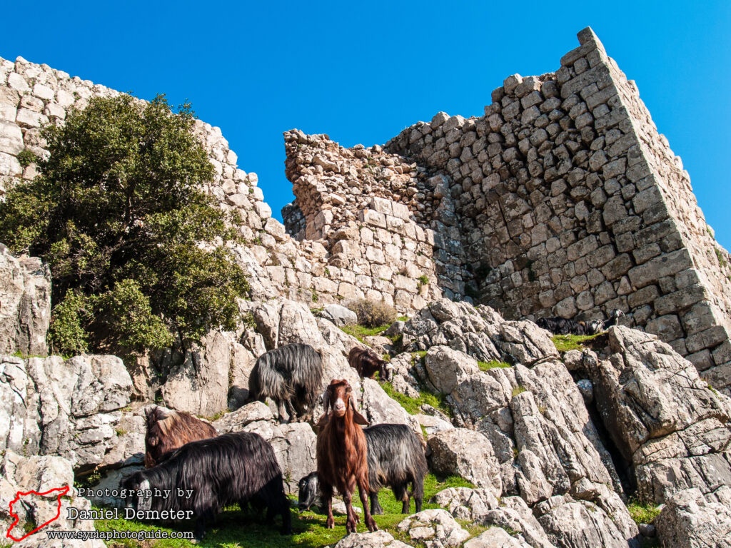
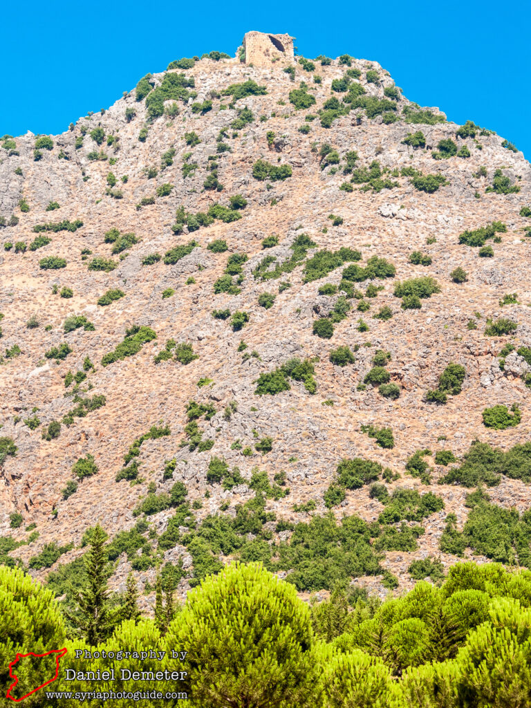
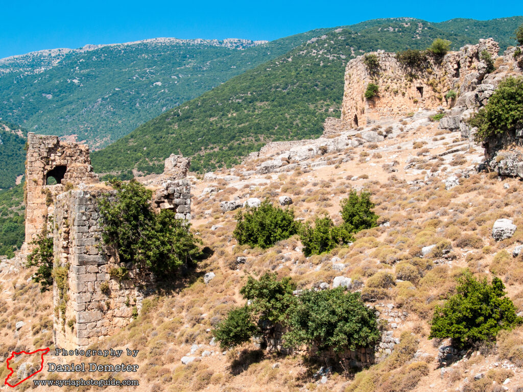
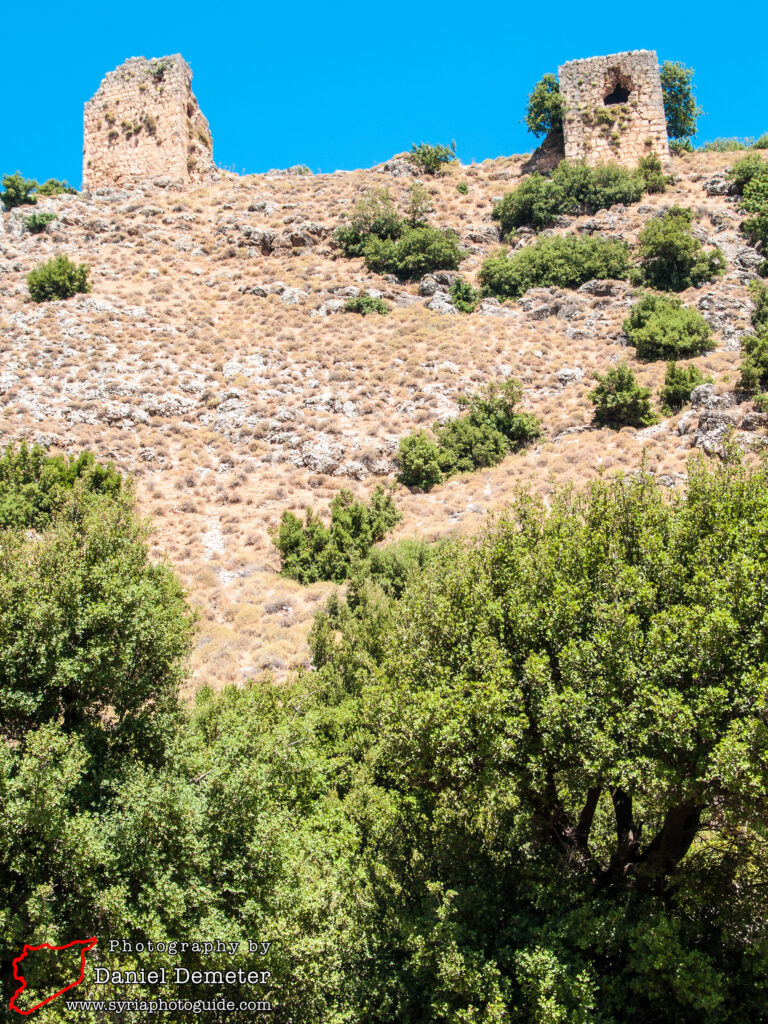
One of the most dramatically situated castles in the whole of Syria, the Crusader castle of Qalaat Mirza (قلعة ميرزا) – sometimes referred to as Qalaat Barziyeh (قلعة برزية) – is well worth a detour for those who have a passion for fortifications. Located in the far northwest of the Hama Region (ريف حماة) on a rocky crag on the steep side of Jebel Ansariyeh, the castle is described by Deschamps as resembling “the prow of a fantastic ship launched for an assault on the clouds”. The experience is only improved by the relief of arriving after a vigorous and precipitous scramble up the rocky slope. Once you reach it, the scattered remains spread over grassy meadows afford breathtaking views of the mountains and the Orontes Plain 500 meters below, with only the tinkling of goat bells to disturb the peace.
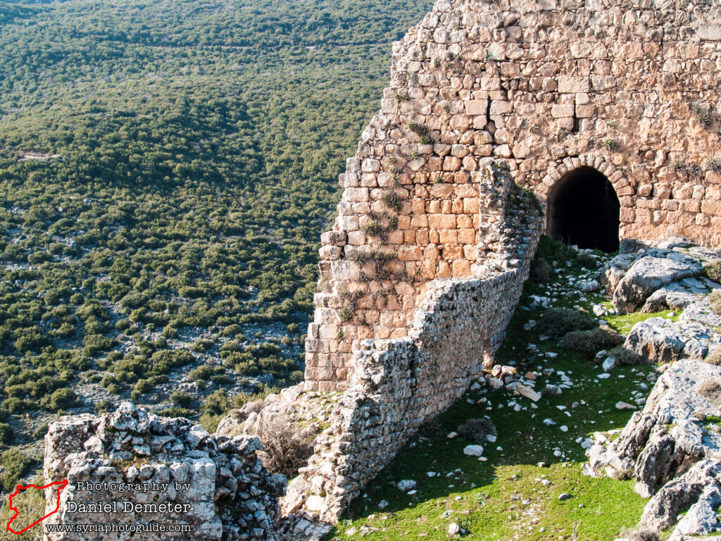
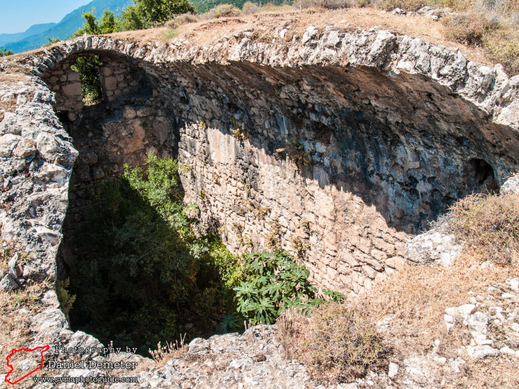
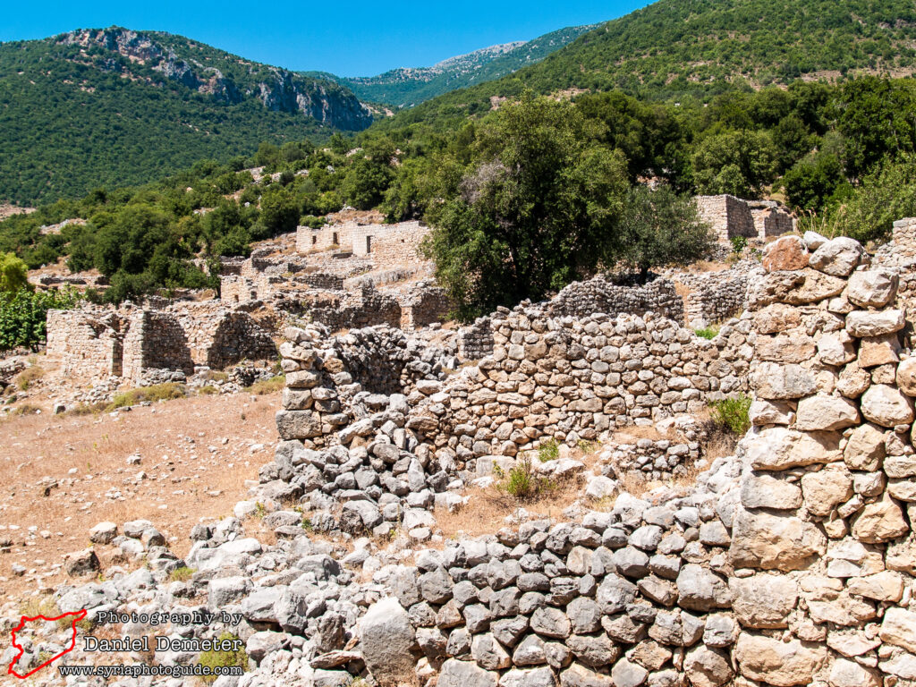
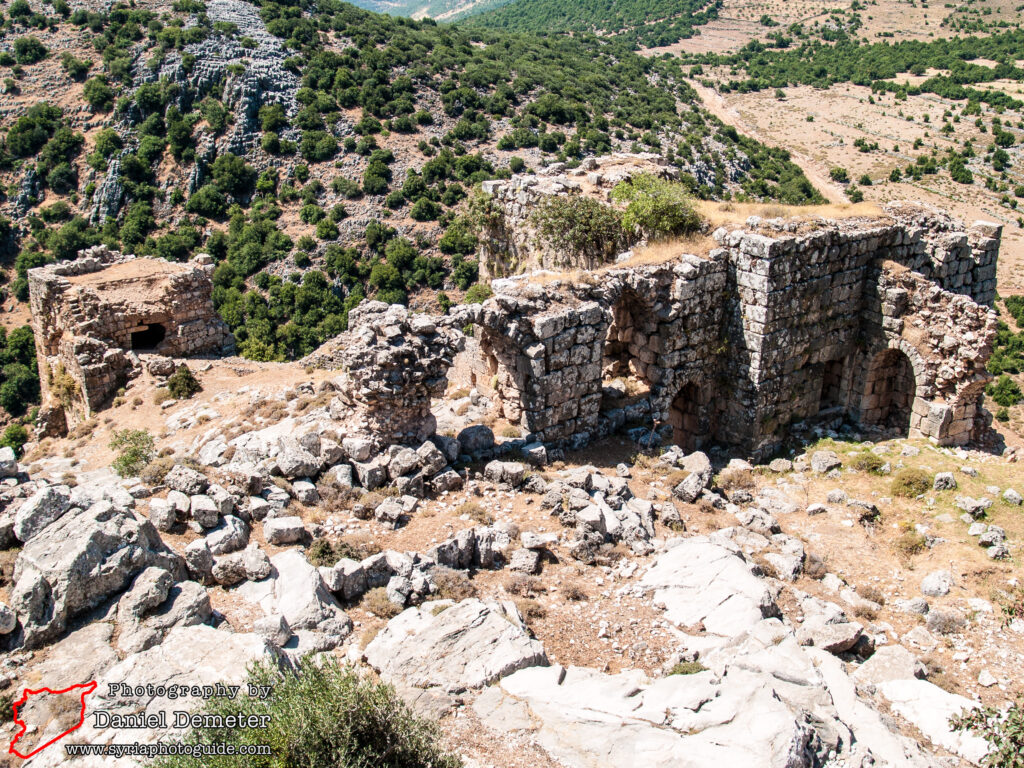
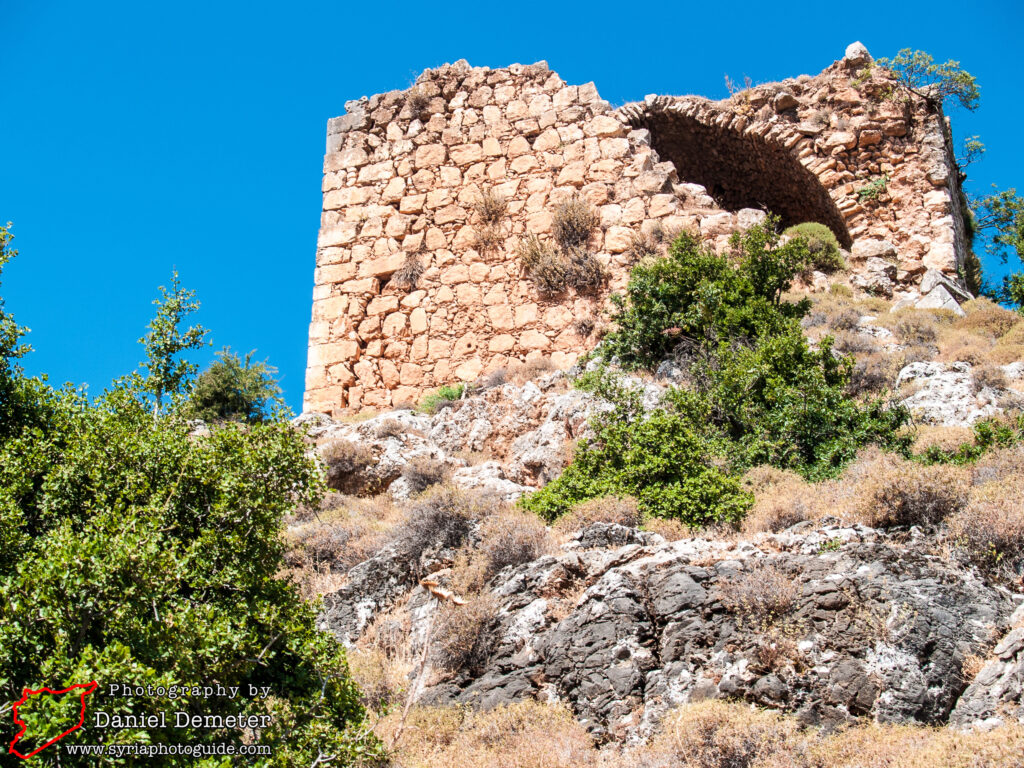
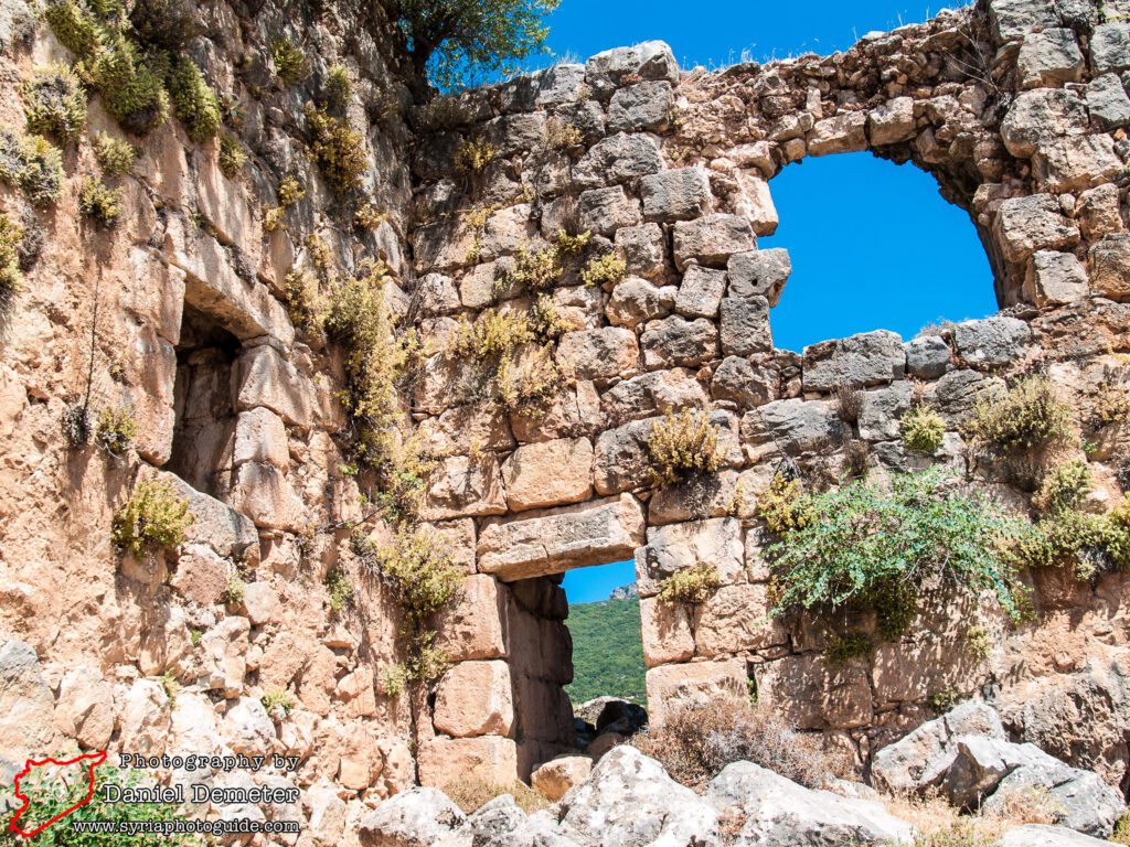
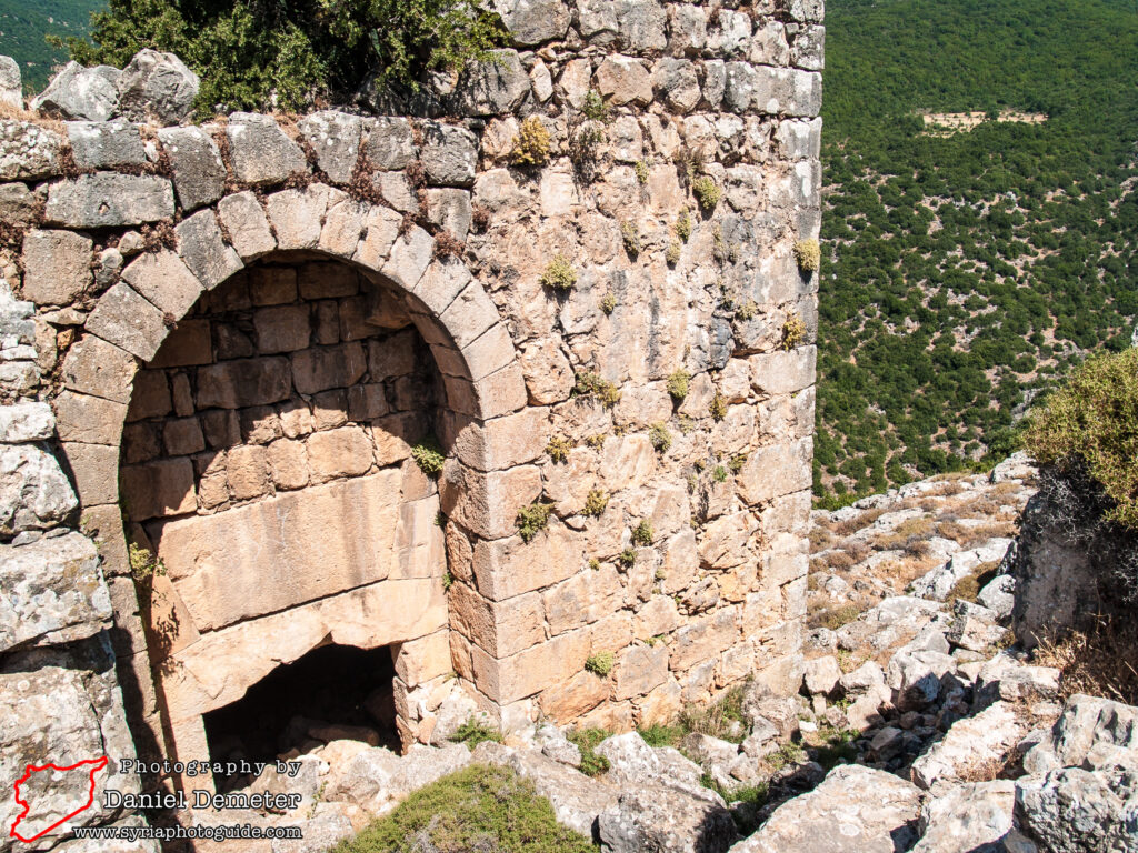
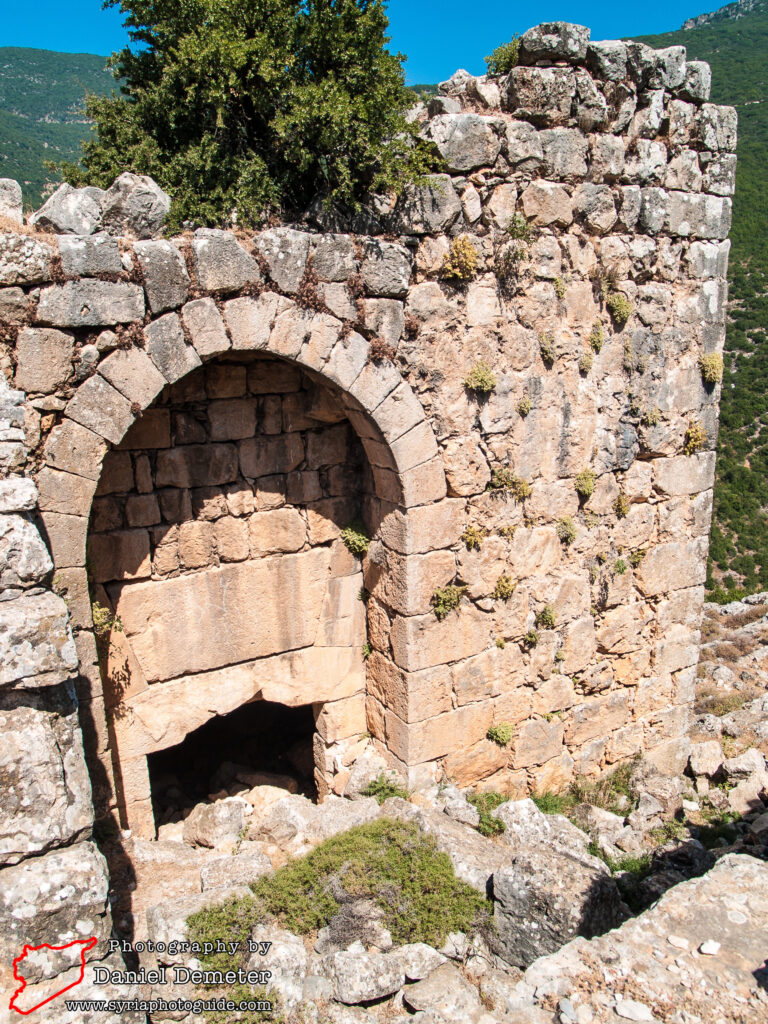
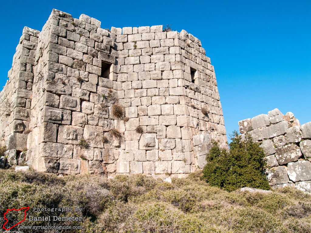
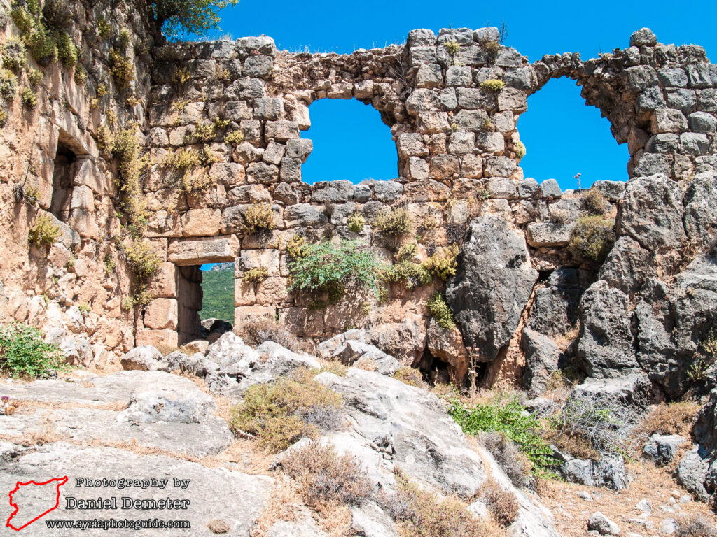
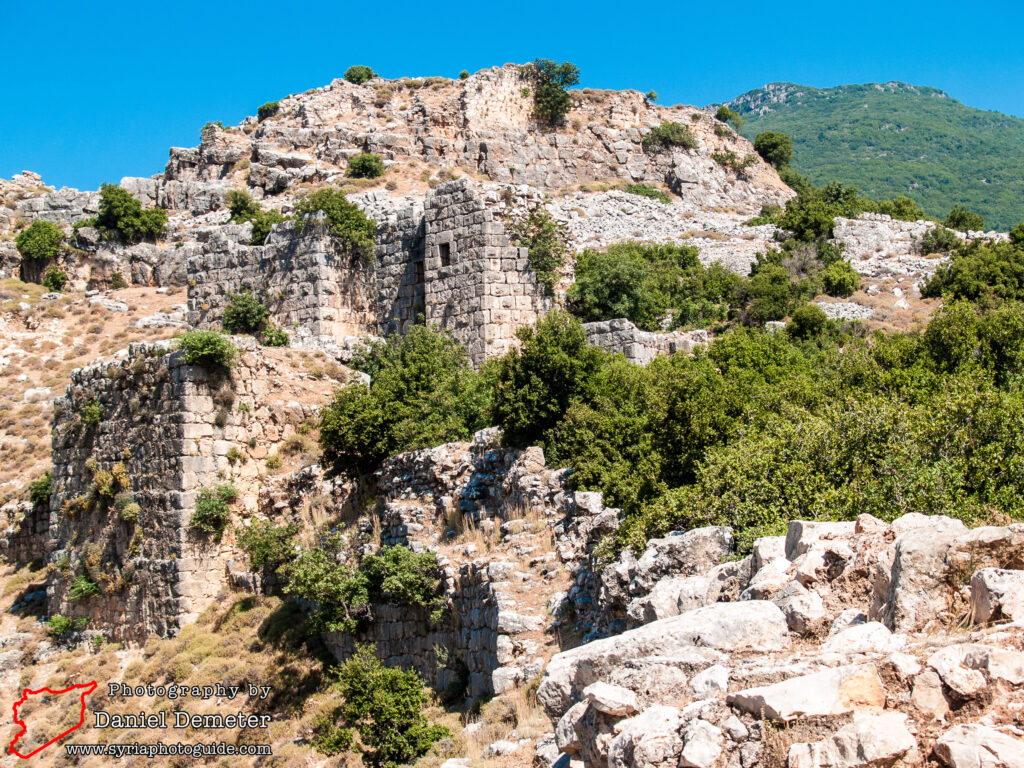
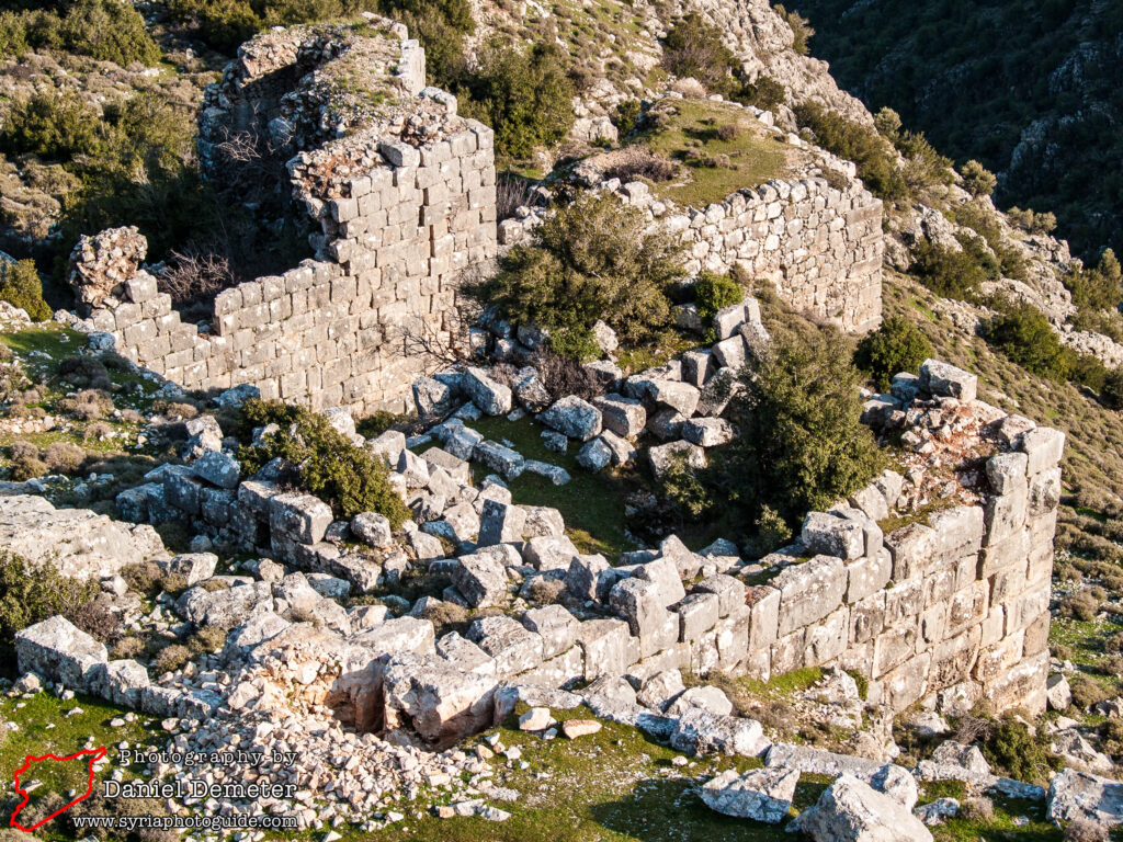
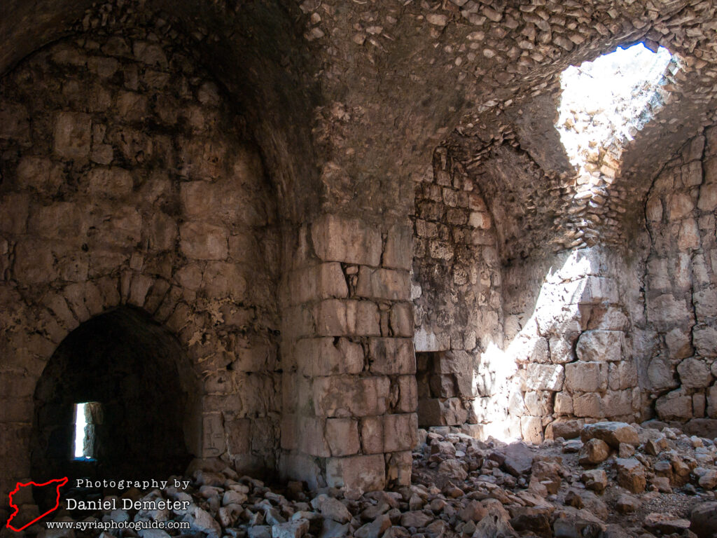
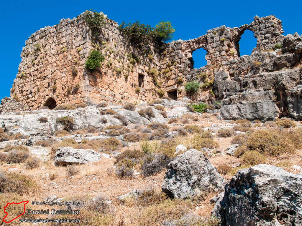
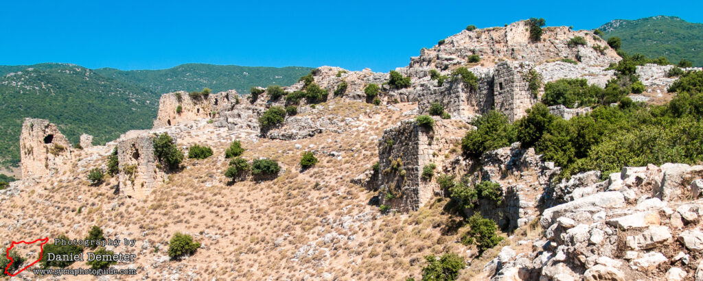
What remains of the castle is minimal. Clearly it was once a sizable complex; surprisingly so given its remoteness from the main Crusader centers on the coast. It served as the forward defense post, confronting Arab held positions on the eastern side of the valley, such as Qalaat al-Madiq (قلعة المضيق) thirty five kilometers to the southeast, and marking an easternmost line of control held by the Crusaders on a consistent basis along the Orontes Valley.
References to the site as Lysias are found in Strabo’s Geography. It presumably played a role for the Seleucids in protecting their communications between Lattakia (اللاذقية) – then Laodicea – and their military base at Apamea/Afamia (آفاميا). Pompey at the beginning of his campaign (65-64 BC), which resulted in the Roman occupation of Syria, had to dislodge a Jewish partisan (Silas) from the site. The Byzantines fortified it and as late as 975 it was retaken by the Emperor Tzimisces from the Hamdanids of Aleppo (حلب). It was probably taken by the Crusaders in 1103; five years after they had seized Antioch and shortly before the taking of Lattakia (اللاذقية) by Tancred.
The castle whose ruins you see today dates from the 12th century and, like Qalaat Salah al-Din (قلعة صلاح الدين), marks the first phase of Crusader building in the area. On August 23rd, 1188 it was taken by Salah al-Din during the whirlwind campaign in which he swept up the coast, besieging Tartus (طرطوس), and took the forts at Safita (صافيتا), Jableh (جبلة), Lattakia (اللاذقية), Qalaat Salah al-Din (قلعة صلاح الدين), Qalaat al-Mahalbeh (قلعة المهالبة), and Qalaat al-Shaghur/Bakas (قلعة الشغور/بكاس) in July through September 1188.
Though Qalaat Mirza (قلعة ميرزا) had the reputation of being impregnable as no engines of war could be brought near its walls, Salah al-Din struck from the west ridge. His engines indeed having failed to get close enough to make any impression on the walls, Salah al-Din resorted to successive charges by three waves of troops against the western wall, thus wearing down the thin ranks of the defenders and apparently making good use of intelligence from the commander’s wife transmitted to her sister, Sybilla, third wife of Bohemond III (Sybilla was an agent in the pay of Salah al-Din). The garrison surrendered under the pressure of Salah al-Din’s human wave tactics.
While Salah al-Din’s rather hit and run strategy did not permanently dislodge the Crusaders from their main defenses on the coast, it certainly hemmed in their territory for the second century of their presence and inland sites such as Qalaat Mirza (قلعة ميرزا) played no continuing role in the Frankish defenses.
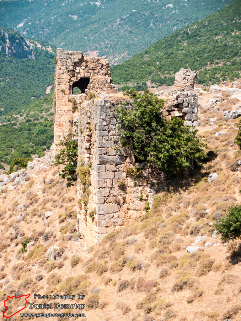
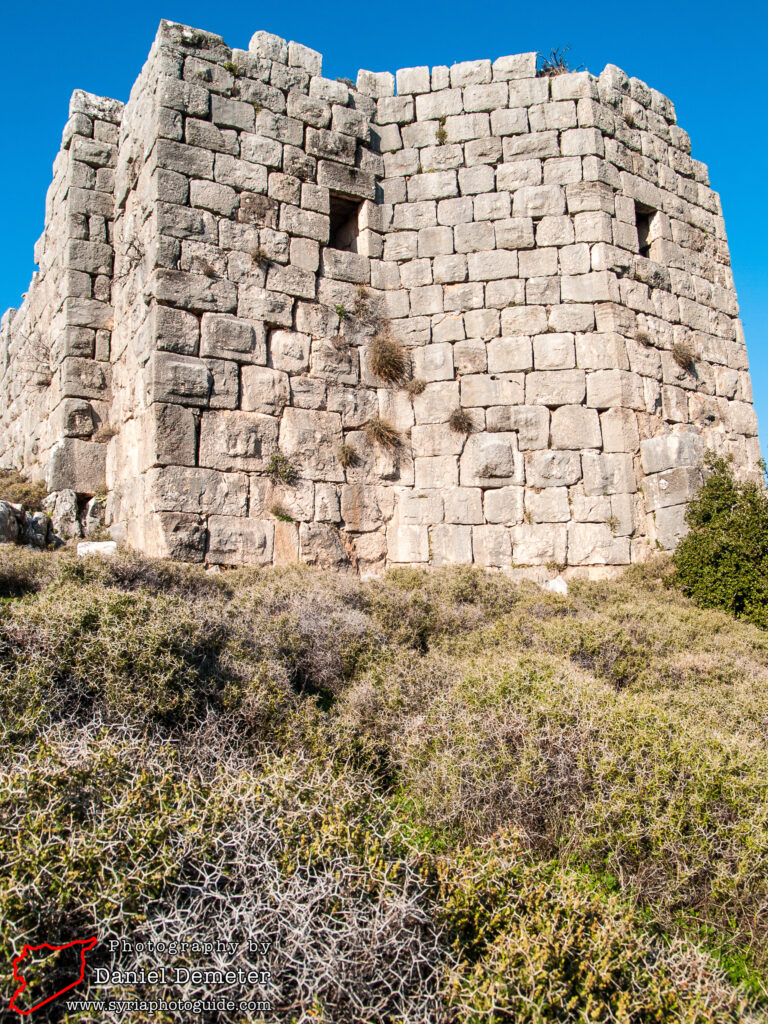
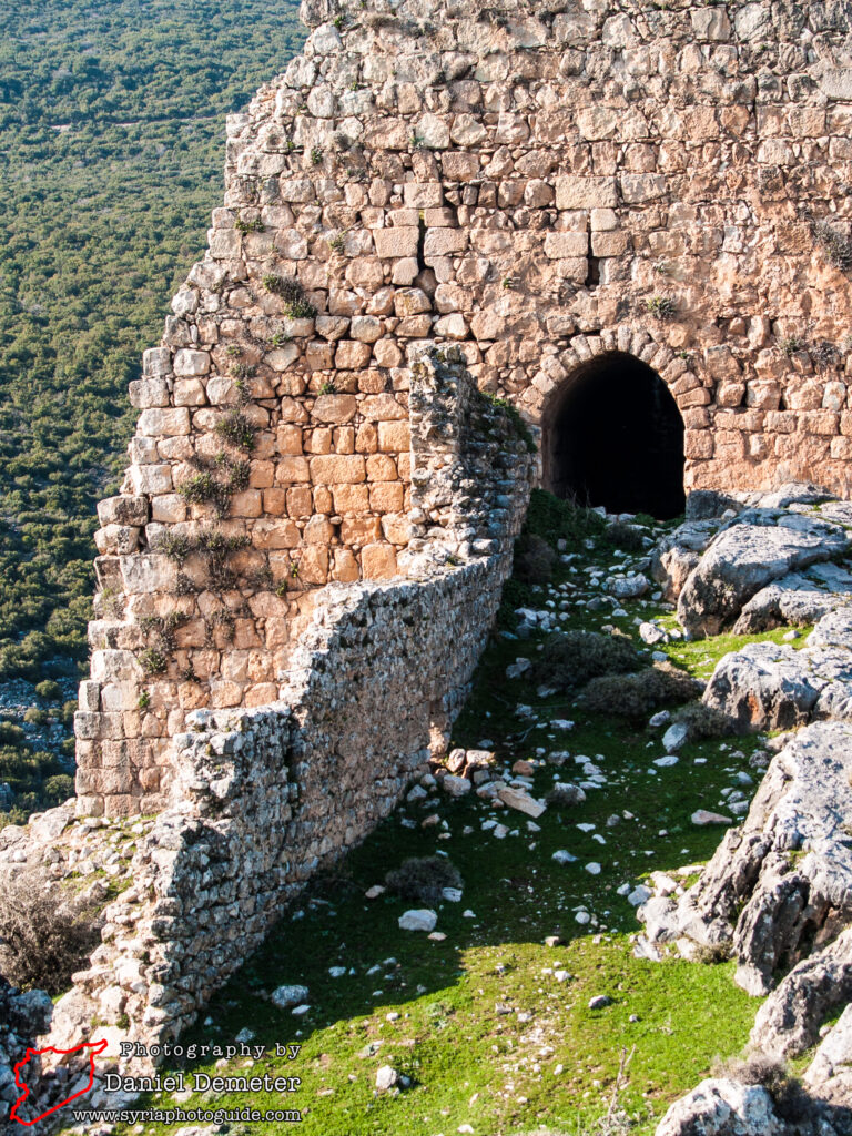
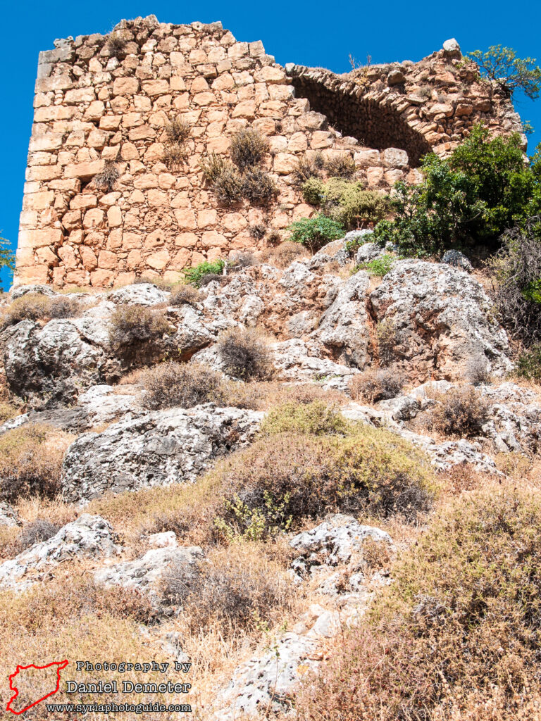
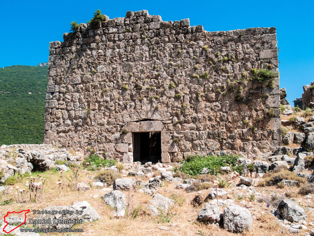
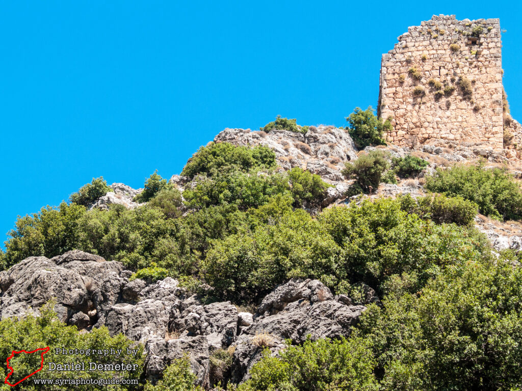
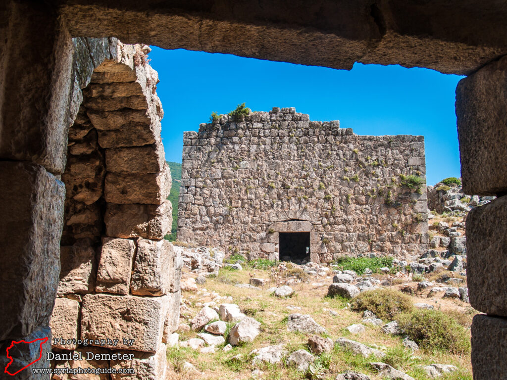
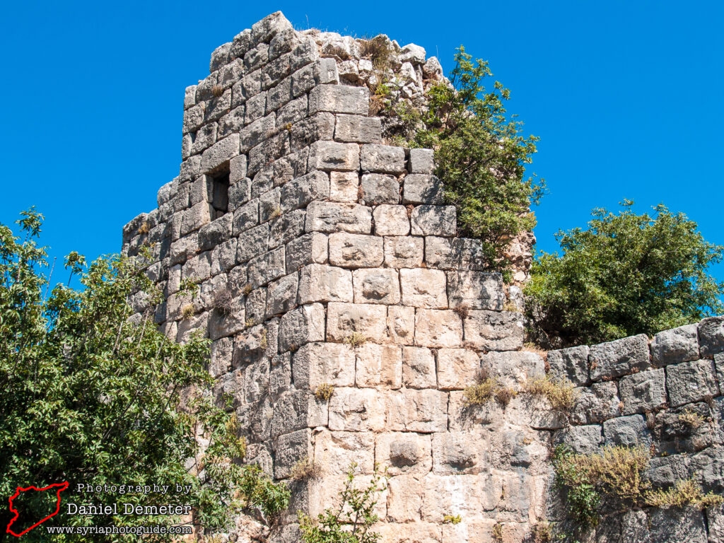
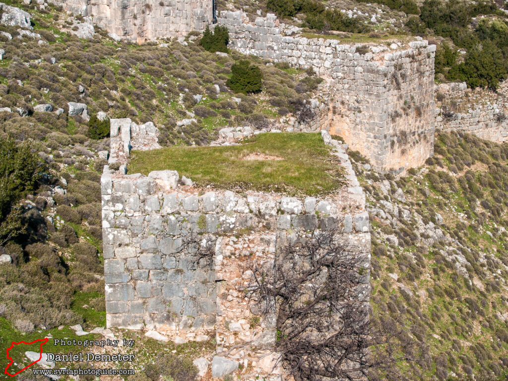
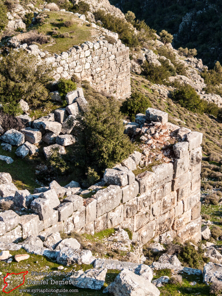
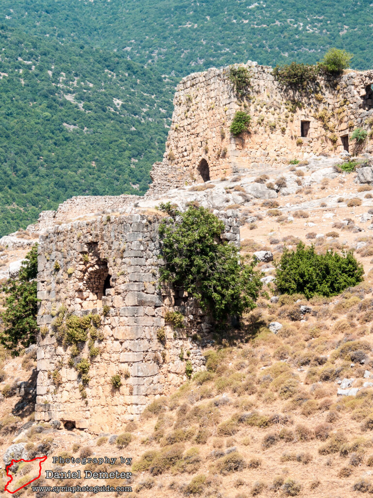
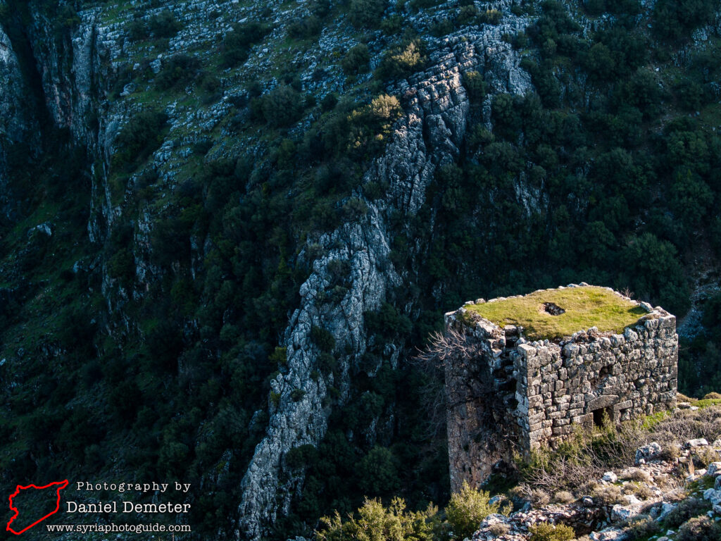
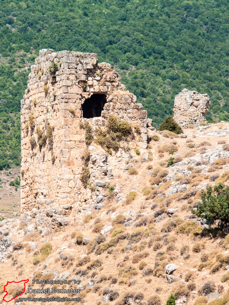
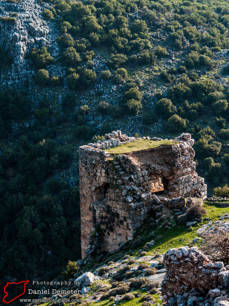
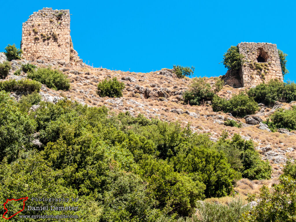
If you arrive by the ascent from the valley, you will reach the fortified area on its eastern side. Your scramble should bring you out at the watchtower which marks the eastern extension of the outer enclosure. This is probably an Arab reconstruction of an earlier tower. From here, work your way around to the south (left) which should bring you into the area between two levels of fortifications. On the way you may notice the remains of a relatively large (22 meters by 17 meters) building whose purpose is not entirely clear but may have been the castle chapel.
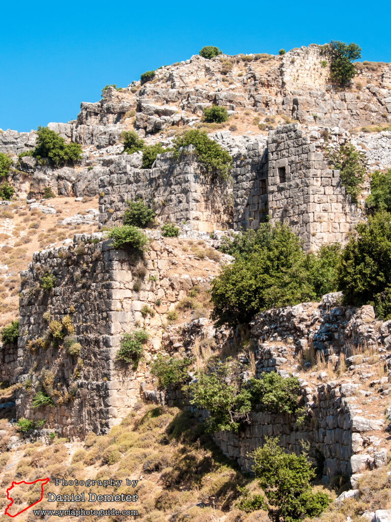
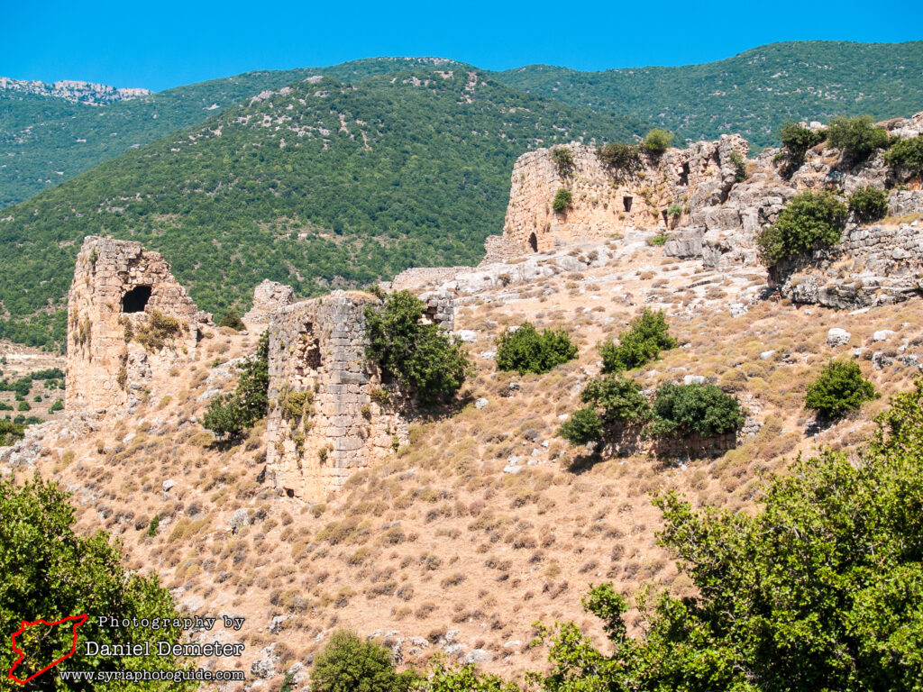
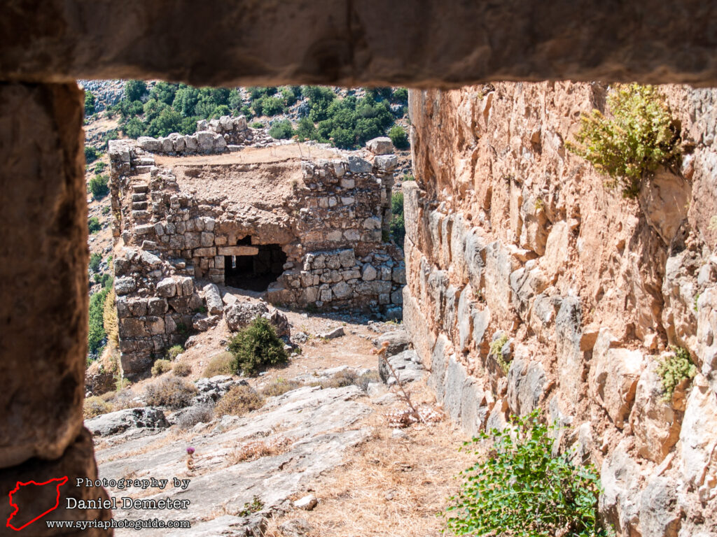
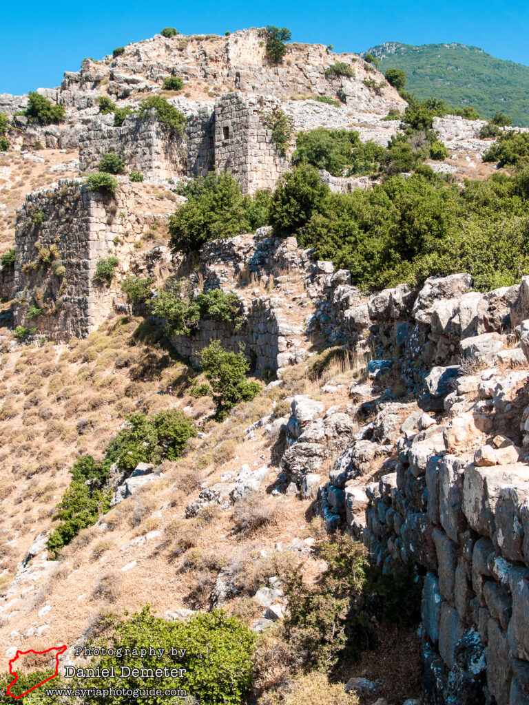
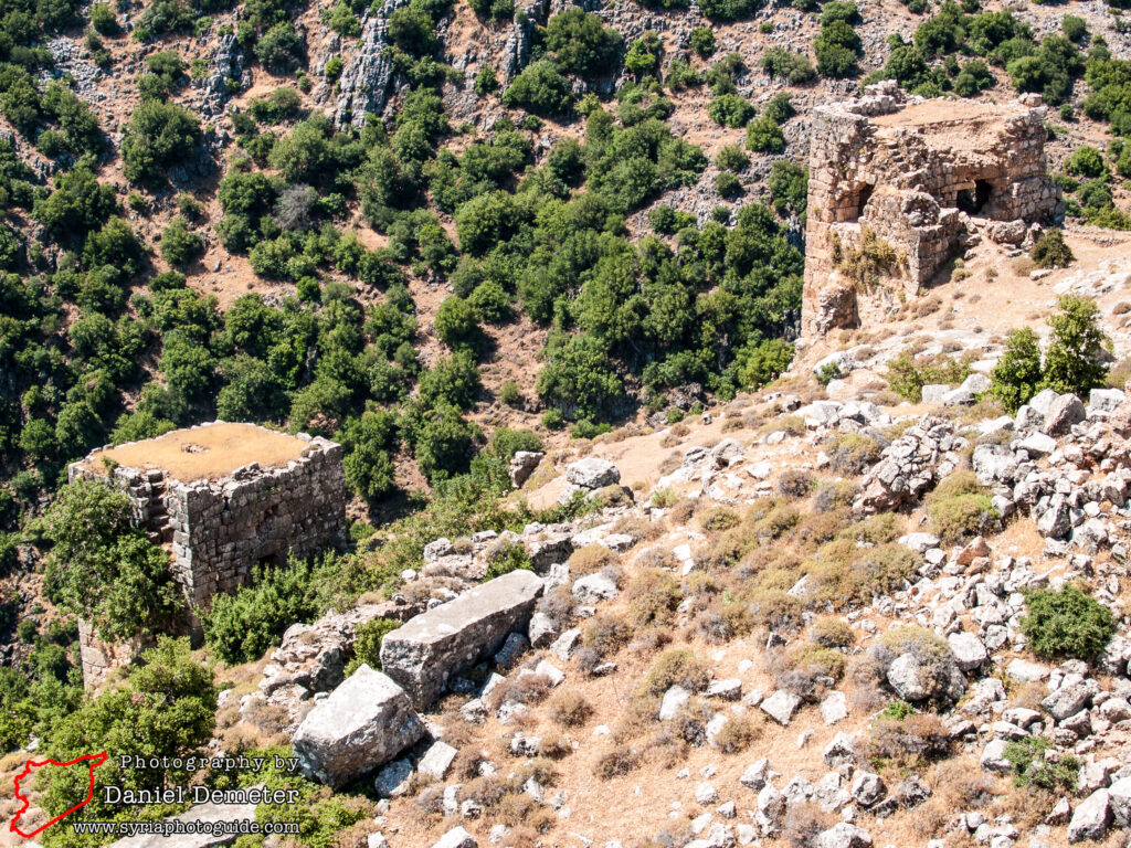
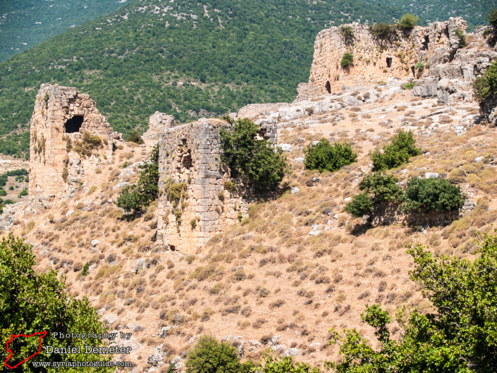
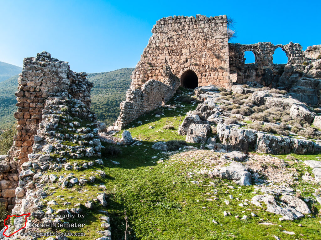
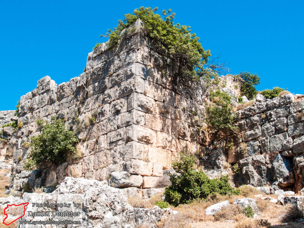
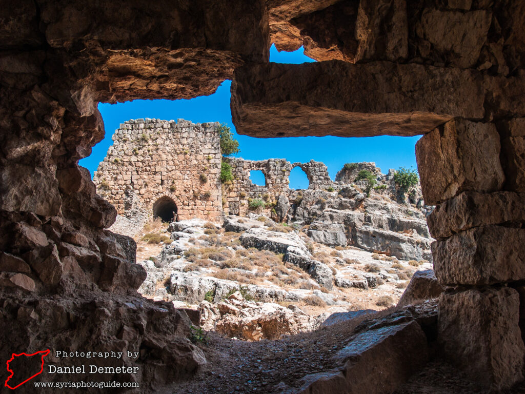
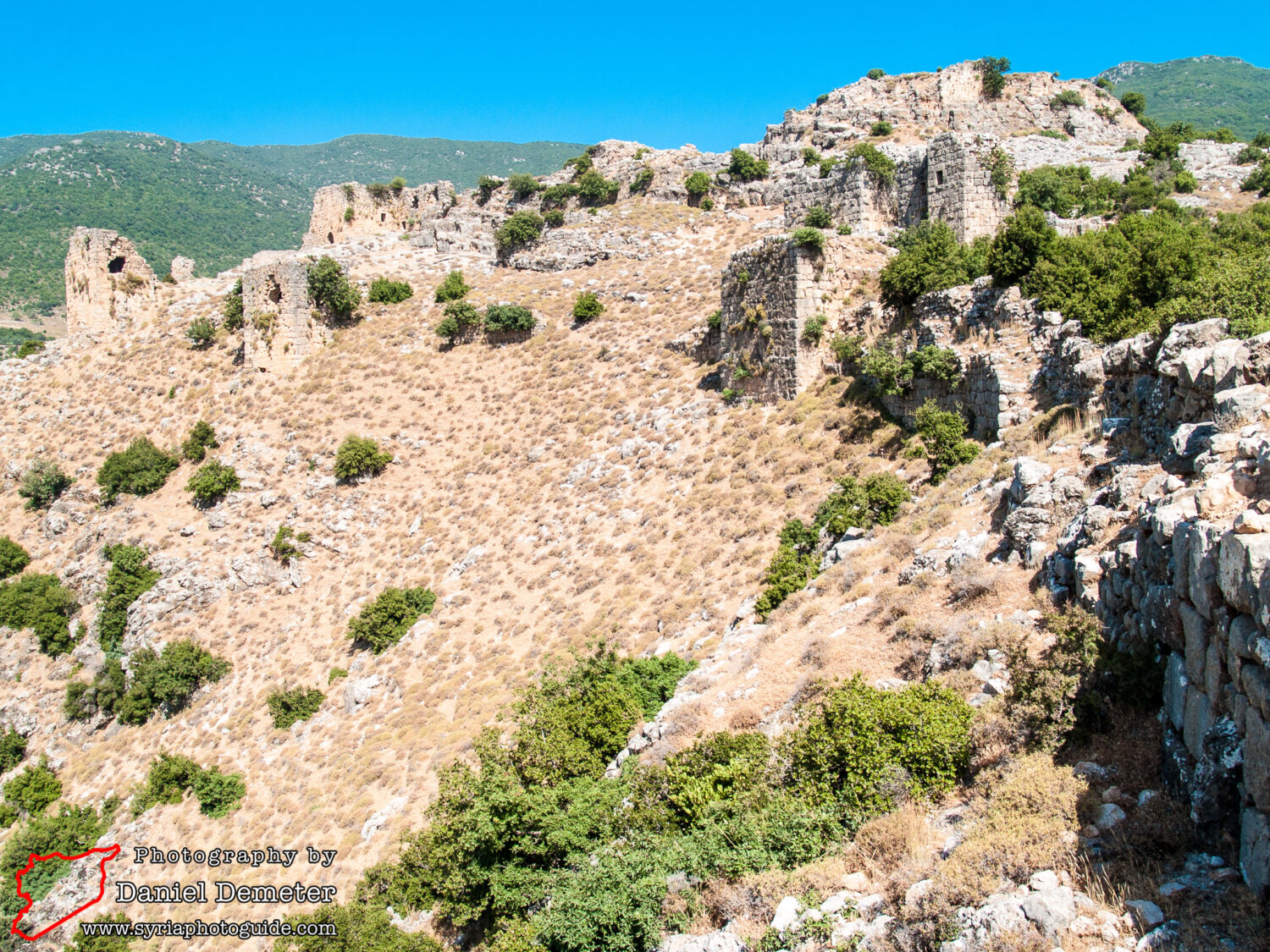
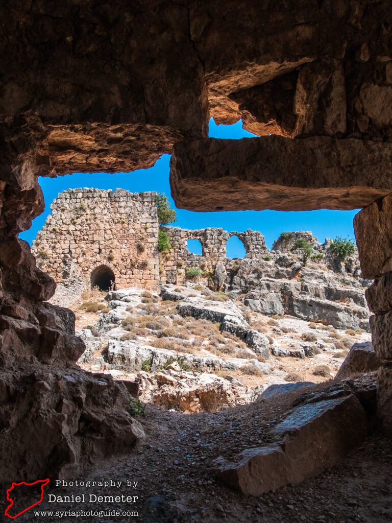
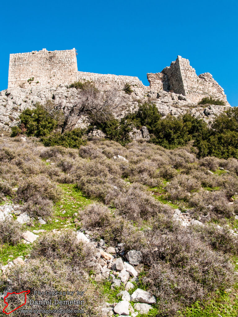
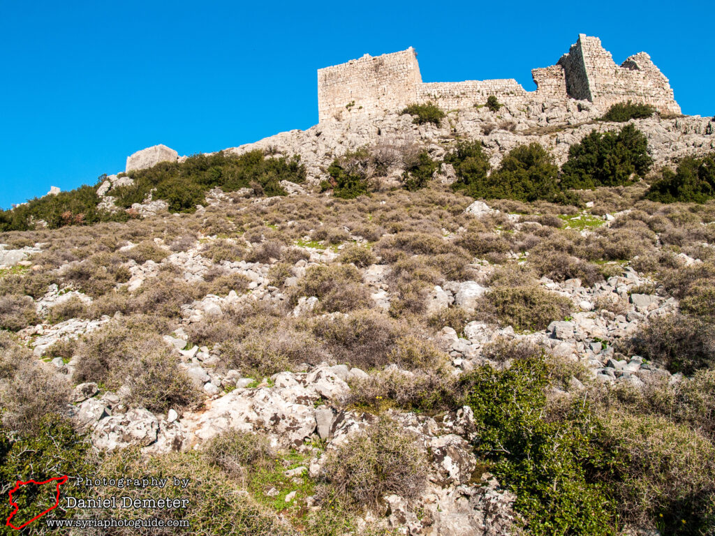
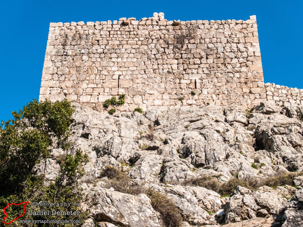
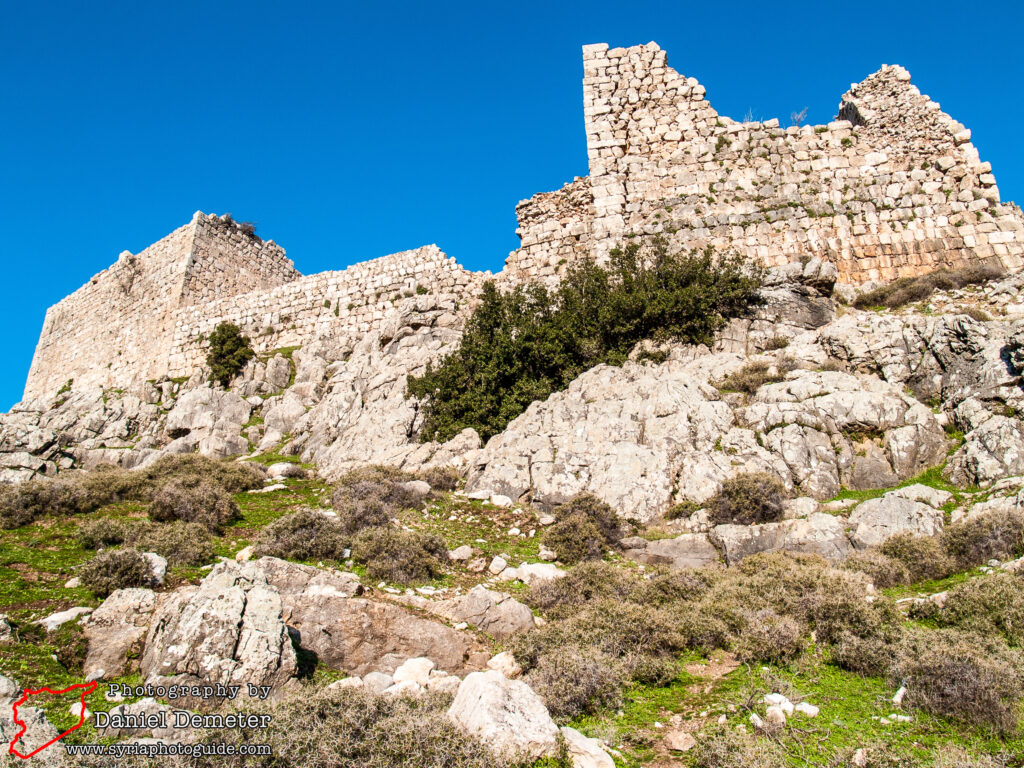
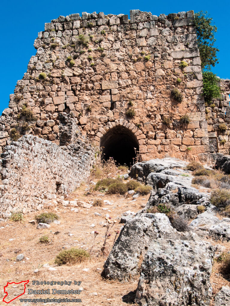
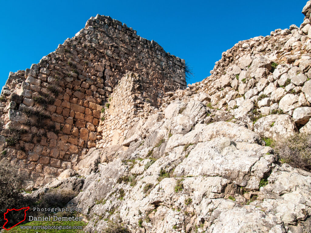
You are now within the court that lies between two lines of walls on the south face. The fortifications follow a rather random plan resulting from the irregular shape and levels of the crest. The land falls away steeply on most sides but its slope is relatively gradual on the south and west where the main defenses are concentrated. The outer walls on the vulnerable aspect of the south face were ranged on two levels with a gateway on the westernmost corner giving entry to the inner enclosure. The lower wall consists of four towers with a joining curtain wall.
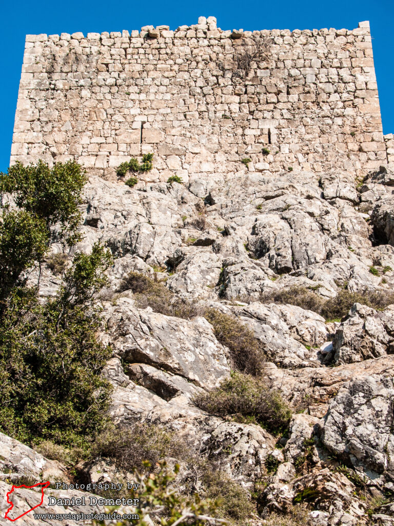
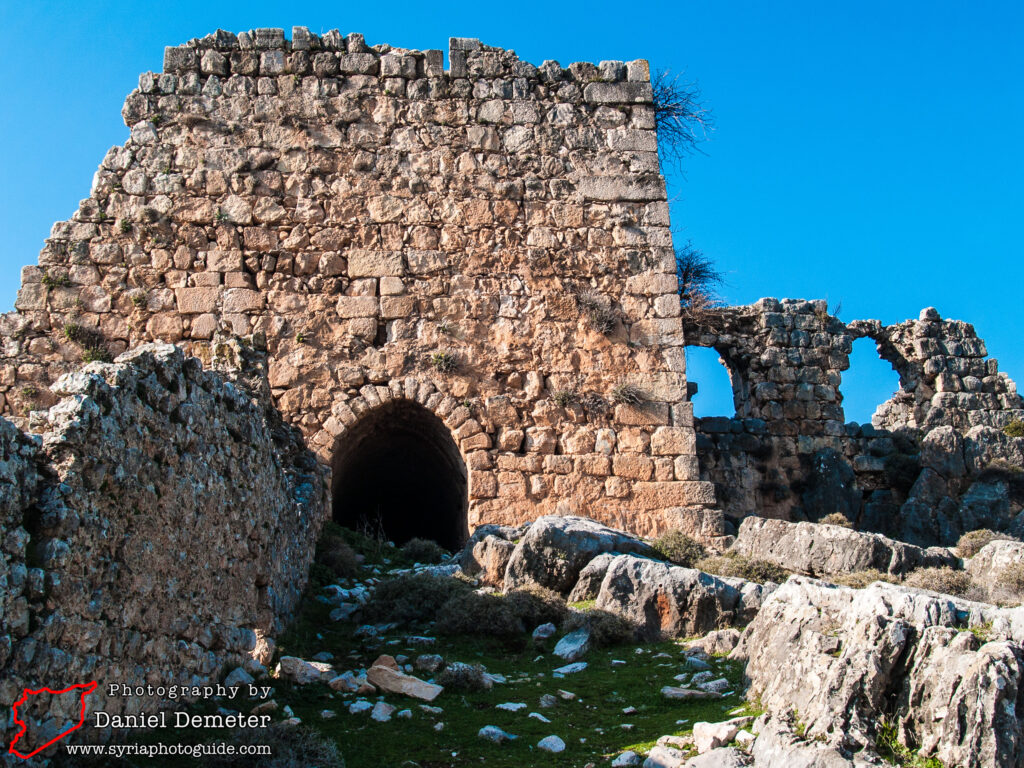
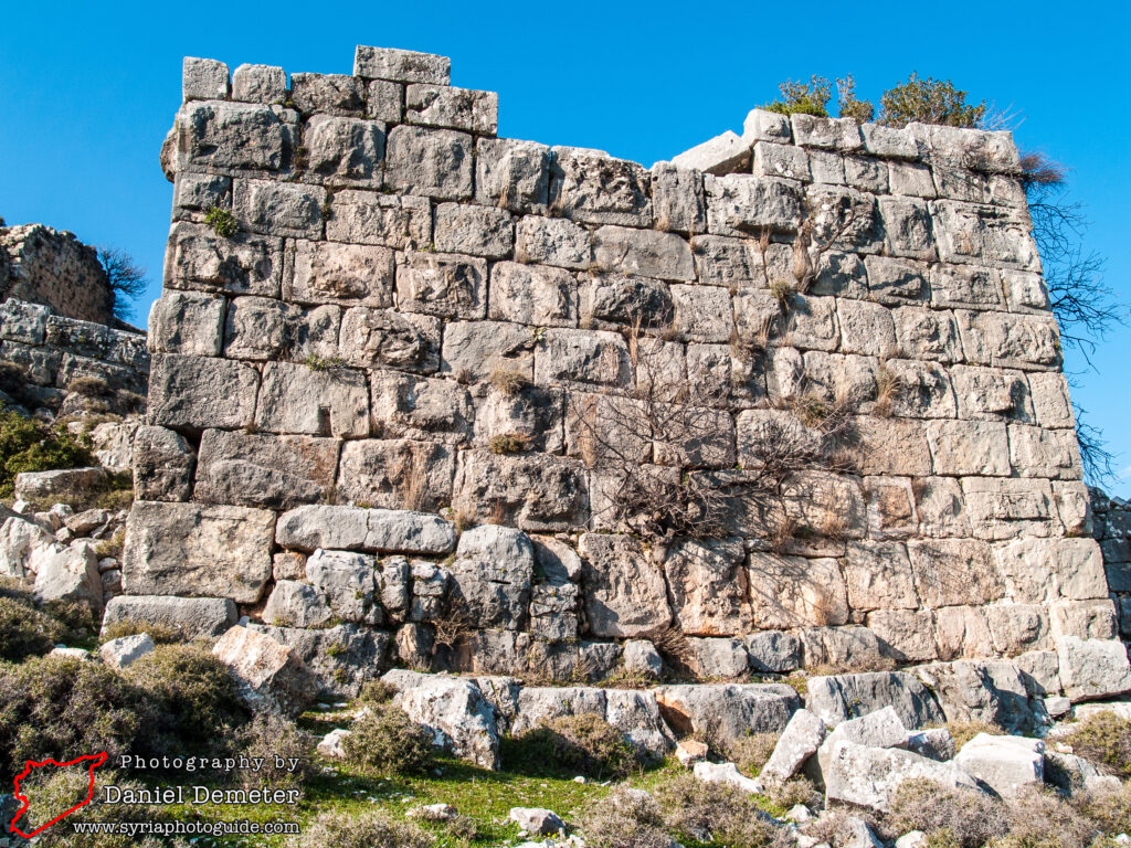
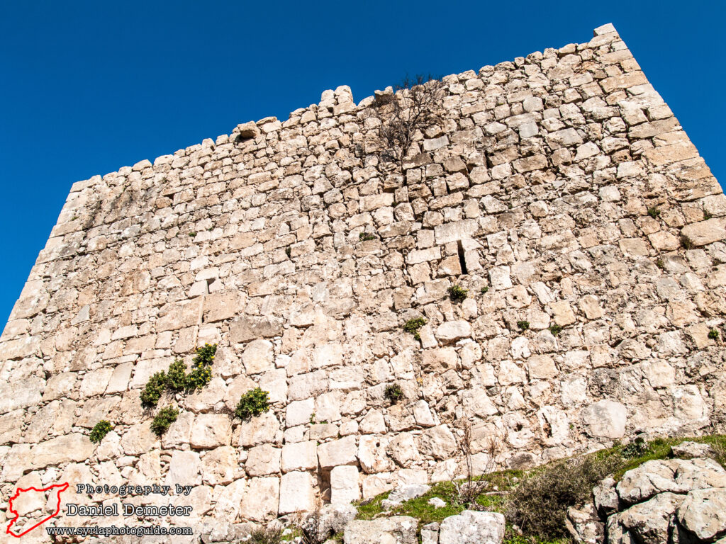
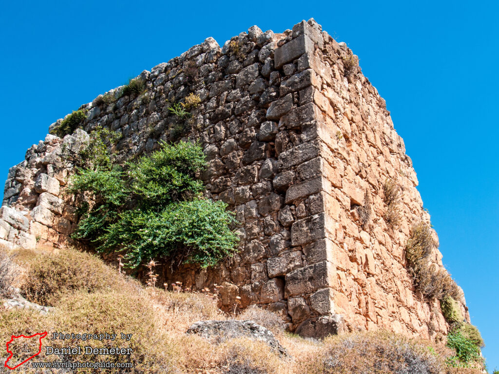
The main keep was located on the west side and is recognizable today. Also Arab in its present form, it consists of a rectangular base with square towers on the corners. To the west of the keep, the castle was most exposed to relatively level ground and was thus protected by five towers and a curtain wall partly faced with a talus. The main entry to the castle was through the central tower on the west side.
Getting There: Microbuses to Qalaat Mirza (قلعة ميرزا) travel from Jisr al-Shaghur (جسر الشغور), the largest town in the area. Jisr al-Shaghur (جسر الشغور) has frequent microbus connections with Lattakia (اللاذقية) and Aleppo (حلب), and less frequent connections with Hama (حماة) via al-Suqeilbiyeh (الصفيلبية). Once in Jisr al-Shaghur (جسر الشغور), look for any microbus traveling to the village of Jourein (جورين), which depart from the street two blocks west and two blocks north of the main microbus station. The microbus to Jourein (جورين) will pass within a short distance of the castle, visible to the west, leaving about a kilometer to hike on foot.
Coordinates: 35°39’28.53″N / 36°15’40.65″E
Transliteration Variants: Qalaat Marza, Qalaat Mirzah, Qalaat Mirzeh, Qalaat Marzah, Qalaat Marzah, Qalaat Barzeh, Qalaat Barzei, Qalaat Barzai, Qalaat Barzey, Qalaat Barzay, Qalaat Barzah, Qalaat Berzeh, Qalaat Berzei, Qalaat Berzai, Qalaat Berzey, Qalaat Berzay, Qalaat Berzah, Qalaat Burzeh, Qalaat Burzei, Qalaat Burzai, Qalaat Burzey, Qalaat Burzay, Qalaat Burzah
Rating: 6.5 / 10
