Meskaneh مسكنة
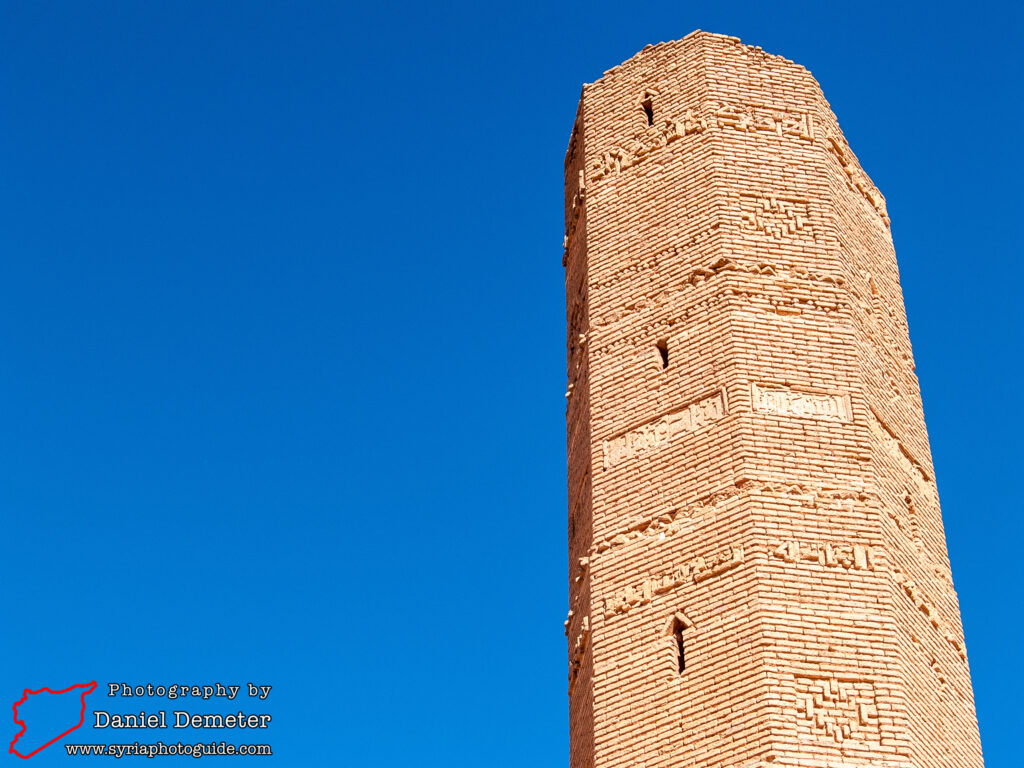
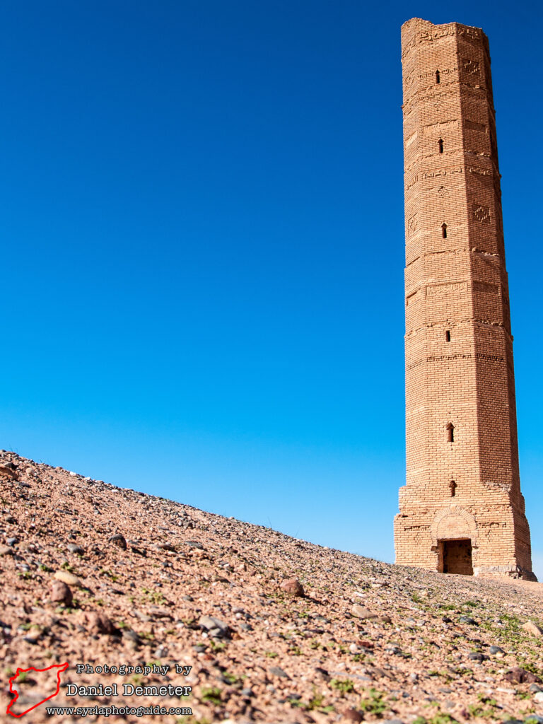
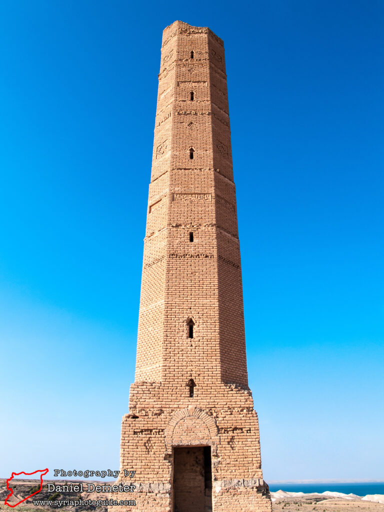
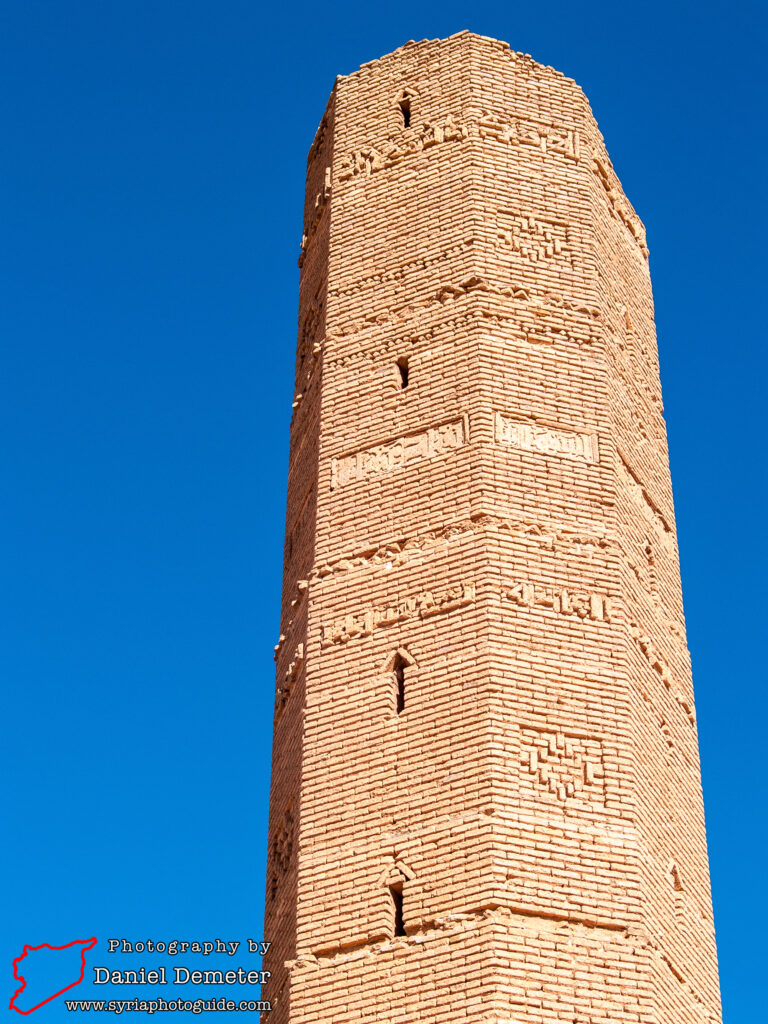
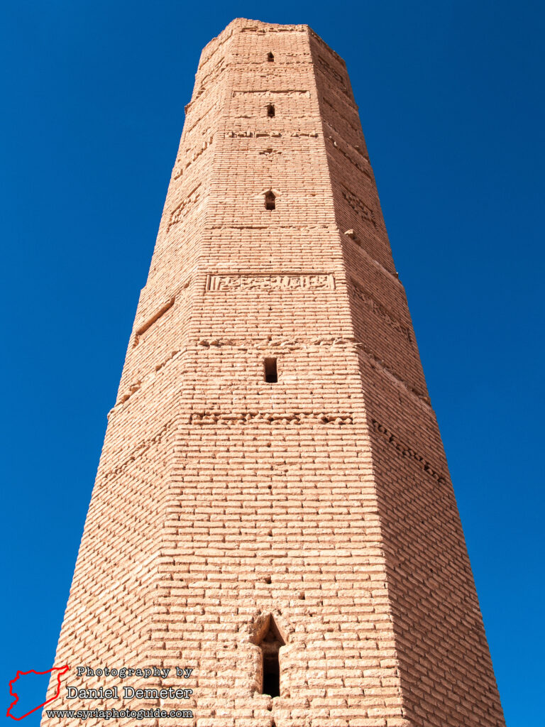
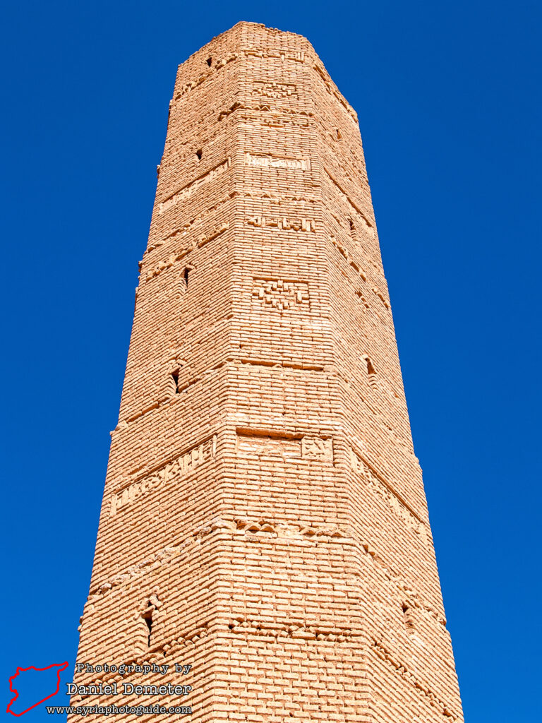
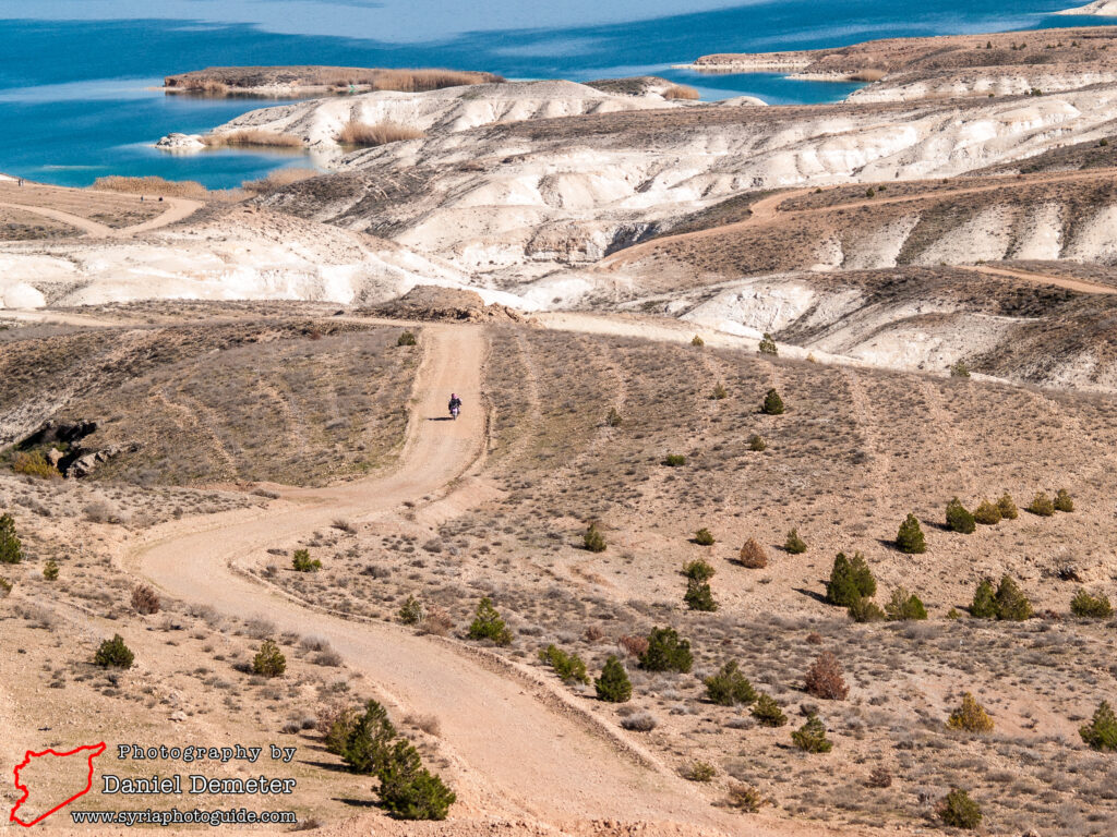
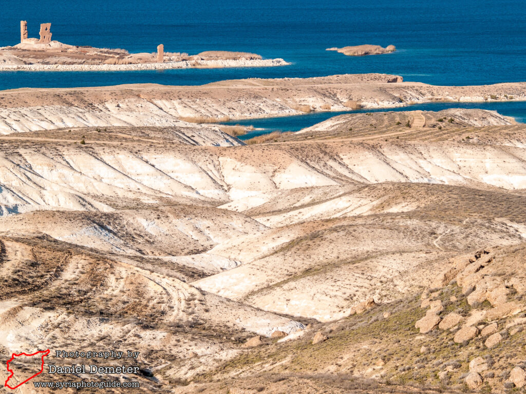
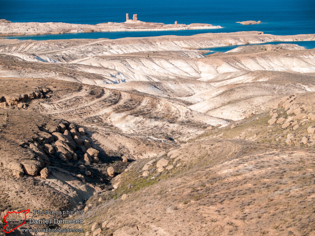
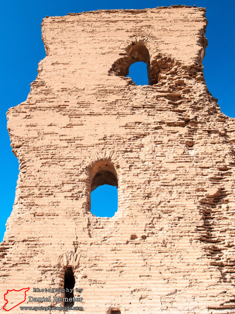
Just outside the modern town of Meskaneh (مسكنة), on the shore of Lake Assad, are the remnants of the Bronze Age city of Emar and the subsequent Greek, Roman, Byzantine, and Arab settlements that occupied the site. Surviving remains include Byzantine fortifications and a 13th century brick minaret that offers commanding views over the area.
The ancient settlement of Emar was mentioned in the tablets unearthed in Ebla (ايبلا) and Mari (ماري), as well as in Babylonian archives. It was once an important crossing and transit point on the Euphrates, where caravan traffic on the Mediterranean – Mesopotamian route transferred from land to river transport.
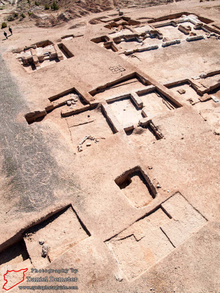
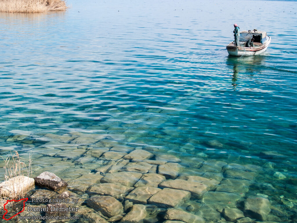
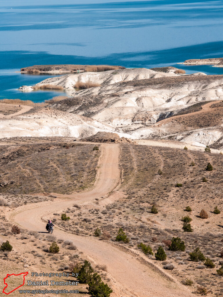
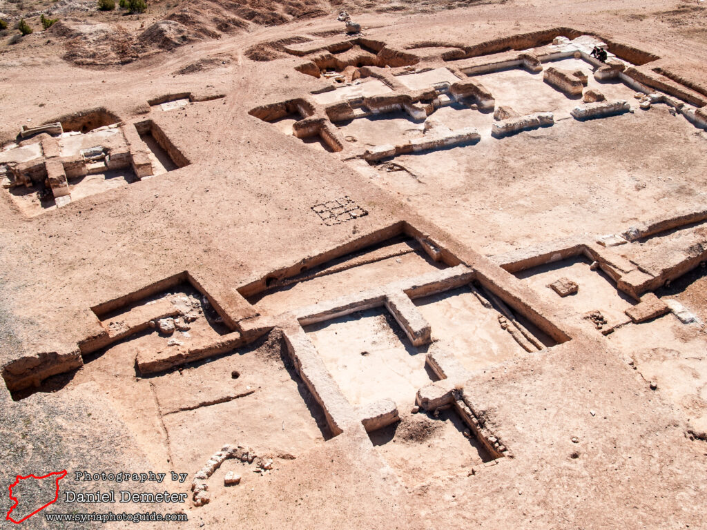
While originally situated on a plateau overlooking the Euphrates river valley, the construction of the al-Tabqa dam has raised the water level, submerging portions of the site. Emergency excavations between 1973 and 1976 uncovered three temples and a palace, including an archive of over 300 tablets in Akkadian and Hittite. The Hittites had conquered Emar during the late Bronze Age, a period when they dominated much of northern Syria. Emar was destroyed and abandoned around 1175 BCE.
The site was resettled during Seleucid times (third to first centuries BCE), and was fortified under the Romans. The defenses that survive today largely date from the Byzantine period, when the settlement known as Barbalissos. Emperor Justinian was responsible for the construction of these fortifications, part a wider building program that reinforced Byzantine defensive points against the Persians to the east. Similar construction took place at nearby settlements – such as al-Rasafeh (الرصافة) and Halabiyeh (حلبية) – during the same period.
While successful in warding off Persian invaders, the Byzantine fortifications failed to counter advancing Arab Muslim armies, and Barbalissos fell in the following century. It was briefly contested during the Crusader period, captured and held by the Crusaders around 1100 as they advanced into northern Syria from Edessa. It returned to Arab control shortly thereafter, but the Mongol invasions of the 13th and 14th centuries resulted in the settlement being abandoned once again.
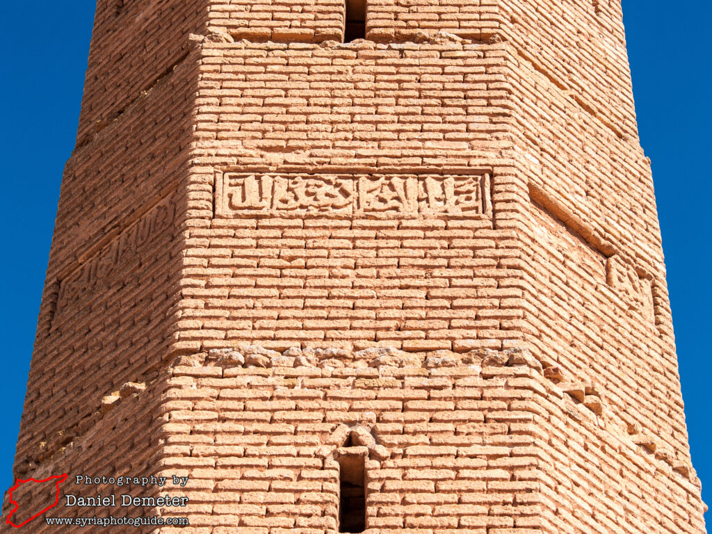
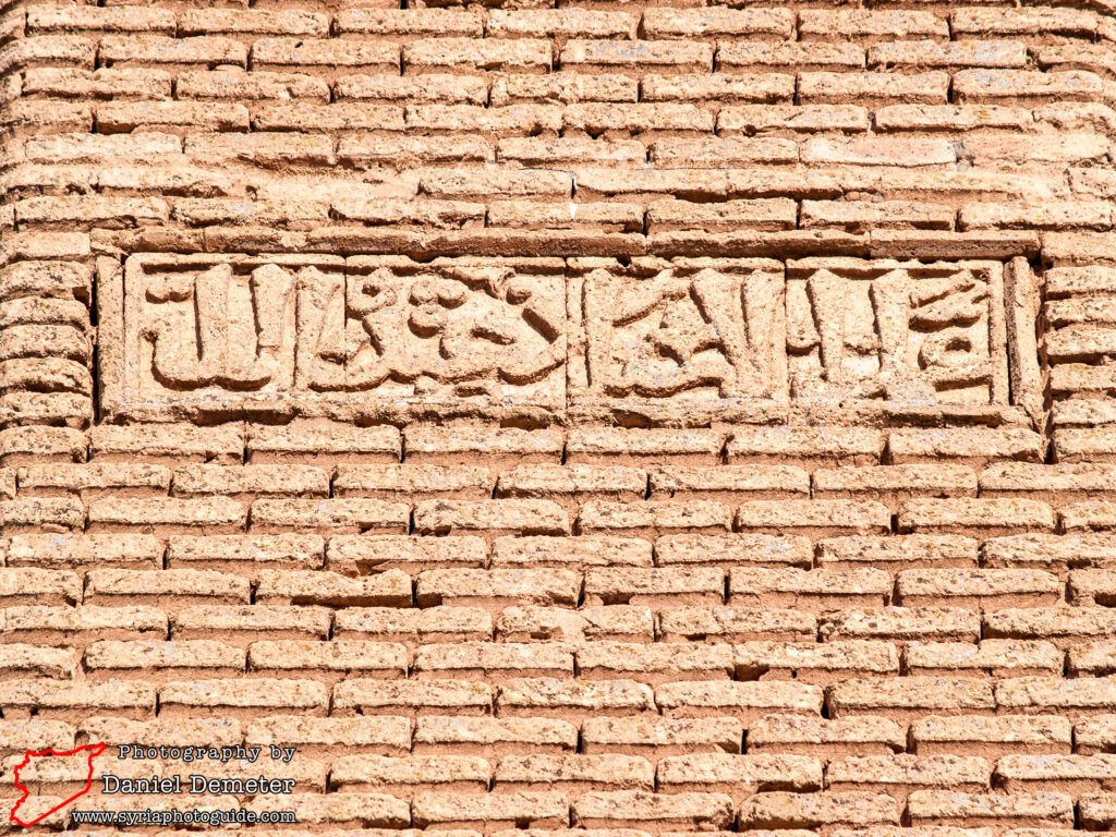
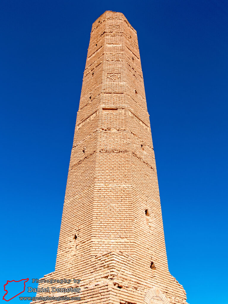
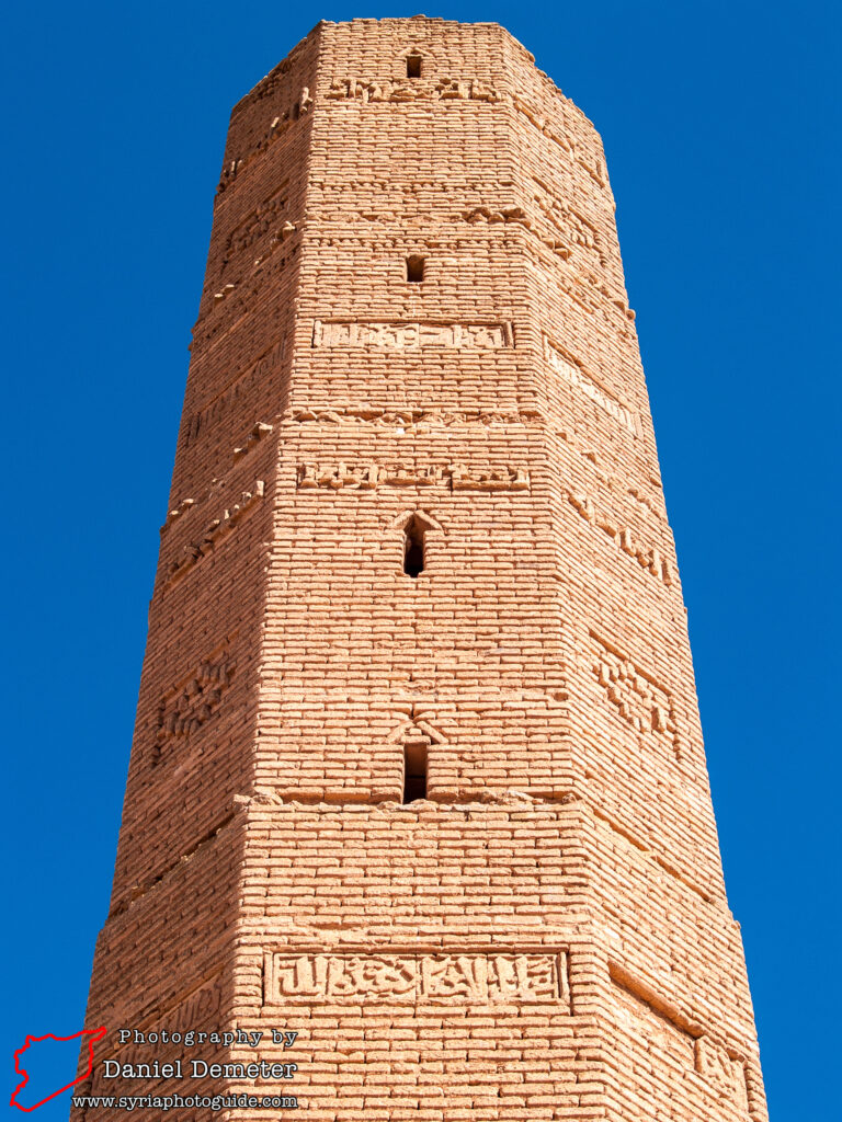
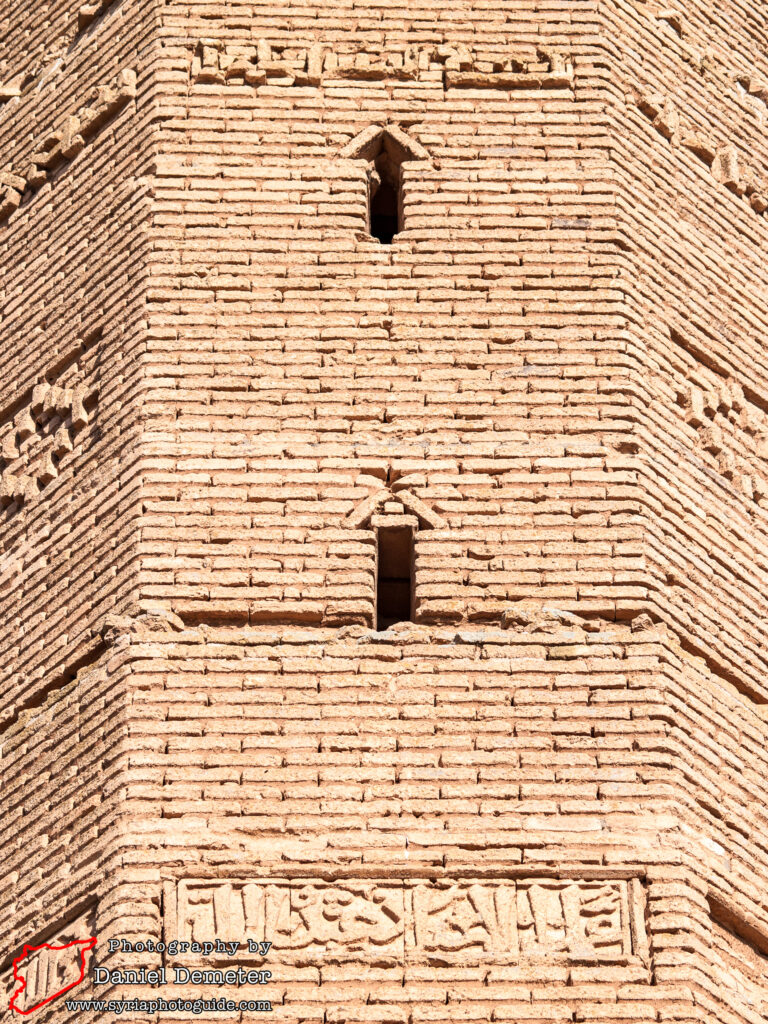
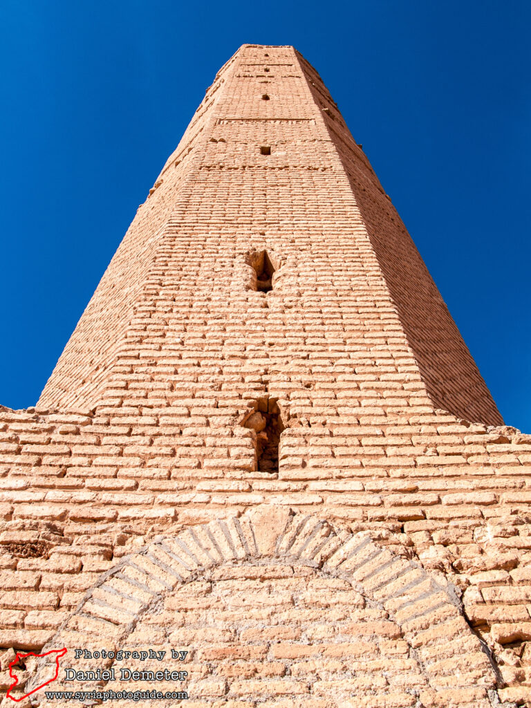
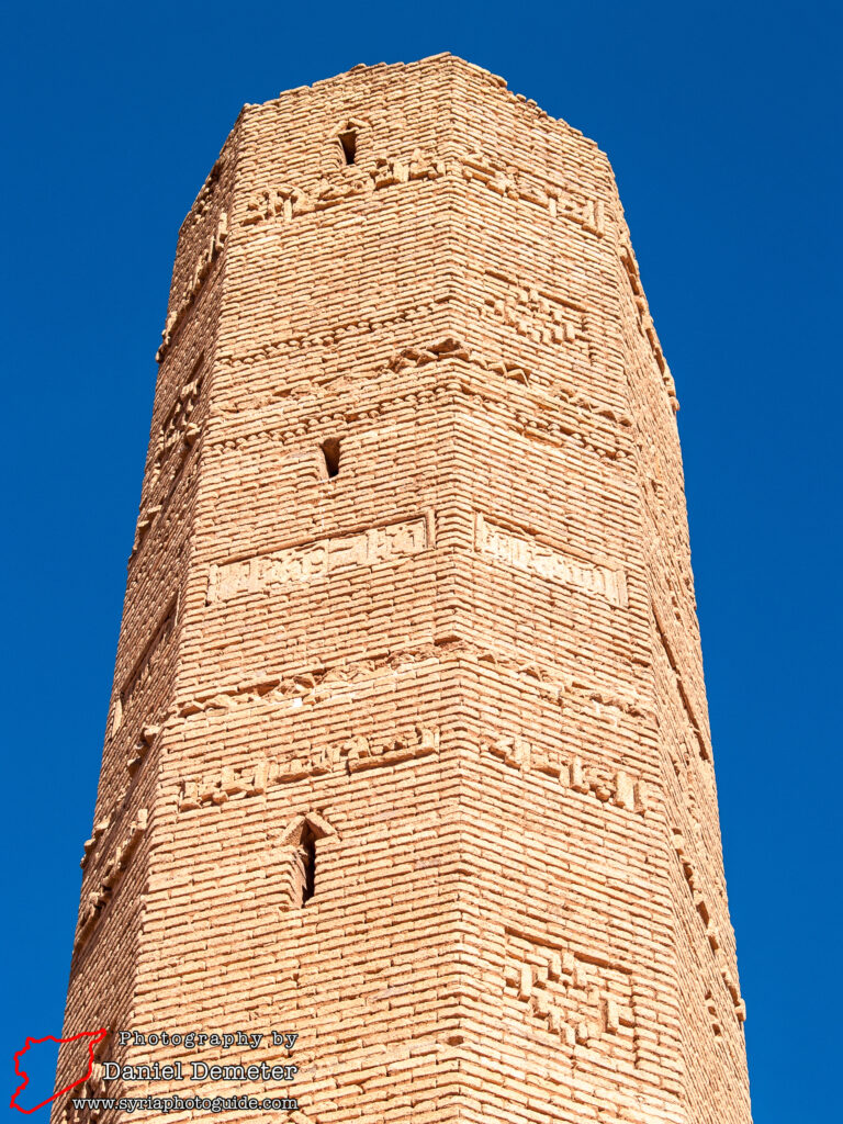
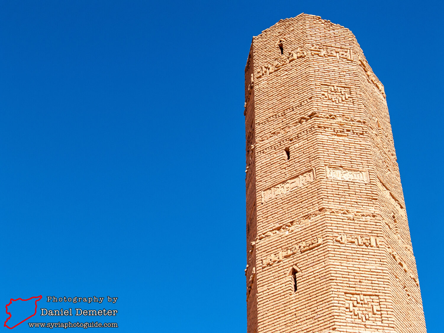
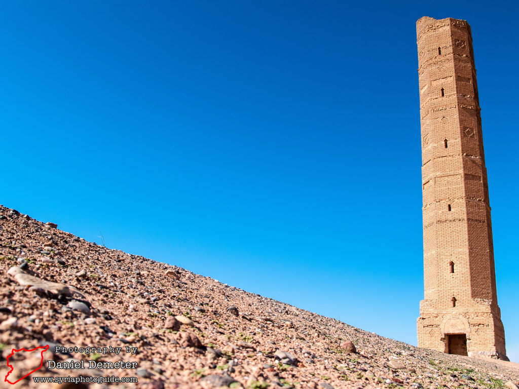
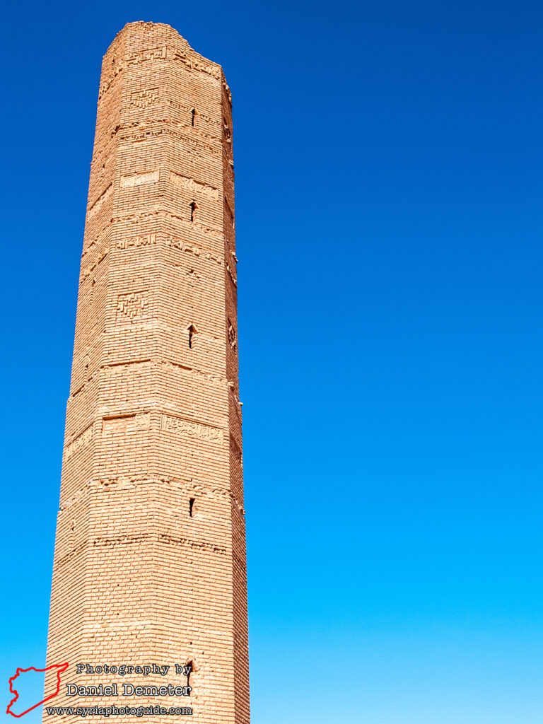
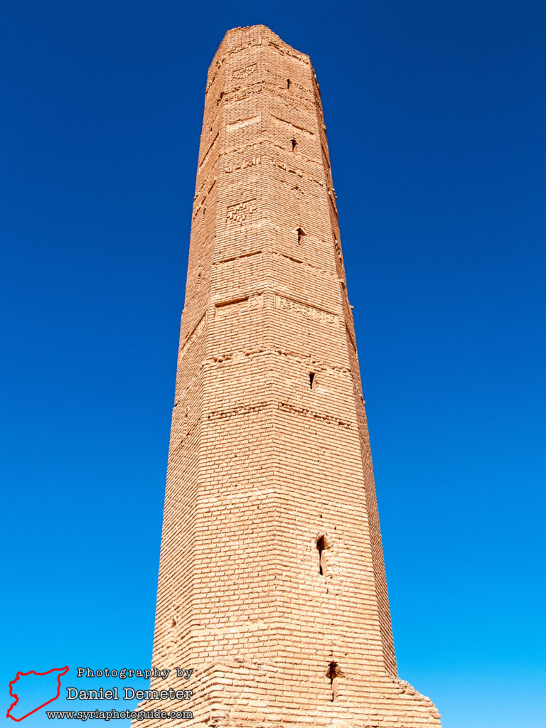
The 13th century brick minaret at the site was originally constructed in the now submerged village of Siffin (صفين). When the valley was threatened with flooding in the early 1970s, a rescue campaign was undertaken to move the minaret to its current location. It was near the village of Siffin (صفين) where the historic battle between Ali and Muawiya took place in 756, deciding the fate of the Umayyad dynasty. The most impressive monument at the site, the octagonal minaret features several Arabic inscriptions and geometric patterns and demonstrates eastern architectural influences during the Ayyubid period. An interior staircase leads to the top of the minaret, with fantastic views of the lake and surrounding countryside.
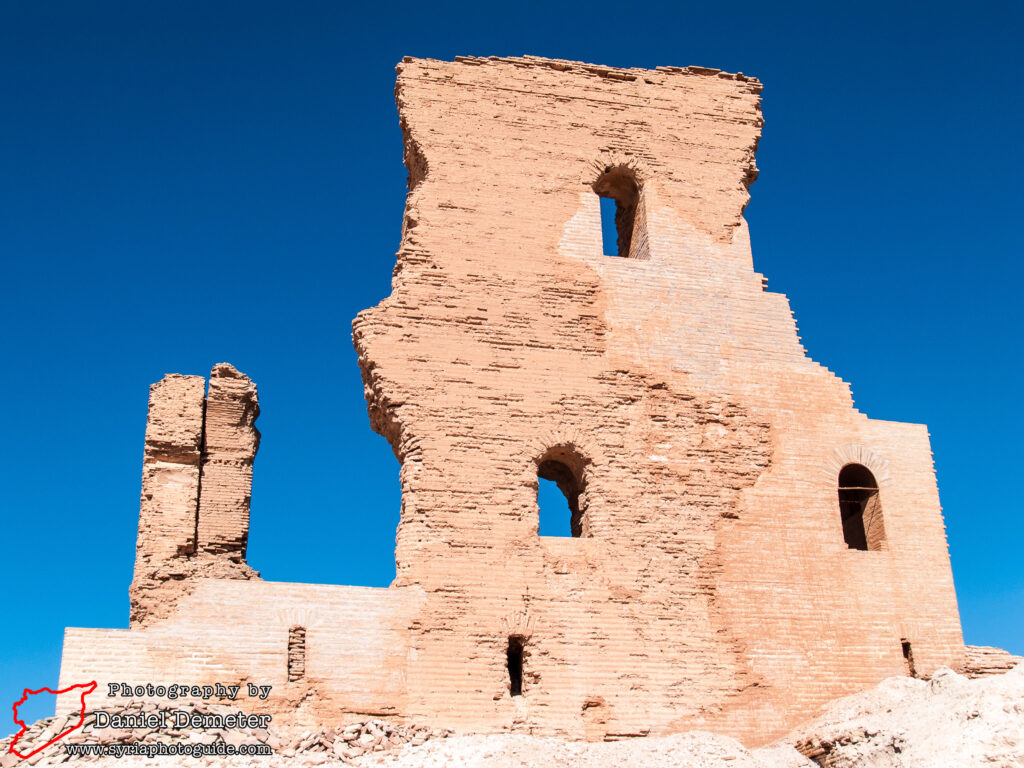
Getting There: Getting to Meskaneh (مسكنة) by public transportation is somewhat of a challenge. Minibuses leave Aleppo (حلب) for the modern town on a fairly regular basis, but the archaeological site is several kilometers further to the east. While the distance can be covered on foot, it may be best to hire a taxi in the town. It should only take an hour or two to fully explore the remains, though it is about a twenty minute (one kilometer) walk between the minaret and the Byzantine fortress.
Coordinates: 35°58’34.00″N / 38°06’05.00″E
Transliteration Variants: Maskaneh, Maskanah, Meskanah, Meskane, Maskane
Rating: 5 / 10
