
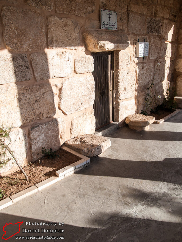
Deir al-Shirubeim دير الشيروبيم
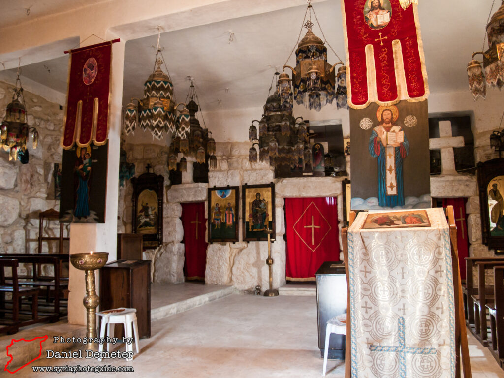
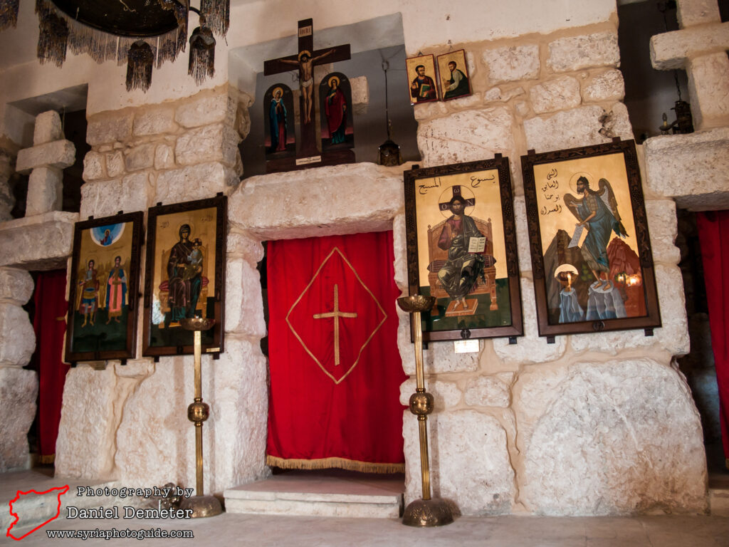
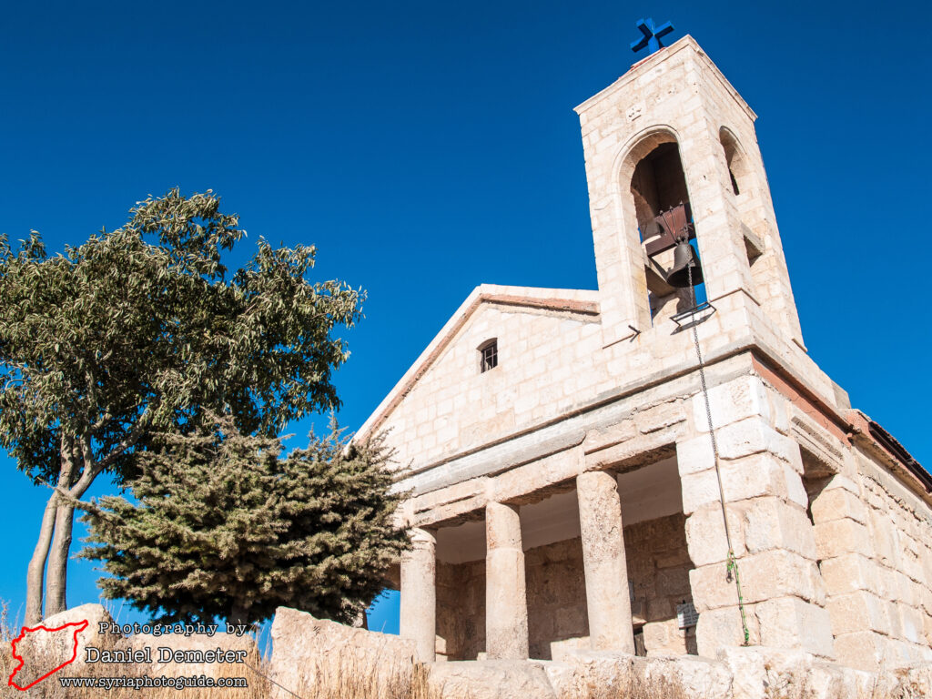
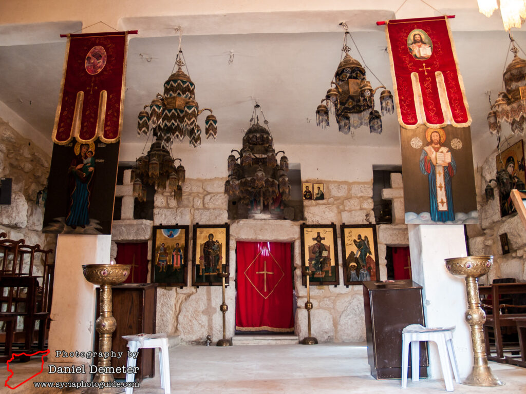
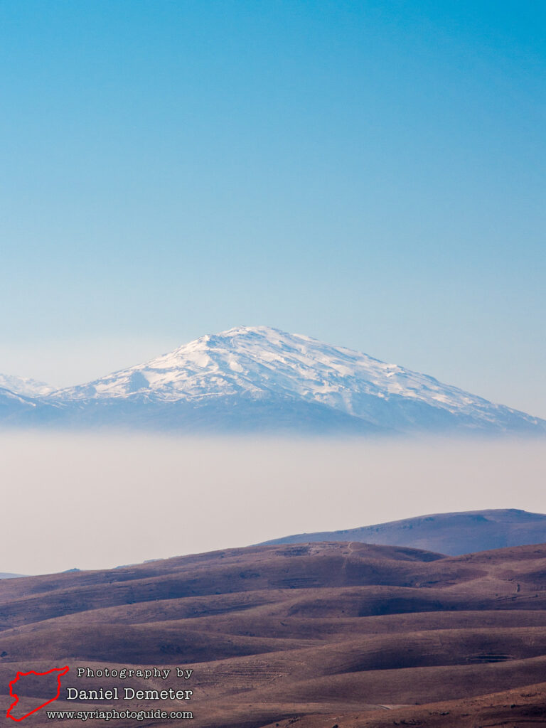
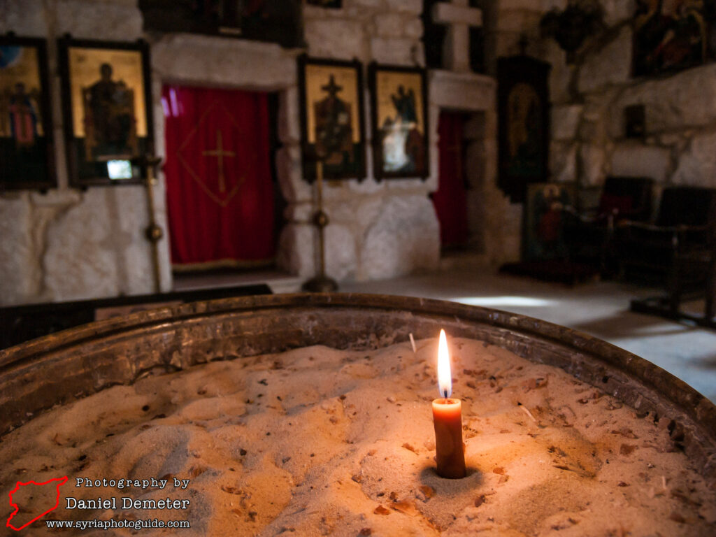
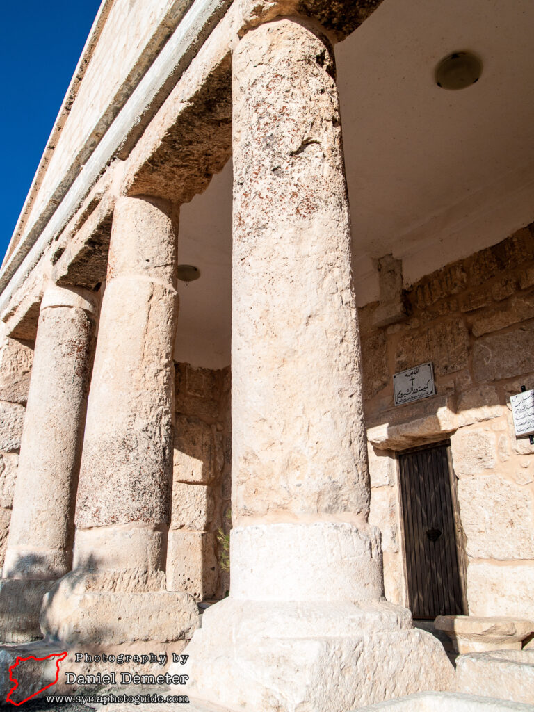
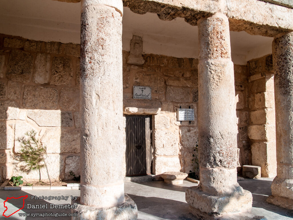
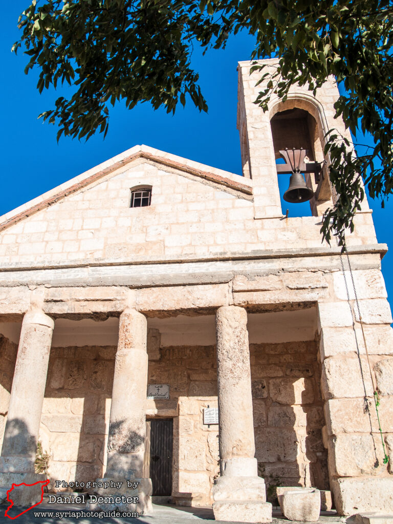
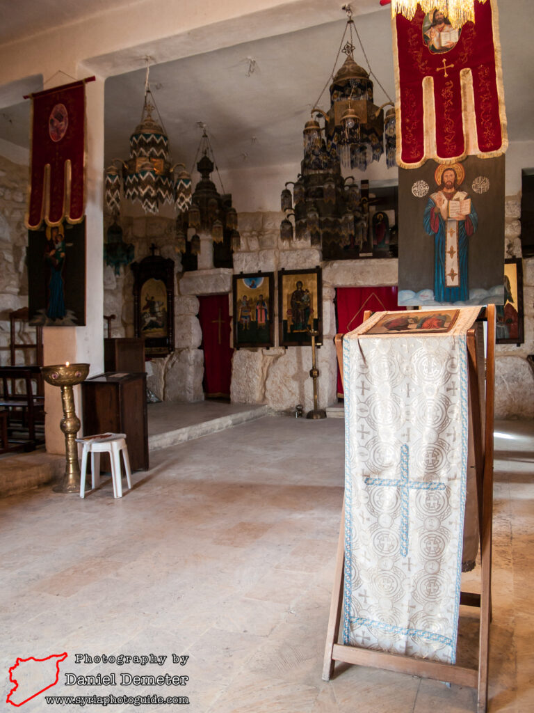
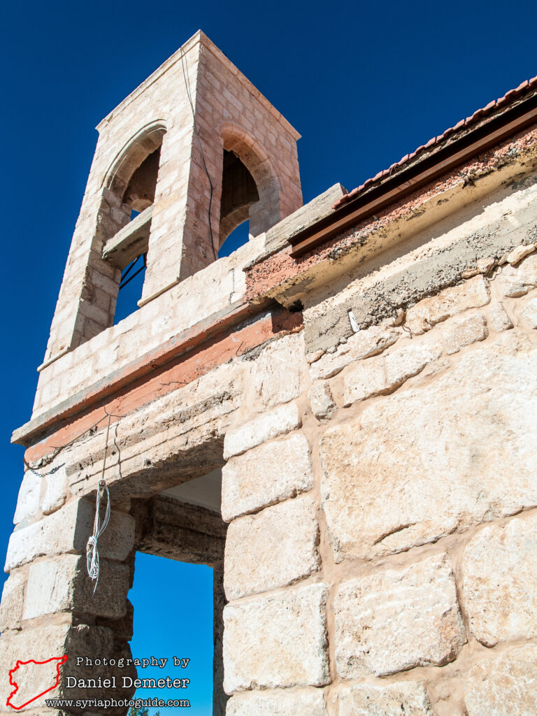
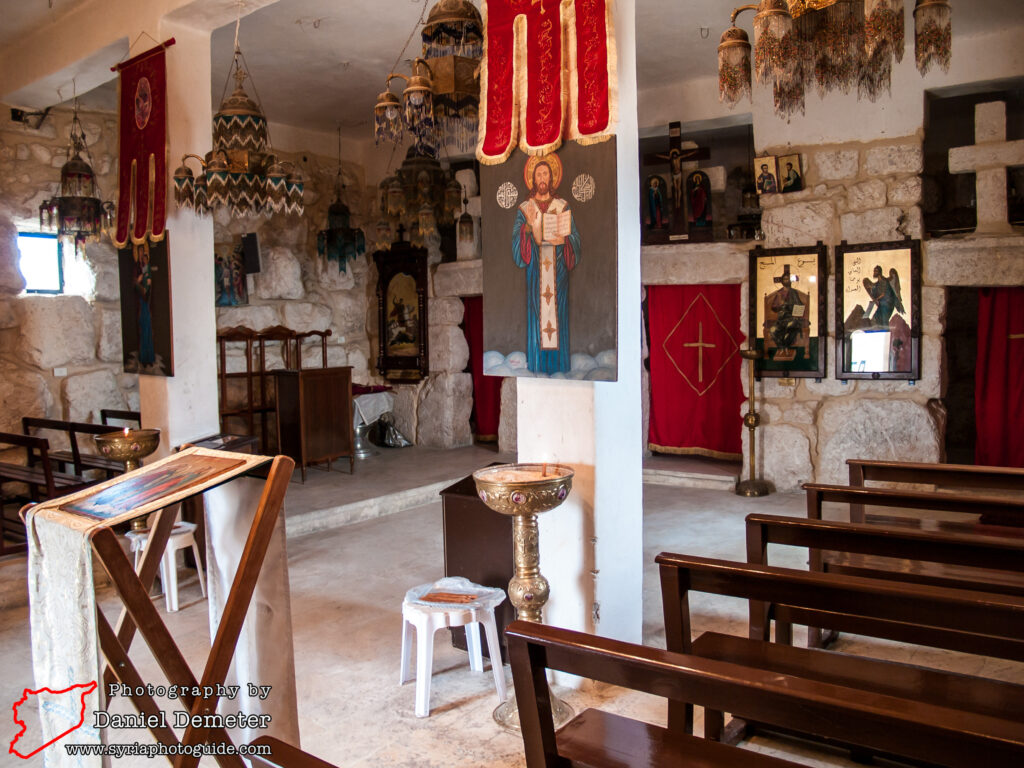
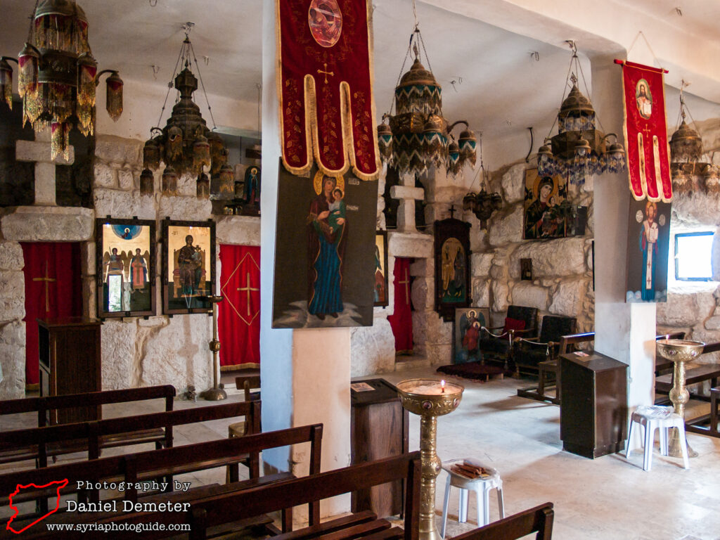
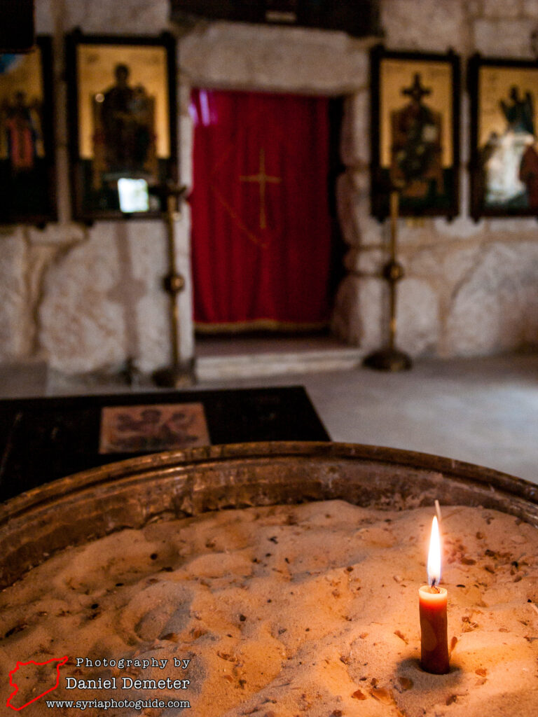
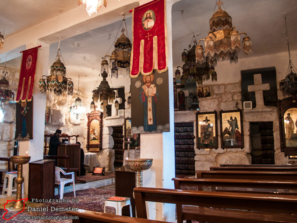
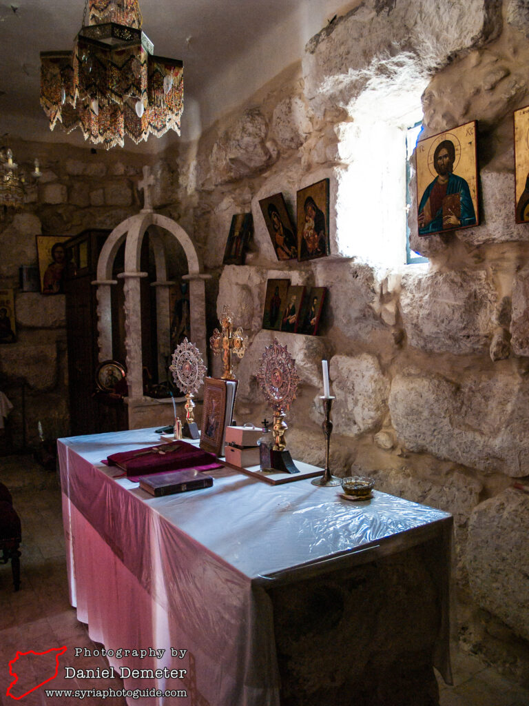
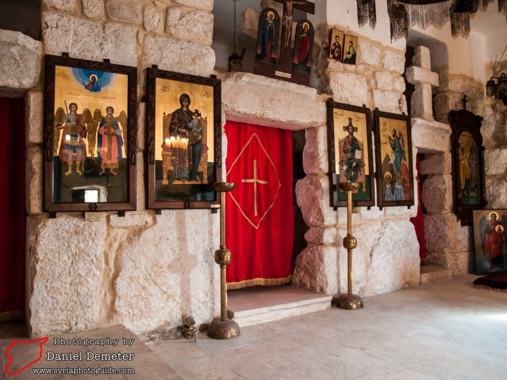
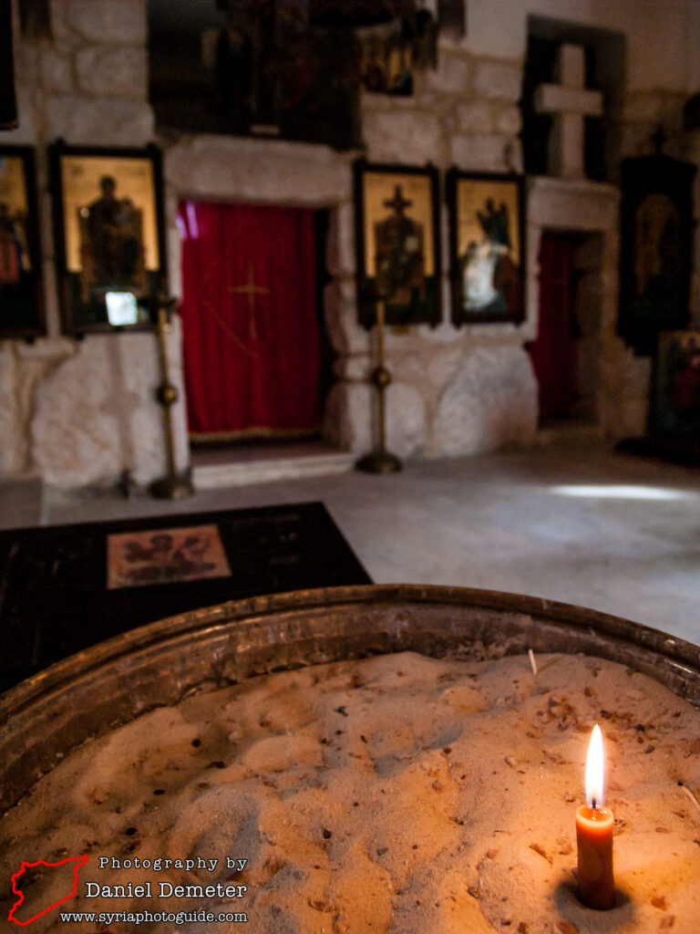
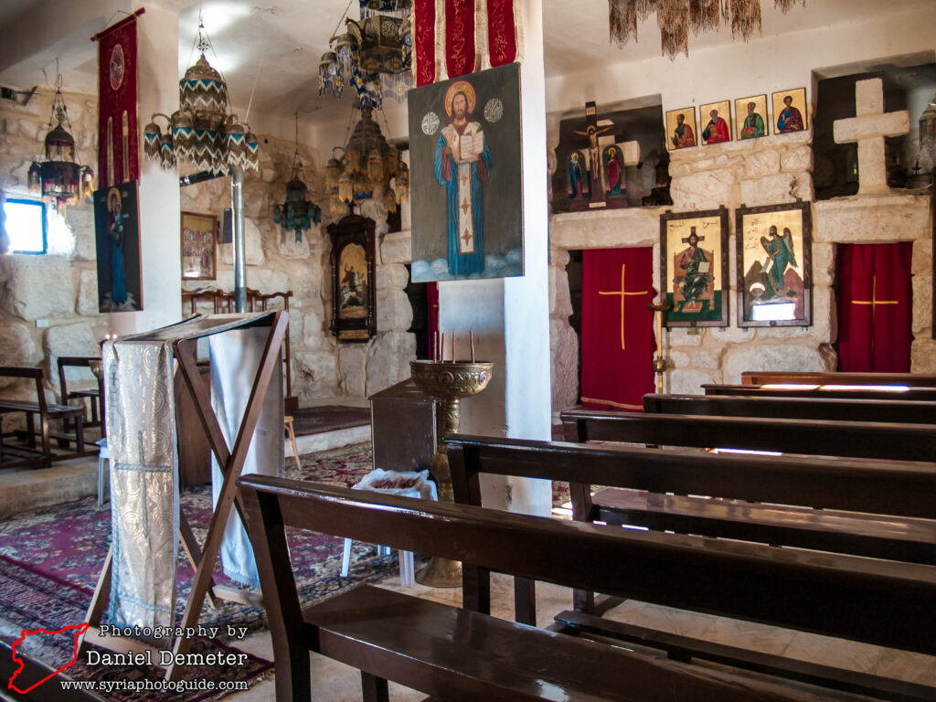
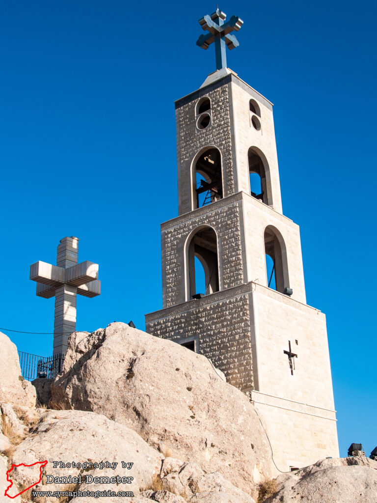
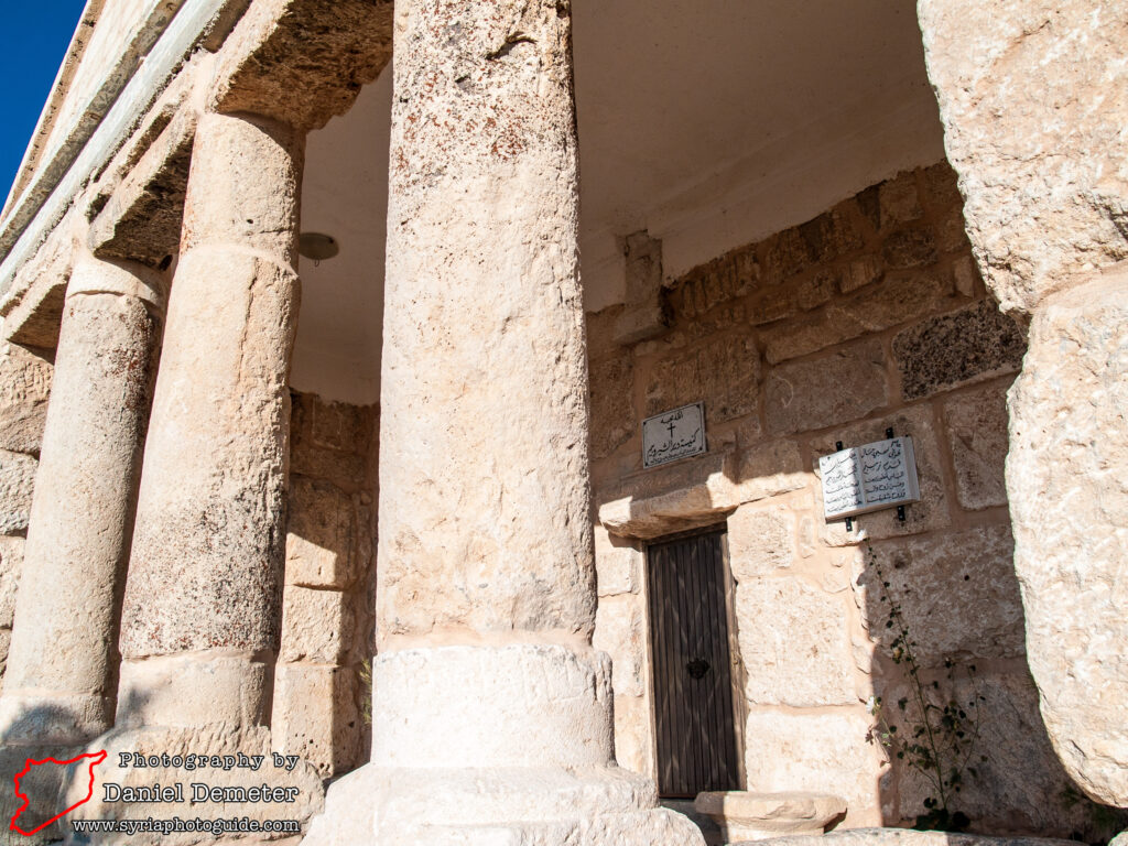
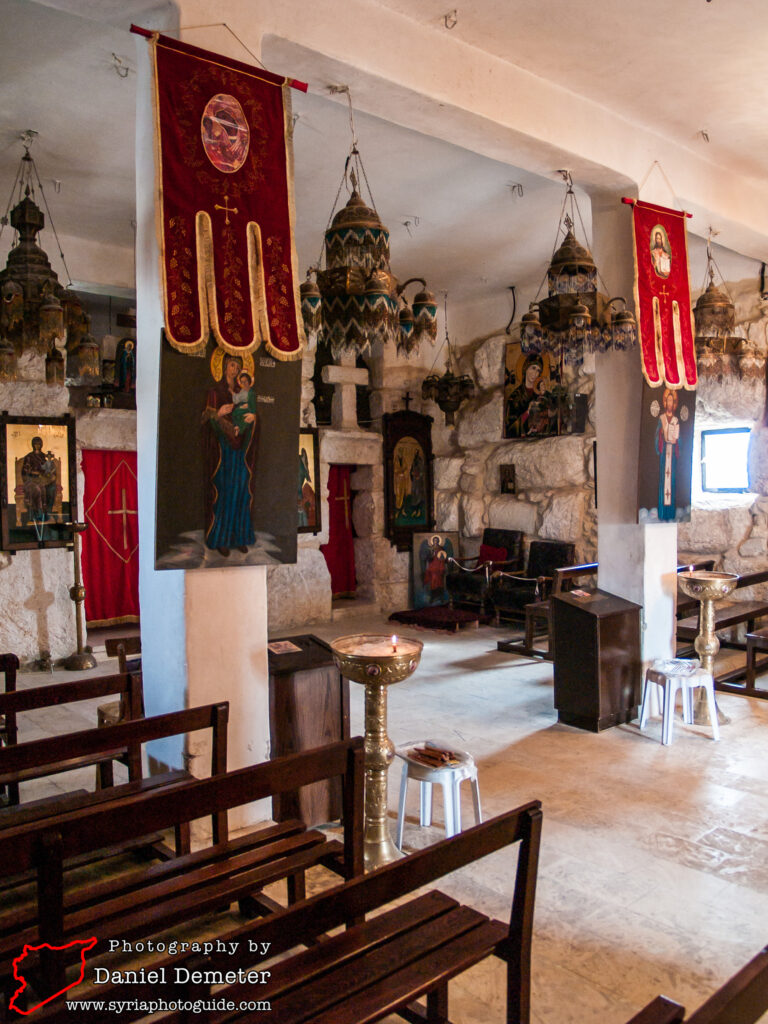
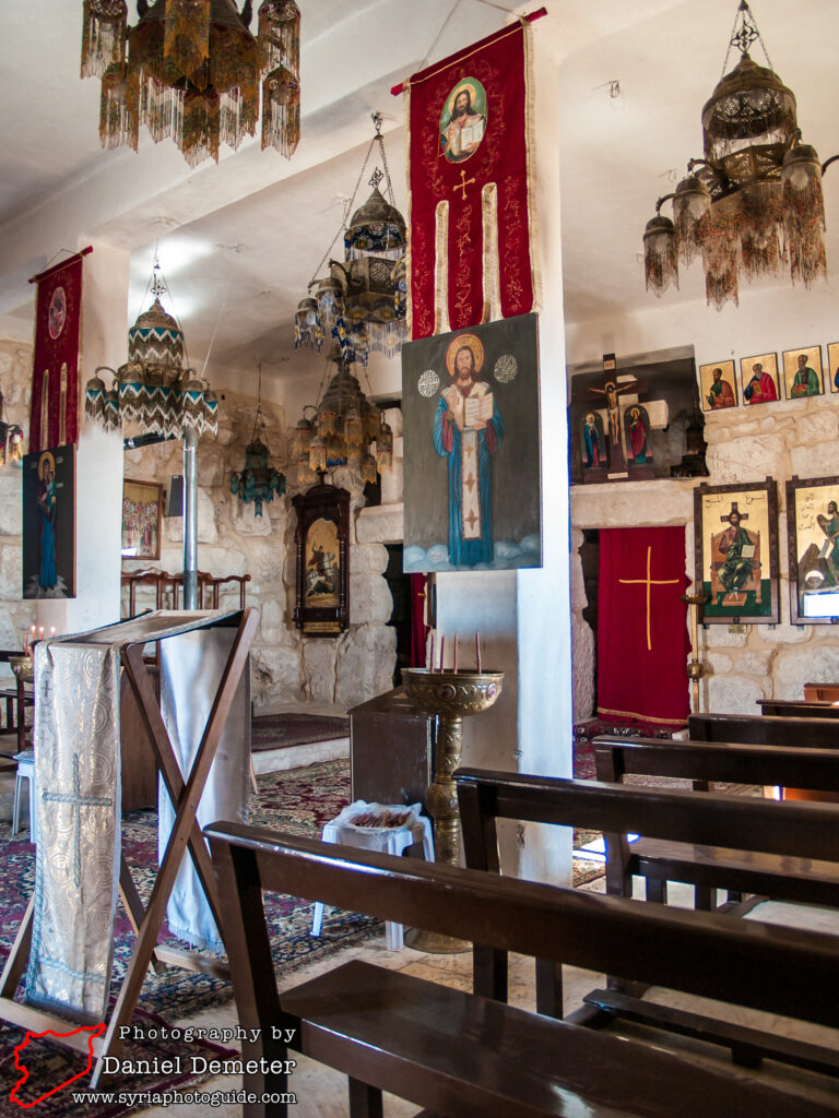
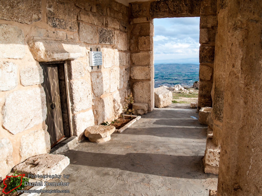
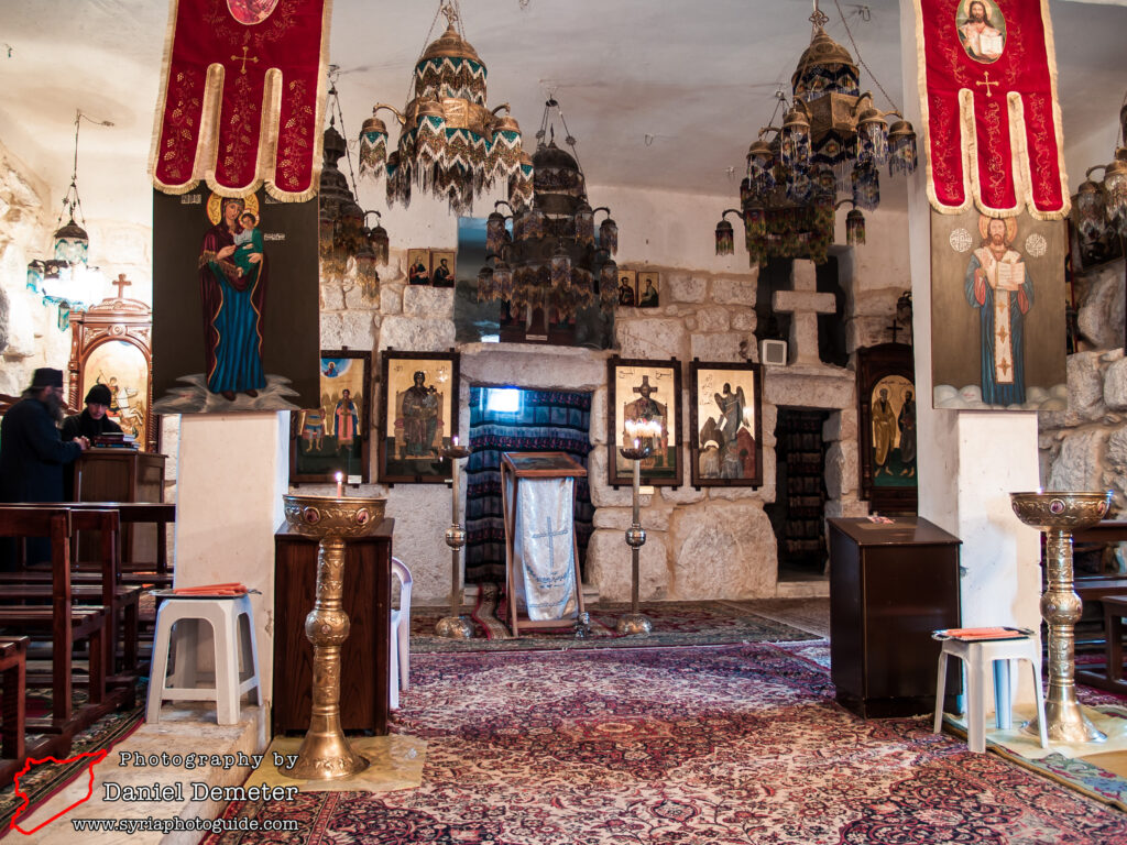
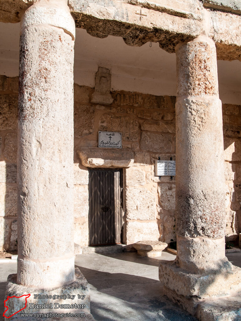
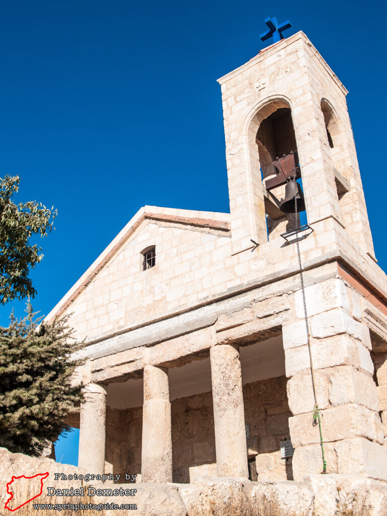
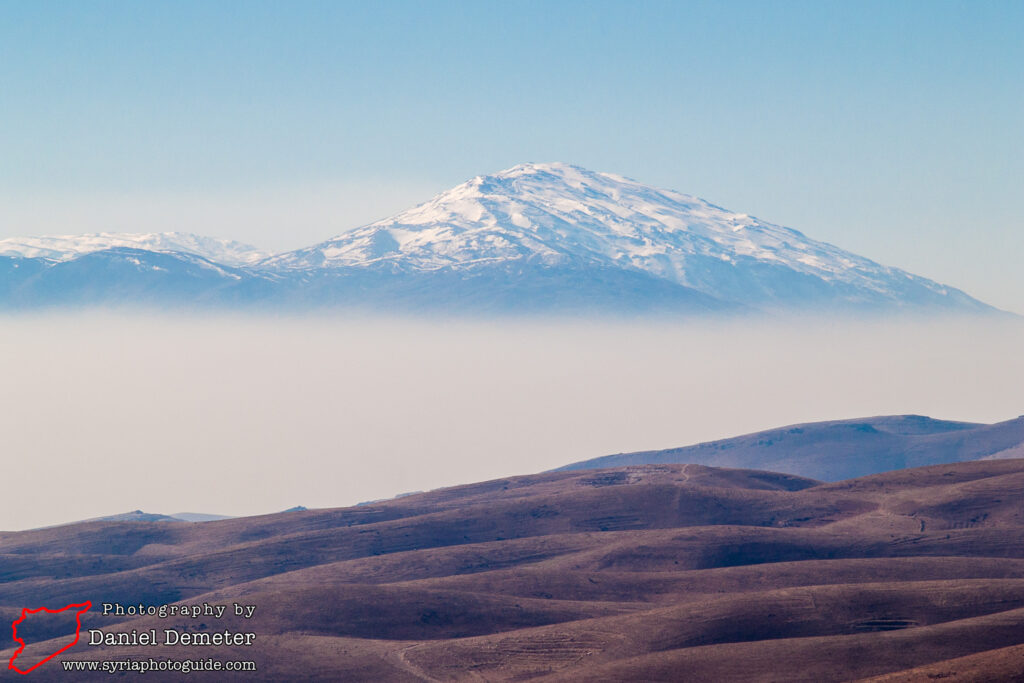
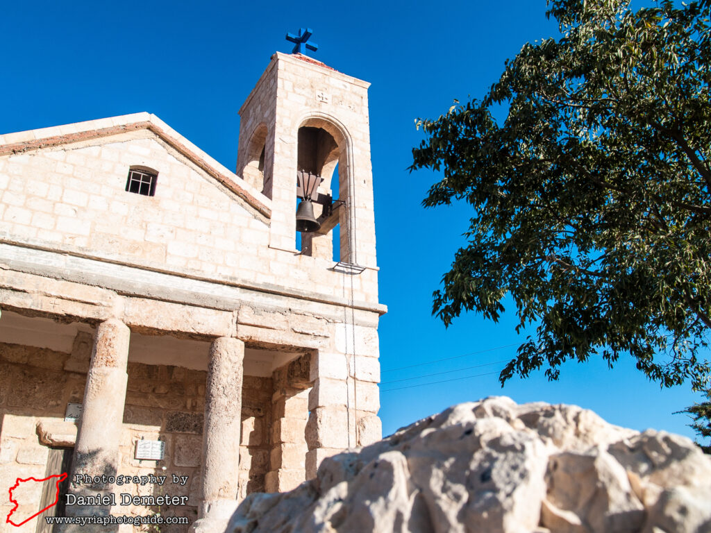
Deir al-Shirubeim (دير الشيروبيم) is a large monastery complex overlooking Seidnaya (صيدنايا) and the surrounding valley from an altitude of 1,910 meters, at the top of Mount Qalamoun. The small church at the site was originally a Roman temple built in the 3rd century. Although the Roman architecture is not as well preserved as the chapel of Deir Mar Touma (دير مار توما), the church is clearly built on ancient foundations and some original Roman pillars are used to support the modern roof. In addition, the views from the site are incredible, with the mountains of Lebanon visible to the west and the Syrian desert to the east.
The best option of reaching Deir al-Shirubeim (دير الشيروبيم) is by hiking from Seidnaya (صيدنايا) via Deir Mar Touma (دير مار توما). The hike, not including time spent at the sites, should take between 1.5 and 2 hours uphill, and about an hour back down. It is a very steep hike uphill, so bring adequate water. Also, keep in mind the altitude and exposure; even if it is warm in Damascus it could be near freezing at the peak of the mountain with high winds. Outside of the summer months, it is a good idea to bring a jacket and/or windbreaker.

Getting There: Frequent microbuses from Damascus (دمشق) to Seidnaya (صيدنايا) depart from the microbus station near Balal Square (ساحة بلال) between Qasaa (قصاع) and Zablatani (زبلطاني), slightly northeast of Bab Touma Square (ساحة باب توما). The trip takes about 30-45 minutes. There is no public transportation from Seidnaya (صيدنايا) to Deir al-Shirubeim (دير الشيروبيم), so hiring a private taxi in Seidnaya (صيدنايا) to travel the remaining distance is the best option for those who don’t want to hike to the monastery.
To reach the monastery on foot, one should first follow the road that leads northwest from Seidnaya (صيدنايا) to Deir Mar Touma (دير مار توما). It is about a 20-30 minute walk, but entirely uphill and somewhat of a steep climb. From Deir Mar Touma (دير مار توما), an obvious dirt road continues up to Deir al-Shirubeim (دير الشيروبيم), though you could easily blaze your own trail up the mountain. This dirt road eventually intersects with a paved road coming up from the valley to the east and leading to the monastery.
Coordinates: 33°43’38.56″N / 36°22’23.70″E
Transliteration Variants: Deir al-Shirubeem, Deir al-Shirubim
Rating: 4 / 10