Hama – Old Houses حماة – البيوت القديمة
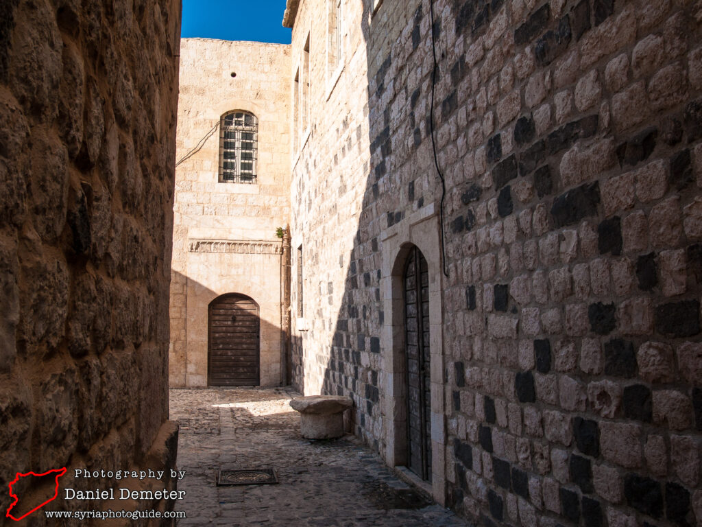
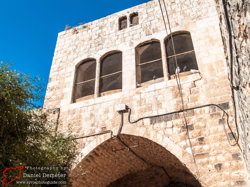
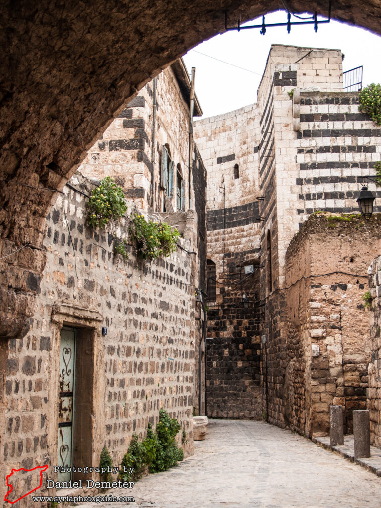
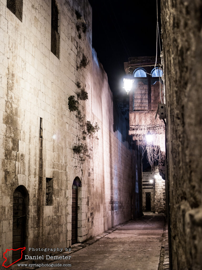
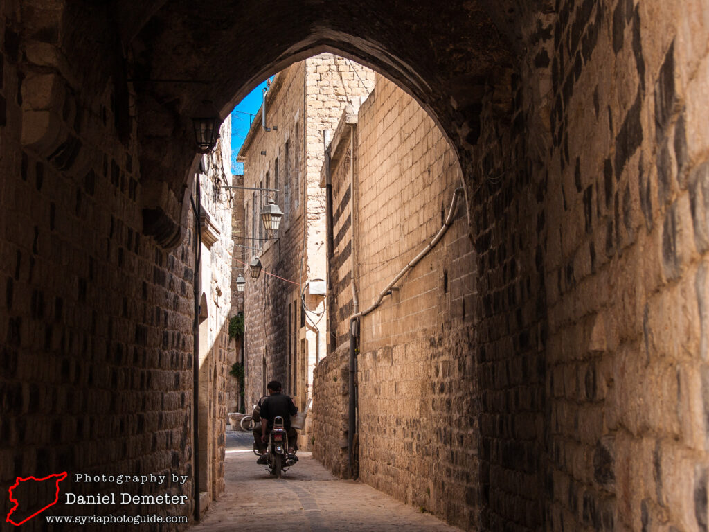
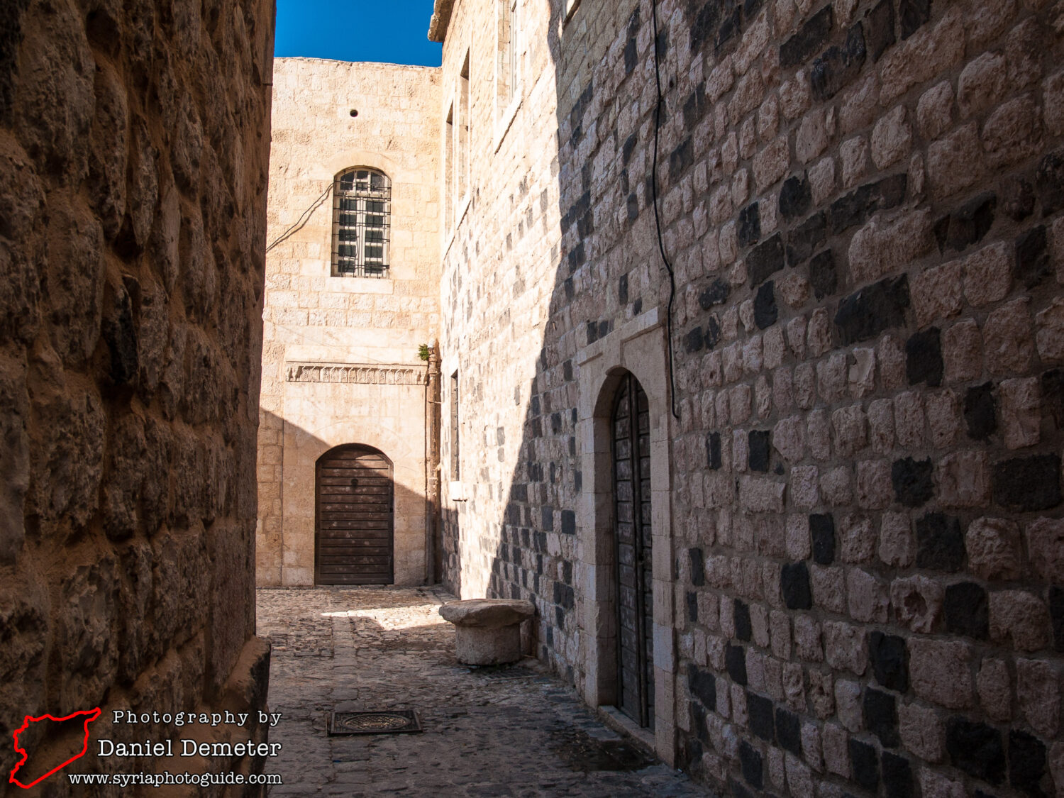
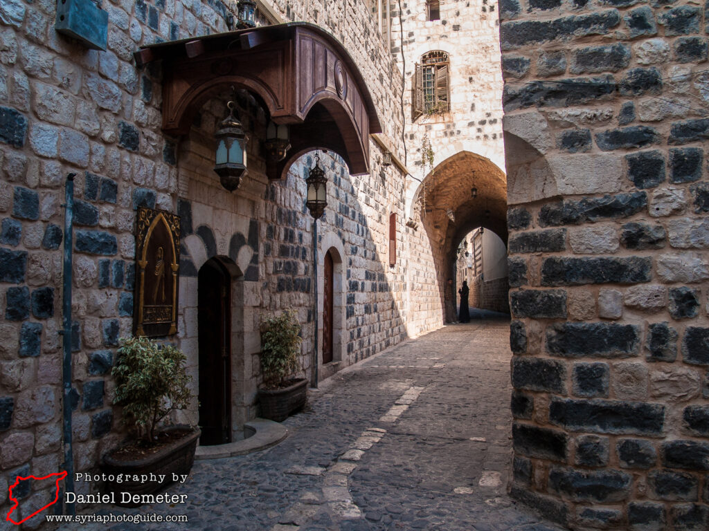
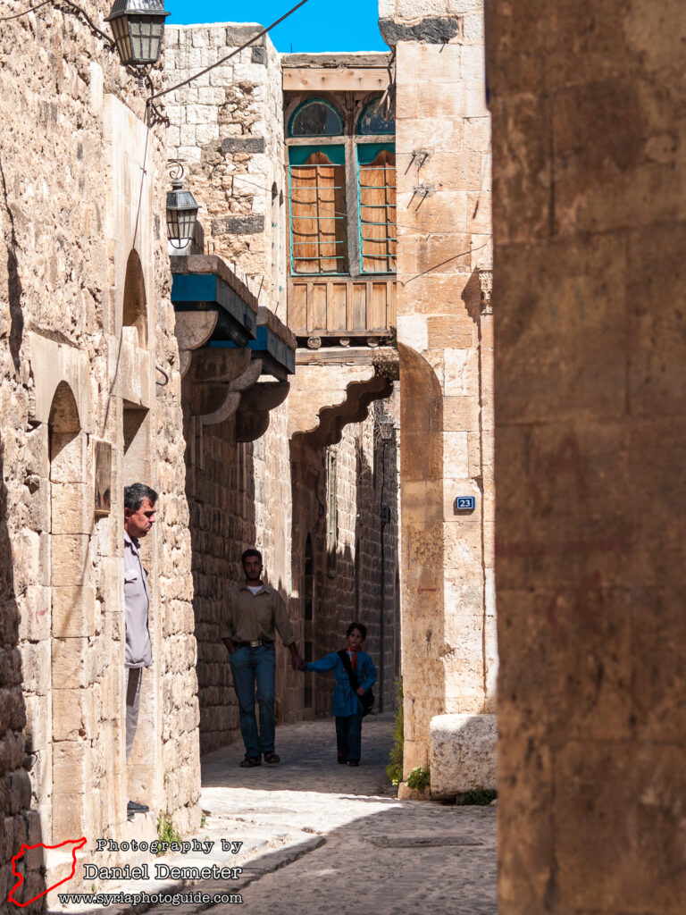
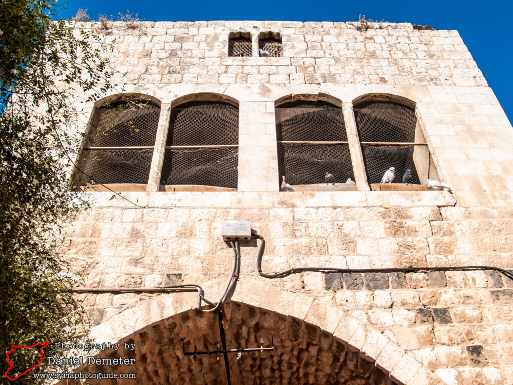
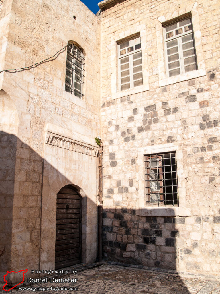
Much of the historic center of Hama (حماة) was destroyed by armed conflict in 1982. The Syrian government launched a major offensive against the city, then a stronghold of the Muslim Brotherhood, in February of that year. Subsequent reconstruction of the city largely ignored its architectural heritage, much of which was replaced by modern development. Only a small area of the old city has survived, retaining just a sample of the city’s traditional residential architecture.
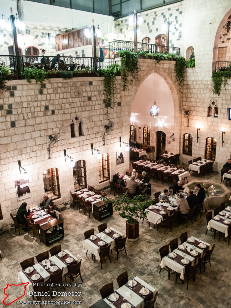
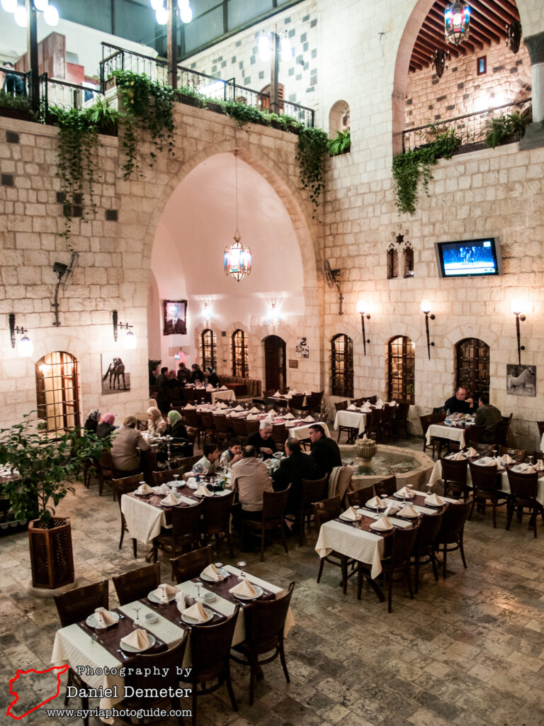
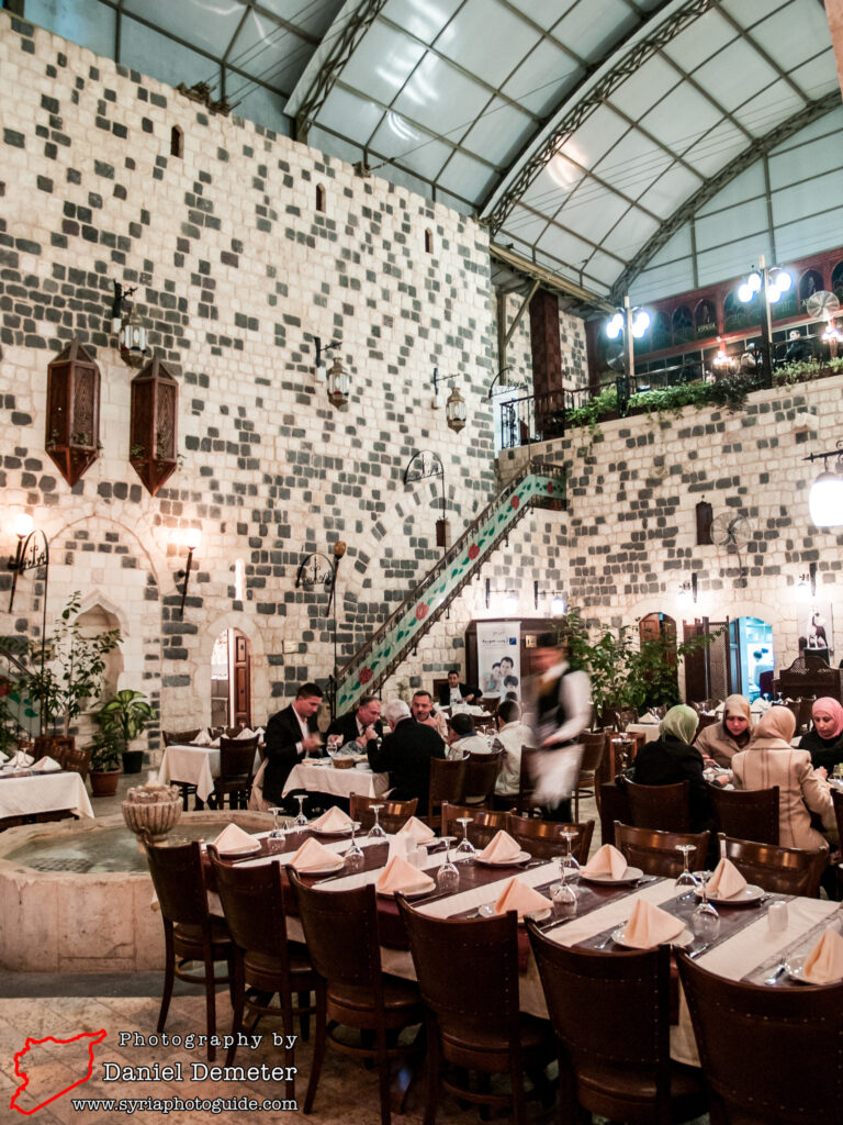
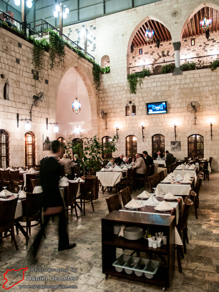
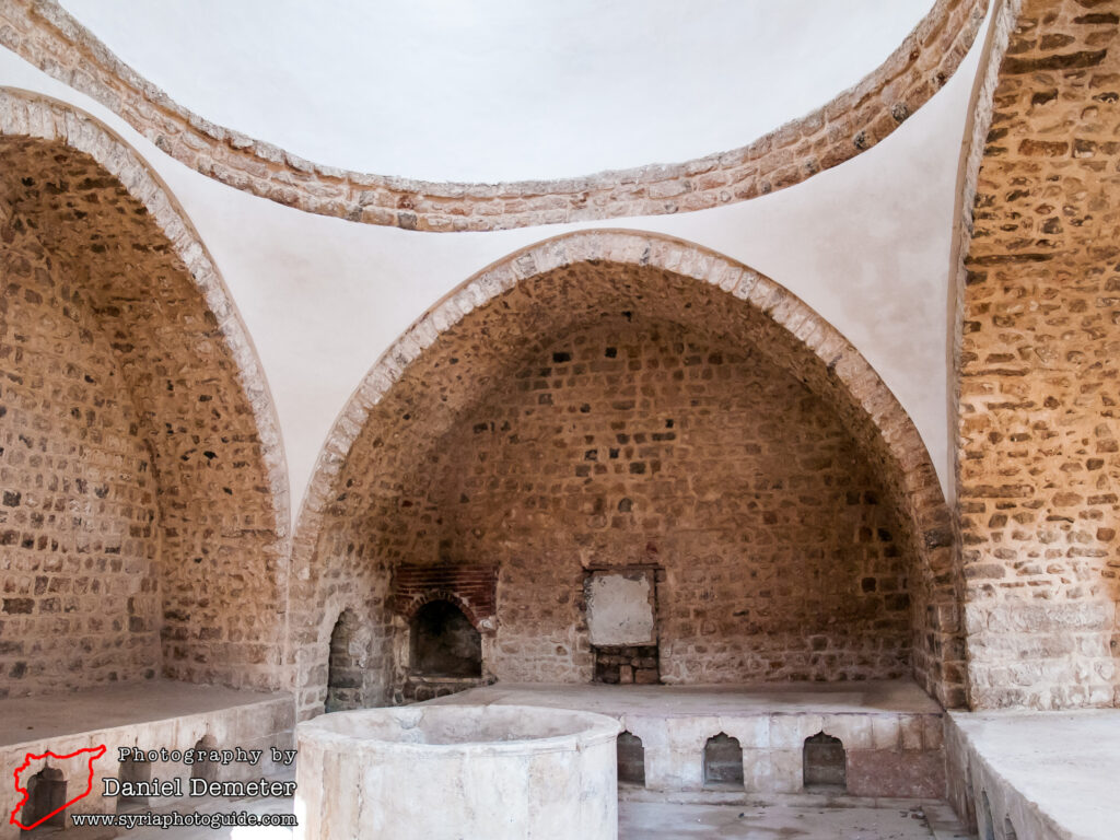
The most well-preserved section of the old city of Hama (حماة) is found northwest of the modern city center, west of the Orontes (العاصي) and south of al-Nuri Mosque (جامع النوري). This area has seen renewed conservation and restoration efforts in the last decade, and some privately owned residences have been converted into restaurants and cafes. Most of these houses were constructed during the Mamluk and Ottoman eras, with some remains dating back to earlier Islamic periods. Scattered remnants from the Roman and Byzantine periods, such as foundational stones and remains of pillars, can be found throughout the area as well. By far the most remarkable of the historic residences in the old city, and one of the few open to the public, is Qasr al-Azem (قصر العظم). There are also art galleries and two public baths that can be visited.
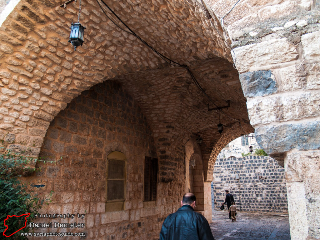
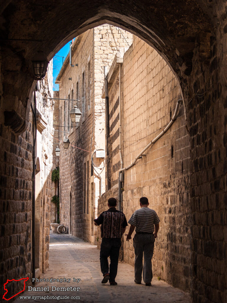
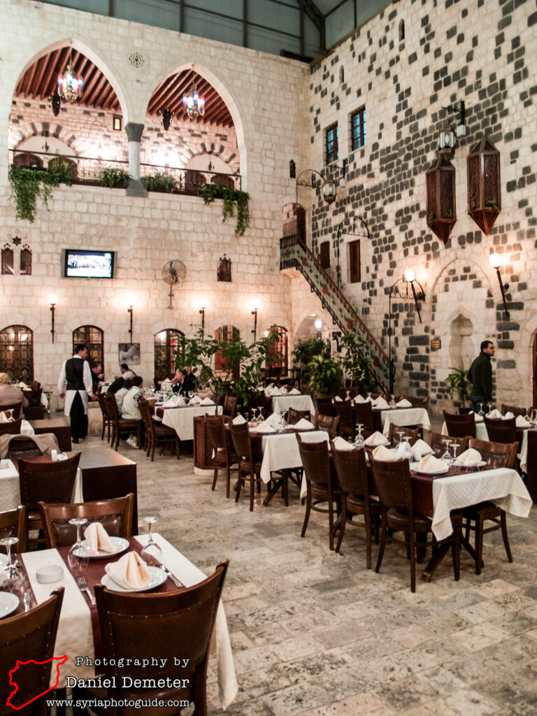
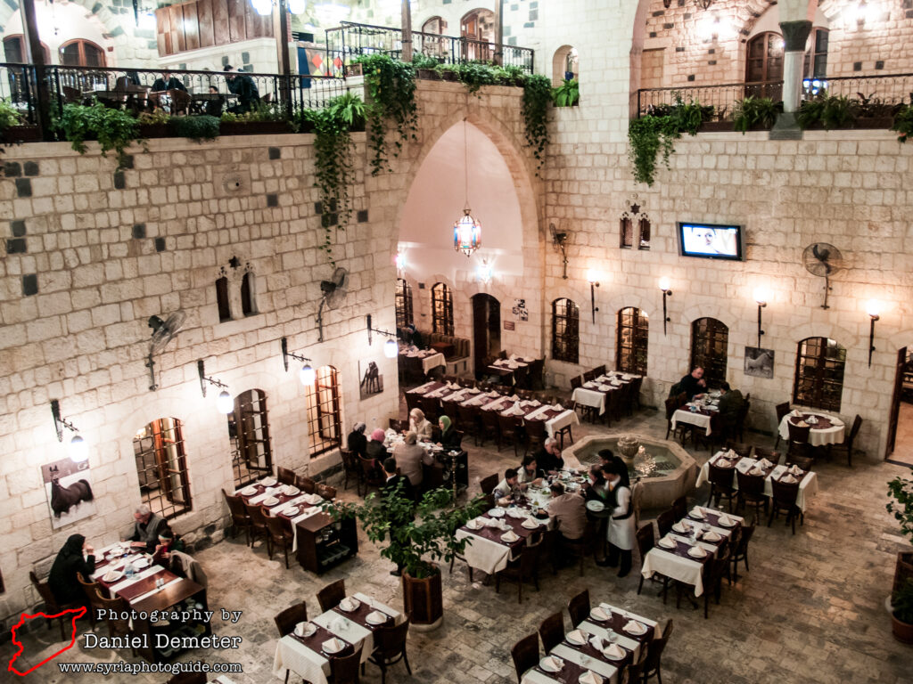
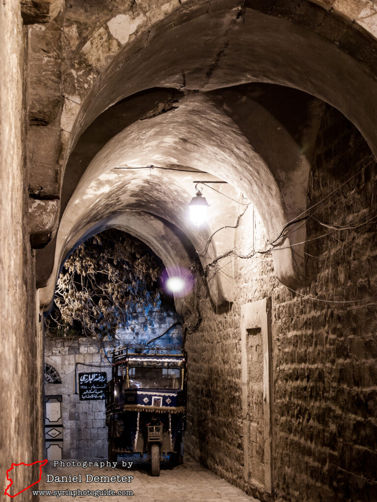
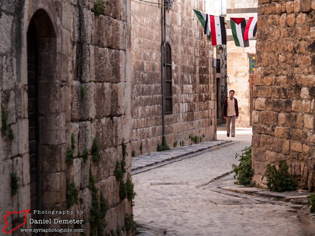
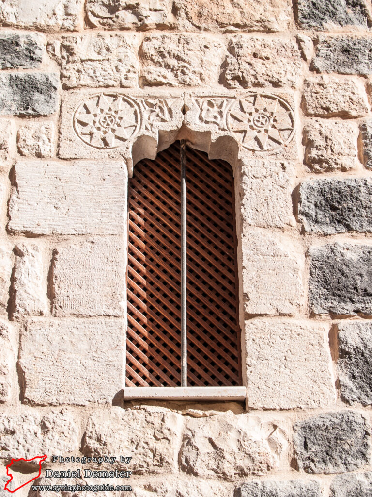
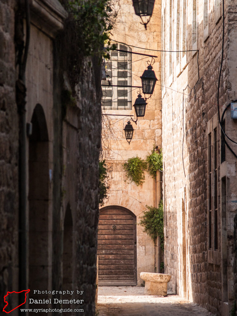
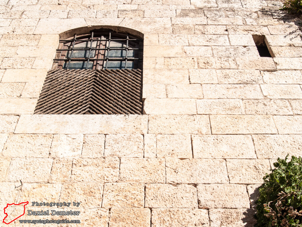
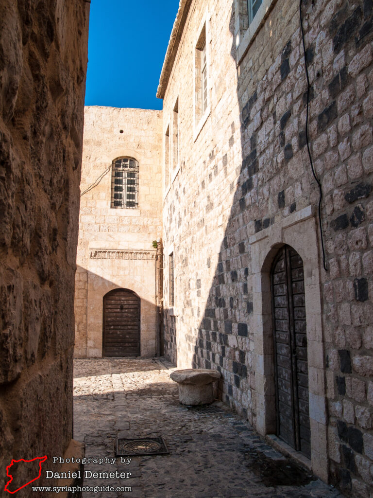
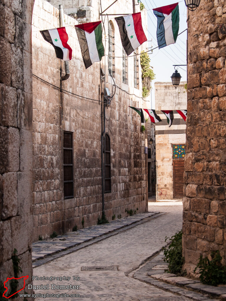
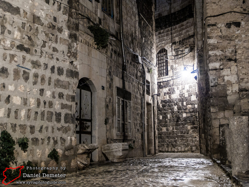
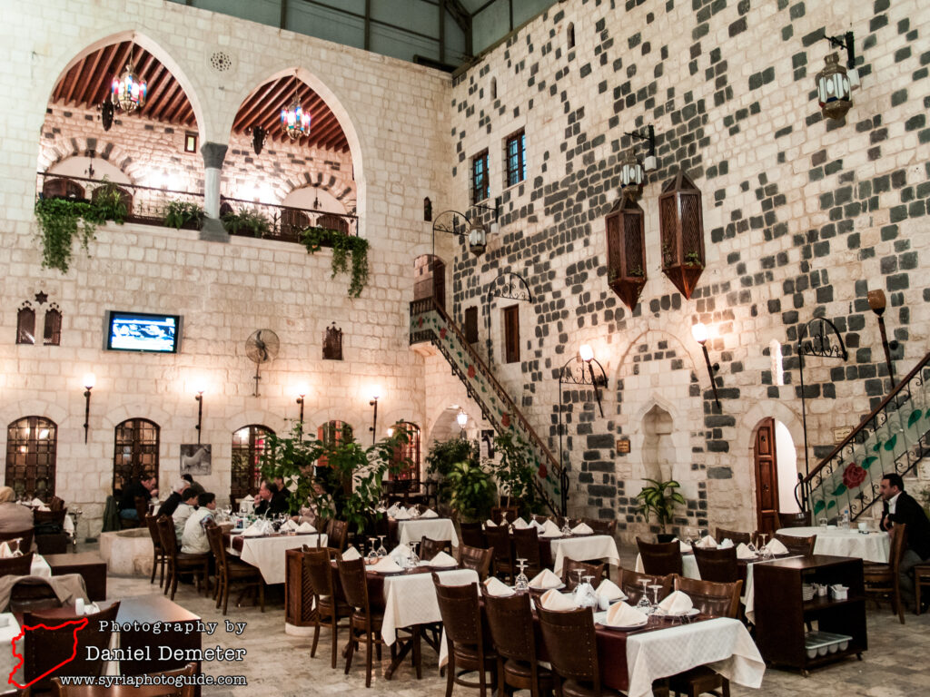
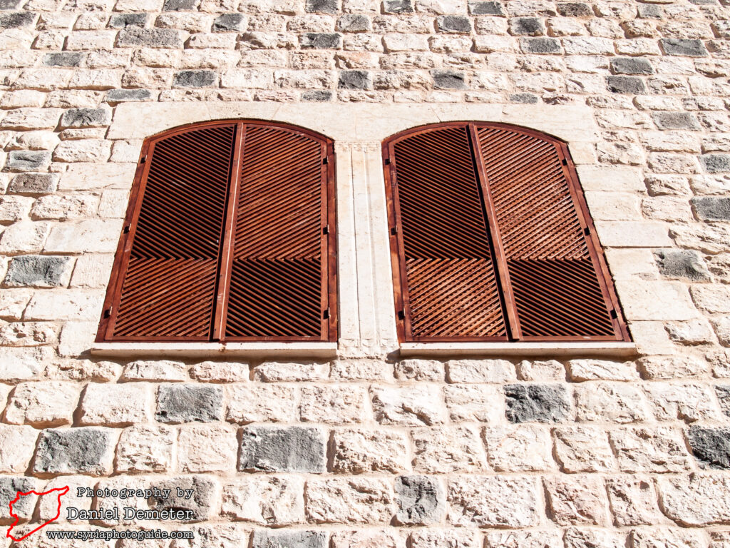
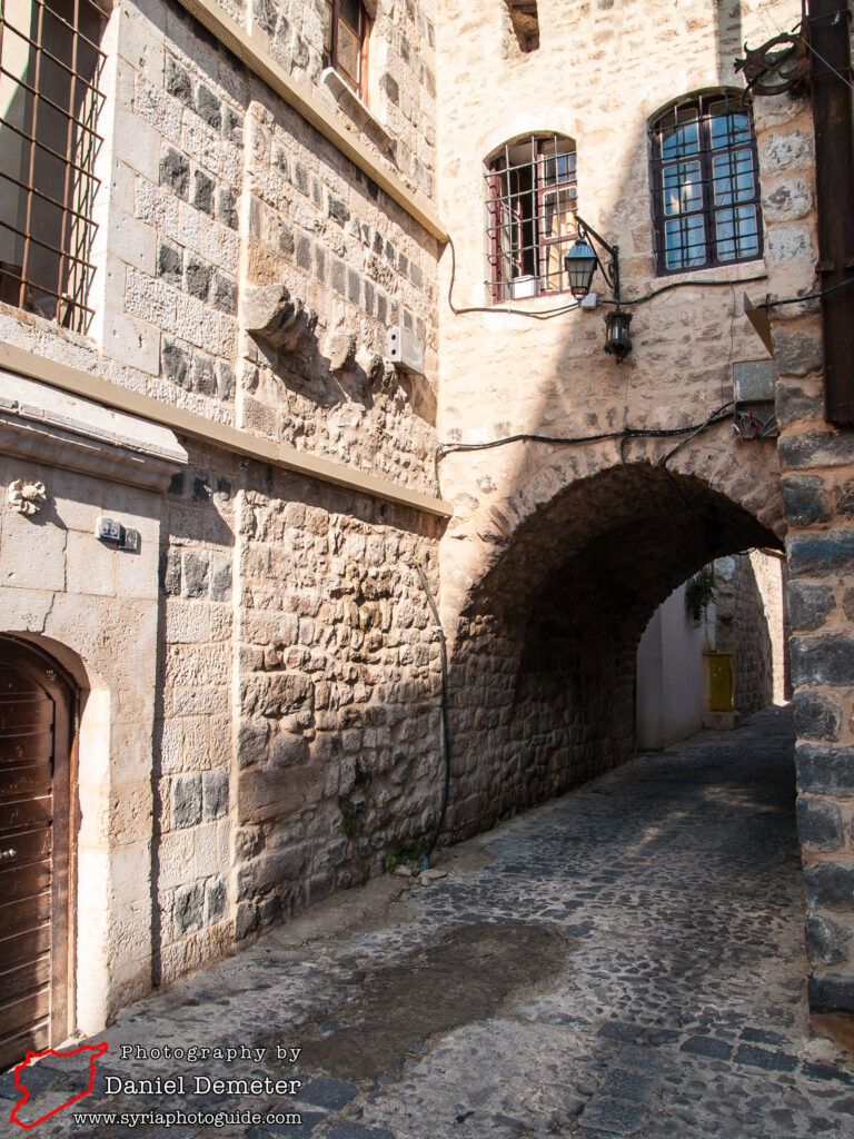
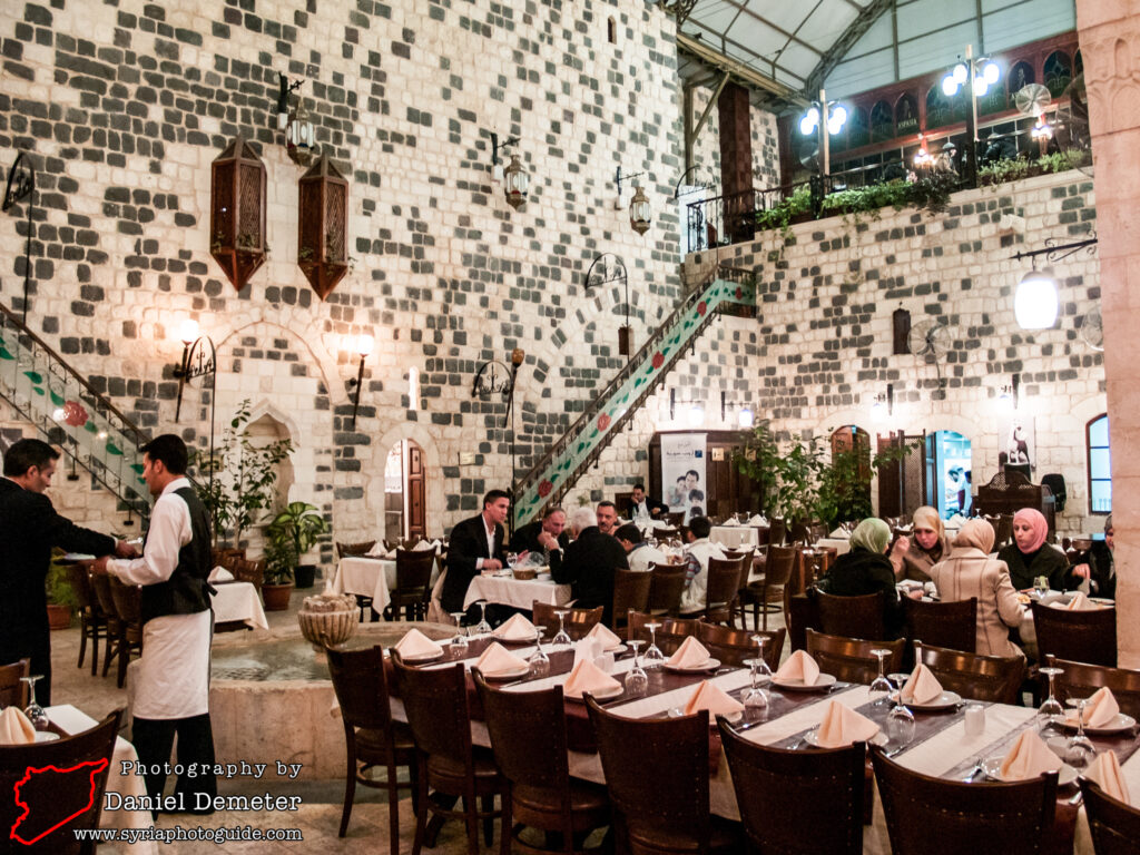
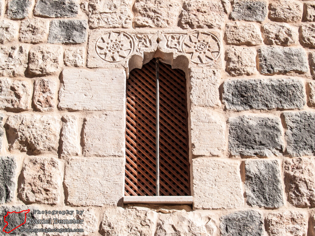
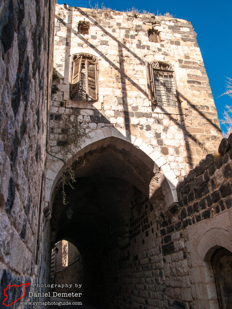
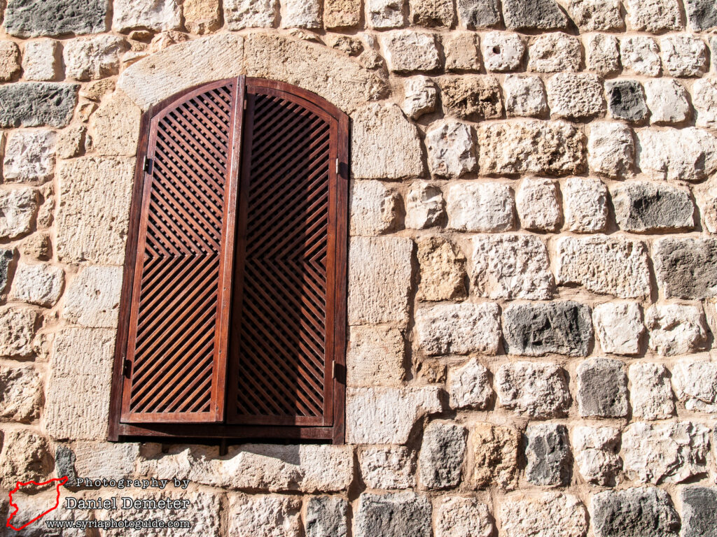
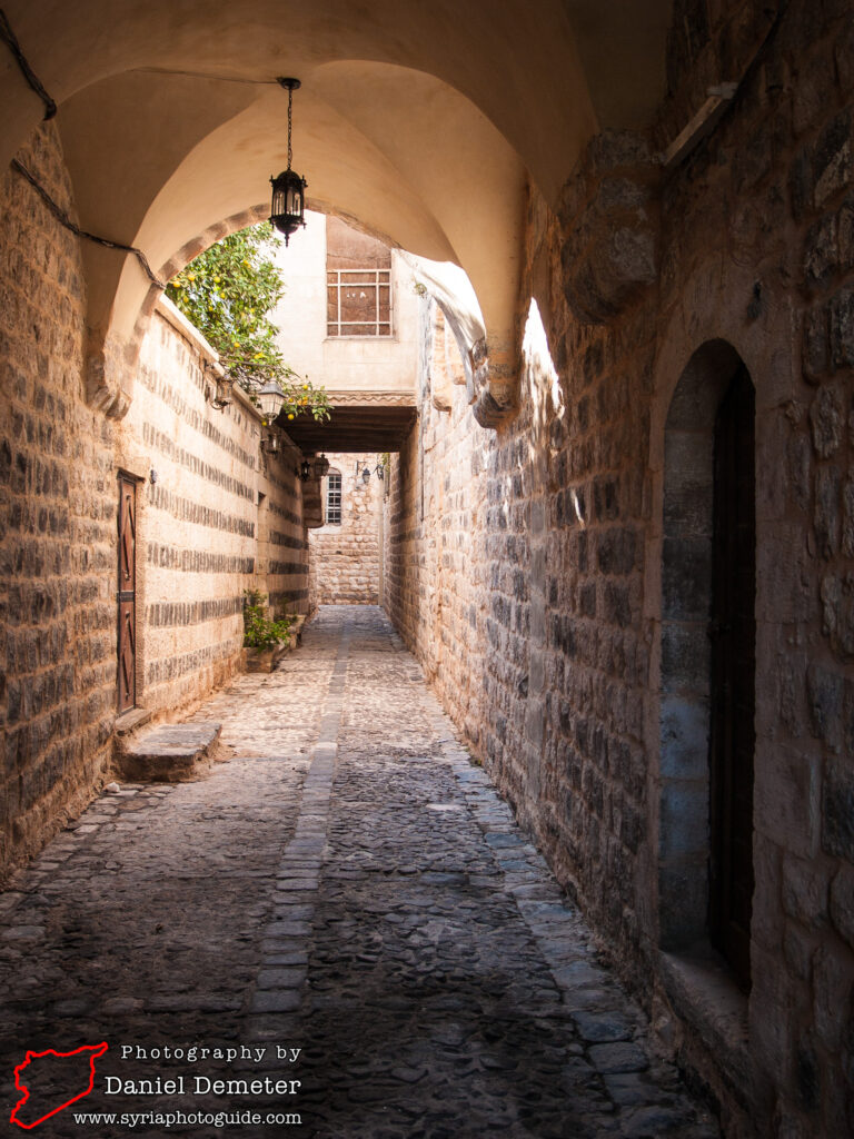
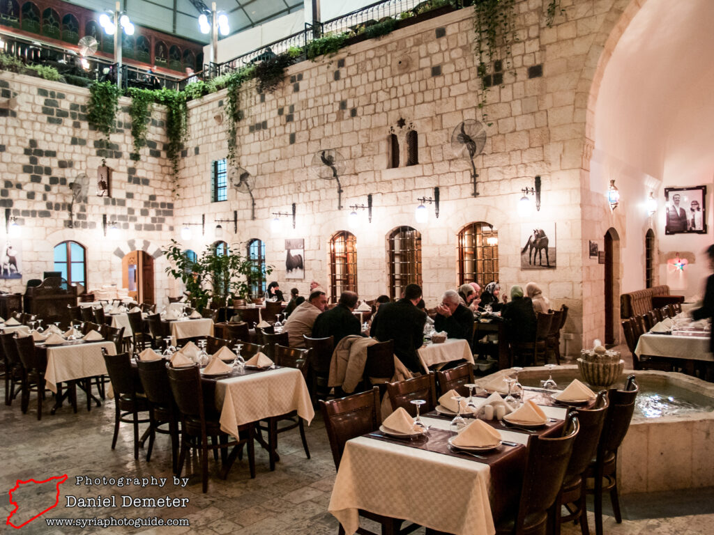
Getting There: Hama (حماة) is one of Syria’s largest cities and has frequent bus connections with Damascus (دمشق) and Aleppo (حلب), with less frequent buses traveling between Hama (حماة) and Tartus (طرطوس), Lattakia (اللاذقية), al-Raqqa (الرقة) and Deir al-Zur (دير الزور). Microbuses travel between Hama (حماة) and Homs (حمص) every few minutes. Most of the historic houses of Hama (حماة) are located in the old city, primarily south of al-Nuri Mosque (جامع النوري) on the western side of the Orontes (العاصي) river.
Coordinates: 35°08’00.00″N / 36°45’13.00″E
Transliteration Variants: None
Rating: 4 / 10
