
Homs – Citadel & City Walls حمص – القلعه و جدران المدينه
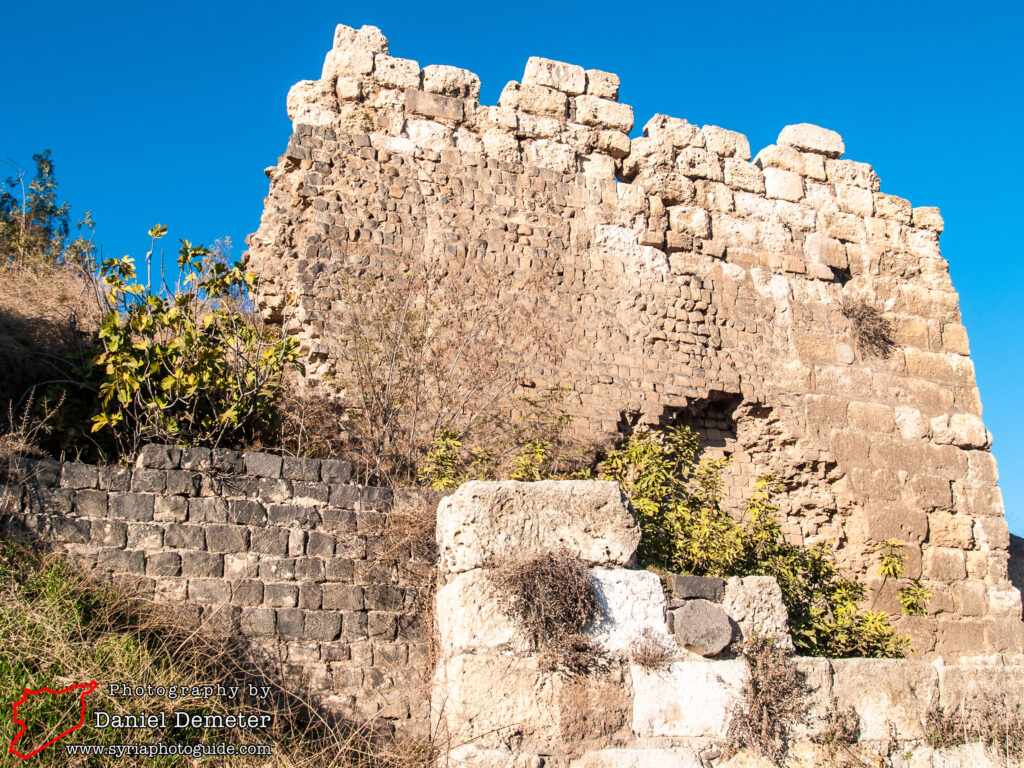
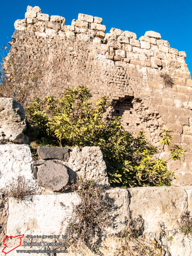
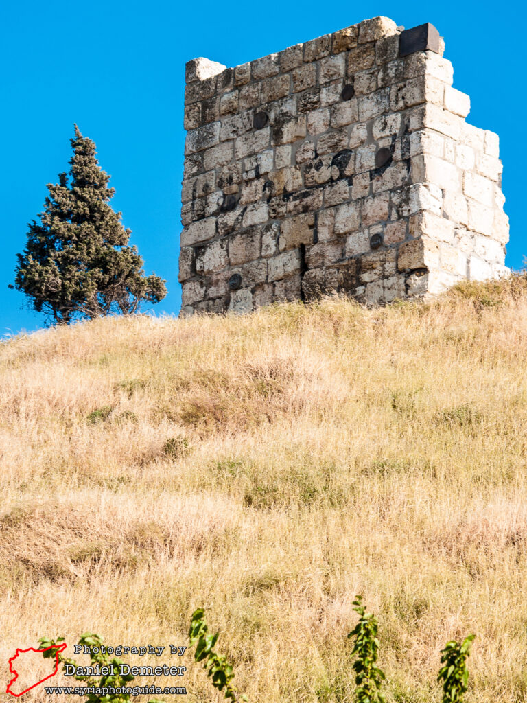
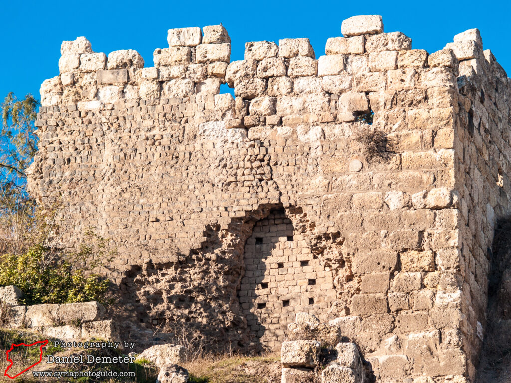
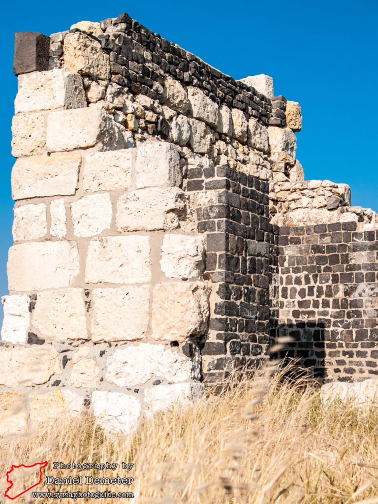
Remains of the Homs Citadel (قلعه حمص), located southwest of the old city, appear to be of Ayyubid origin. The fortifications were restored during the Mamluk period under the rule of Baibars (بيبرس), but were largely destroyed in the 1830s when the forces of Mohammed Ali Basha (محمد علي باشا) put down a rebellion against his rule. Several towers survive in varying states of preservation, mostly on the northeastern side. The fortifications were constructed over an archaeological mound dating back to the Bronze Age, and remains of a Roman temple’s alter were excavated at the site in the 1970s.
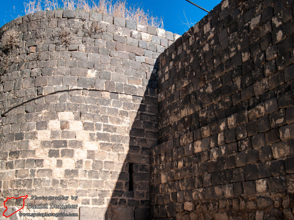
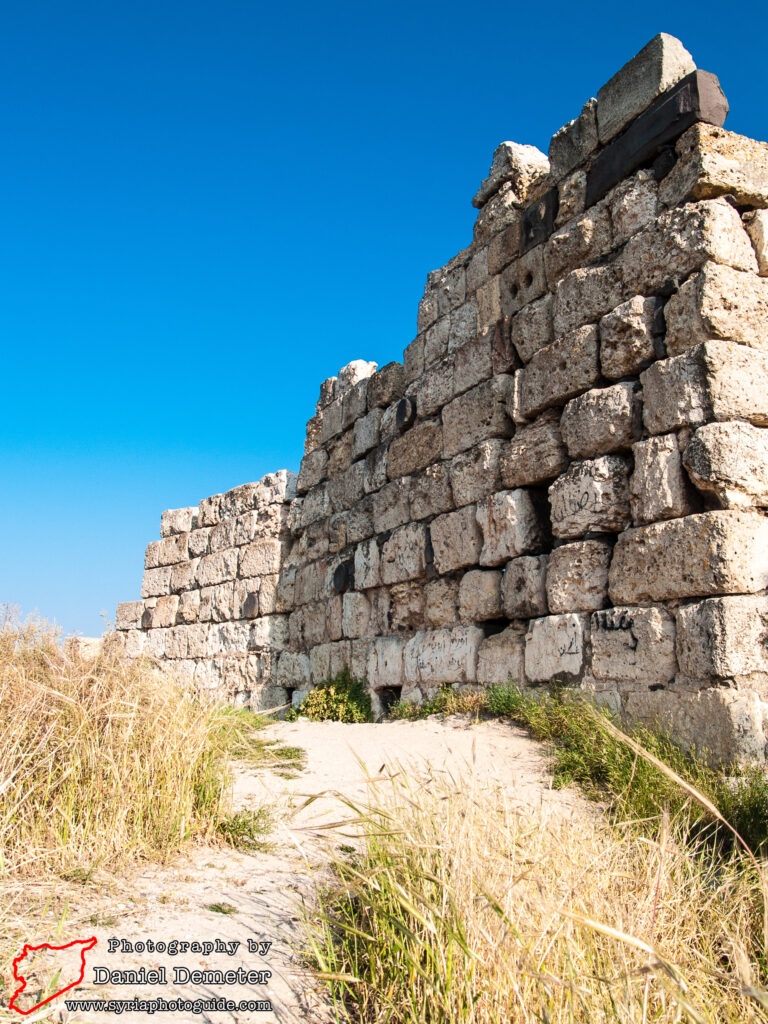
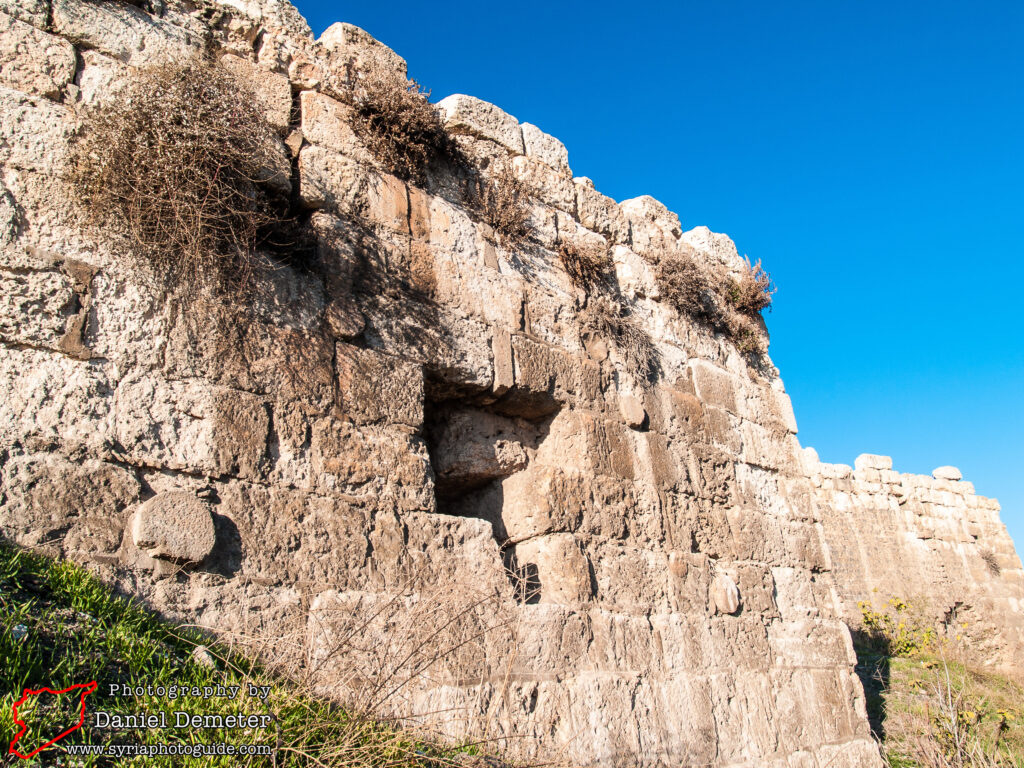
The city walls (جدران المدينه) that once defended the old city of Homs (حمص) were largely demolished during the Ottoman period. One stretch of fortifications survive in the northwestern corner of the old city, including several towers. Another segment of wall survives on the far eastern end of the old city. While these fortifications are modest when compared to those found in Damascus (دمشق) and Aleppo (ﺣﻠﺐ), they can easily be visited while exploring other sites around the old city of Homs (حمص). The citadel mound can be ascended to from the northwestern side.

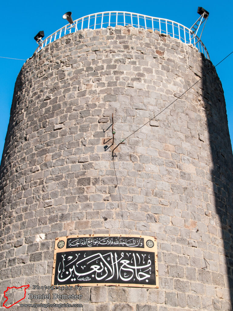
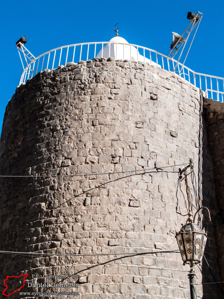
Getting There: Homs (حمص) is Syria’s third largest city and its central location means that it has regular bus connections to all major cities in Syria. The Homs Citadel (قلعه حمص) is located in the southwestern corner of the old city, while remains of city walls (جدران المدينه) are about two hundred meters west of al-Nuri al-Kabir Mosque (جامع النوري الكبير).
Coordinates: 34°43’26.00″N / 36°42’52.00″E
Transliteration Variants: None
Rating: 3 / 10